

Staffordshire Walks

Flash Walks & Route Maps

Flash walk, Staffordshire
Flash · Photo: John Topping

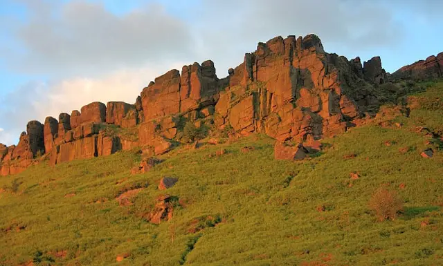
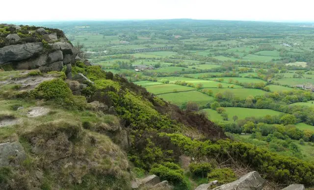
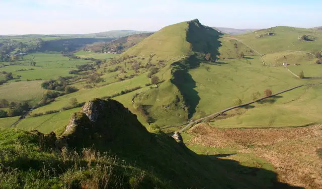
These walks from Flash offer a real taste of wild Staffordshire Moorland, with big skies, open hills and the iconic Three Shires Head as a memorable highlight.

Both routes are adventurous and can be strenuous underfoot, crossing exposed moorland, farmland and steep sections, so come prepared for changing conditions and enjoy a well-earned stop at the village pub afterwards.

Download the Staffordshire Walks App to follow these routes with real-time GPS navigation.

Download on the App Store Get it on Google Play

Walk information

Flash Walk 1

Walk distance
3¾ miles
Time
2 hours
Route type
Circular

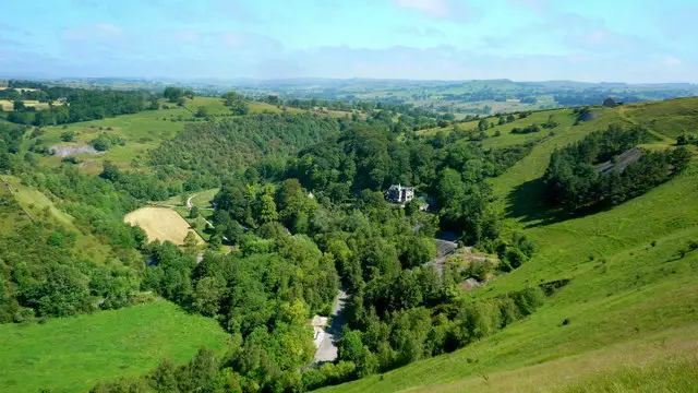
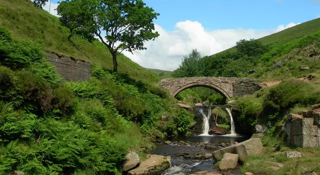
This first walk is a wonderful but strenuous adventure in the Moors close to the Staffordshire/Derbyshire border that explores some beautiful scenery in the area and visits the Three Shires Head bridge which offers a perfect photo opportunity.

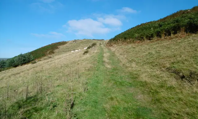
The route takes you across open Moorland, over steep hills and through farmland so please ensure that you have the correct footwear and equipment for a strenuous walk.

You could also encounter livestock on this walk so dogs may need to be controlled and there is some walking along very quiet country lanes on the route.

Finally, there is a small village pub for refreshments after your energetic adventure in the Staffordshire Moors.

Flash Walk 1 4.5 Ratings and reviews 6 ratings · 3 reviews

Based on 6 user ratings

Community feedback

Overall rating4.5

An outstanding walk

Dog friendly4.0 / 5
Path condition3.3 / 5
Buggy friendly1.0 / 5
Wheelchair friendly1.0 / 5
Toilet facilities1.5 / 5
Pub or café3.2 / 5
Route accuracy4.7 / 5
ClimbingPlenty of climbing
LivestockSome livestock
StilesA few stiles on route
Mud levelMay be muddy after wet weather

Real feedback from people who have completed this walk using the Staffordshire Walks app.

First-hand experiences

User reviews

Walker review

Pub is only open on a sunday from 4pm till 10pm

Walker review

The 1.5 hours time is innacurate. It took our family of 4 and one dog nearly 3 hours on a hot day. That was with 20 mins rest. It has plenty of challenging sections, but worth it for some of the delights experienced along the way. Take cash for the farm house selling ice creams and drinks towards the end. The pub at the end was a welcome refreshment stop but does not sell food. Would definitely do the walk again. Thanks for the App and recommendation.

Walker review

Beautiful.

Walk information

Flash Walk 2

Walk distance
6 miles
Time
3.5 hours
Route type
Circular

This second walk option is basically an extension of the first route that heads further north from Three Shires Head and explores more of the beautiful Staffordshire Moors.

As with the first route, this takes you across open Moorland, over steep hills and through farmland so please ensure that you have the correct footwear and equipment for this walk.

Dogs may need to be controlled at times around livestock, there are some quiet lane walking sections on the route and there is a small pub in the village.

Flash Walk 2 3.5 Ratings and reviews 2 ratings

Based on 2 user ratings

Community feedback

Overall rating3.5

A well-liked walk

Dog friendly4.0 / 5
Path condition3.0 / 5
Buggy friendly1.0 / 5
Wheelchair friendly1.5 / 5
Toilet facilities2.0 / 5
Pub or café2.5 / 5
Route accuracy4.5 / 5
ClimbingSome climbing
LivestockSome livestock
StilesSeveral stiles
Mud levelBoots recommended

Real feedback from people who have completed this walk using the Staffordshire Walks app.

Navigate the walks

Staffordshire Walks App

Follow the Flash walks with GPS guidance

It's like sat-nav, but for footpaths.

Choose a walk and follow the pointer showing your live position on the route map, so you always know you're on the right path.

The app works without a phone signal, so you can keep following the route wherever the walk takes you.

Download the app

Download on the App Store Get it on Google Play
Staffordshire Walks app showing the walker's live position on a route map

Designed to be simple

  • Choose a walk and follow the pointer
  • See your live position on the route map
  • Works without a phone signal
  • Includes 150+ Staffordshire walks
  • Free one-month trial
  • Available for iPhone and Android

Explore the area

Nearby walks

Explore the county

Staffordshire walks map

Map data © OpenStreetMap contributors

Search Staffordshire walks

See where the walks start, explore the area and tap a pin to find a route for your next adventure.

Search Staffordshire walks
Expanded route map for Flash Walk 2, a 6 mile circular walk in Staffordshire