

Staffordshire Walks

Biddulph Grange Country Park Walk and Route Map

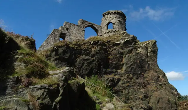
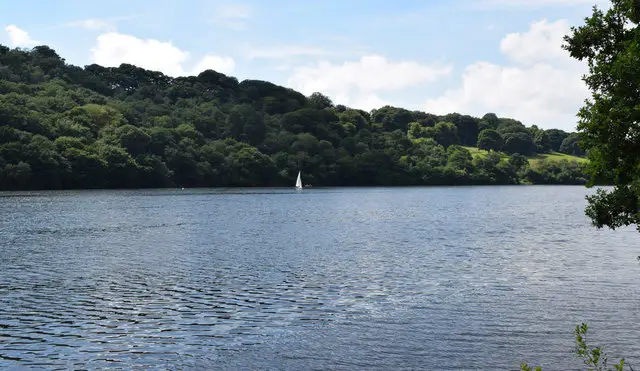
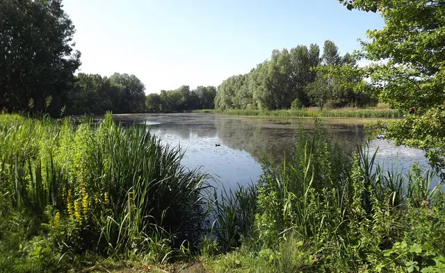
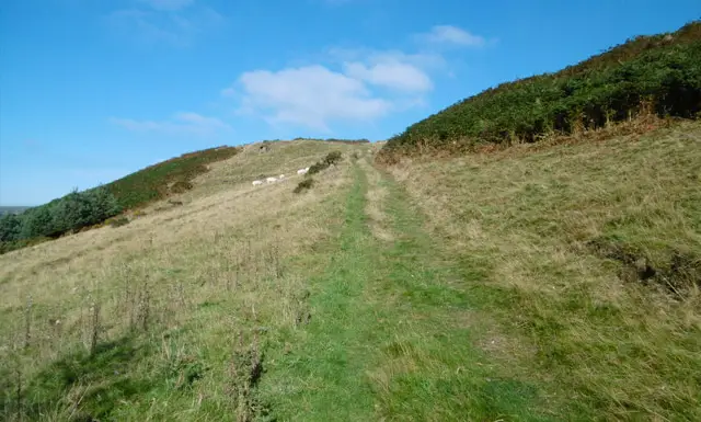
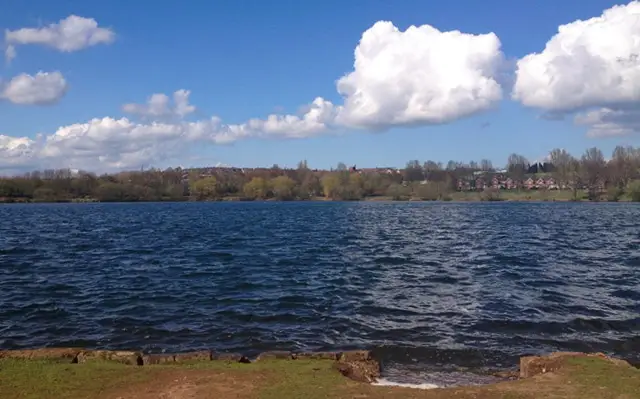
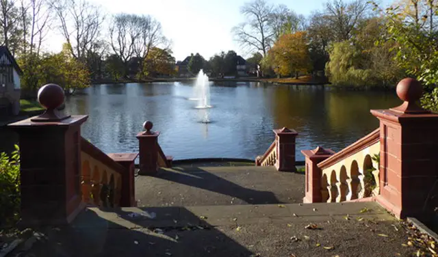
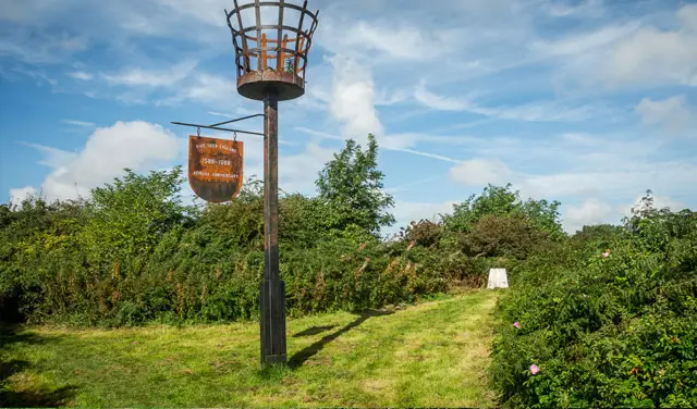
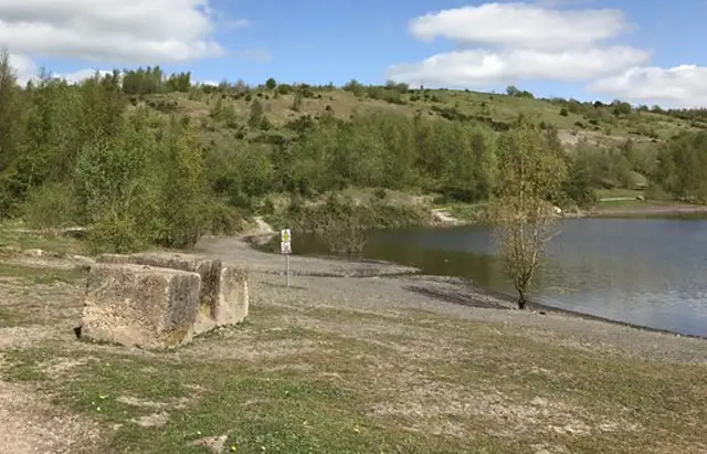
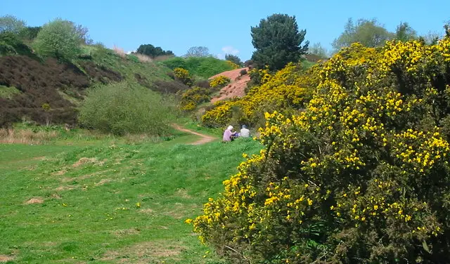
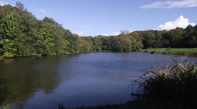
Woodland paths and a tranquil lake in Biddulph Grange Country Park, Staffordshire, with trees reflected in the water
Biddulph Grange Park · Photo: Jonathan Kington

Biddulph Grange Country Park in Staffordshire covers about 73 acres of woodland, meadow, ponds and a large lake. It was once part of the Biddulph Grange estate, which was developed by the Victorian industrialists James Bateman and Robert Heath. Staffordshire Moorlands District Council bought the park in 1988 and Staffordshire Wildlife Trust looks after it today.

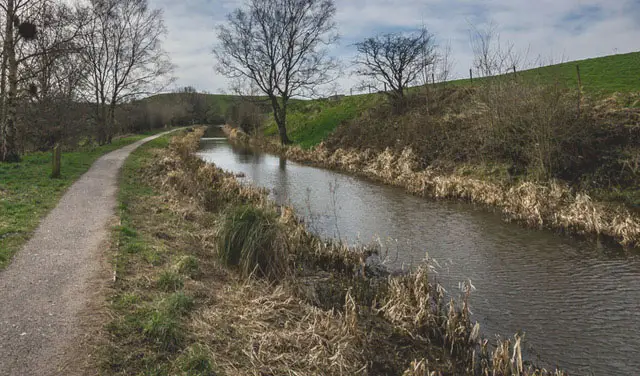
Our short walk makes a pleasant loop through the park. It starts by The Hideaway café, passes close to the famous Biddulph Grange Garden and climbs steadily up to The Leat. It then returns past the lake with its early 1900s hydroelectric scheme and along Wellingtonia Walk. Woodland birds such as great spotted woodpecker, nuthatch and jay can be seen here, and the autumn colour is worth a visit.

The National Trust garden has its own entrance and ticketing, separate from the Country Park, and you will pass near the Grange, the Geological Gallery and the tea rooms at the end. For more walks like this, take a look at the Staffordshire Walks app.

Download the Staffordshire Walks App to follow this route with real-time GPS navigation.

Download on the App Store Get it on Google Play

On a computer? Scan the QR code with your phone's camera to get the Staffordshire Walks app.

Biddulph Grange Park walk 01

Biddulph Grange Country Park Short Walk

Walk distance
1½ miles
Time
1 hour
Route type
Circular

A compact walk through the wooded hillside park beside Biddulph Grange. It passes the lake and its early 1900s hydroelectric scheme and follows the leat that once fed it. Wellingtonia Walk comes near the end, close to the Grange, the Geological Gallery and the tea rooms. There is a café at the start and a steady climb in the first half. It makes an easy morning or afternoon outing.

This Biddulph Grange Park walk starts at grid reference: 53.131636,-2.160718

Navigate the walks

Staffordshire Walks App

Follow the Biddulph Grange Park walk with GPS guidance

It's like sat-nav, but for footpaths.

Choose a walk and follow the pointer showing your live position on the route map, so you always know you're on the right path.

The app works without a phone signal, so you can keep following the route wherever the walk takes you.

Download the app

Download on the App Store Get it on Google Play

On a computer? Scan the QR code with your phone's camera to get the Staffordshire Walks app.

Staffordshire Walks app showing the walker's live position on a route map

Designed to be simple

  • Choose a walk and follow the pointer
  • See your live position on the route map
  • Works without a phone signal
  • Includes 150+ Staffordshire walks
  • Free one-month trial
  • Available for iPhone and Android

Explore the area

Nearby walks

Explore the county

Staffordshire walks map

Map data © OpenStreetMap contributors

Search Staffordshire walks

See where the walks start, explore the area and tap a pin to find a route for your next adventure.

Search Staffordshire walks
Expanded route map for Biddulph Grange Country Park Short Walk, a 1.5 mile circular walk in Staffordshire