

Staffordshire Walks

Coombes Valley Walks and Route Maps

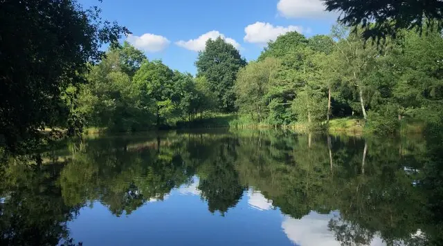
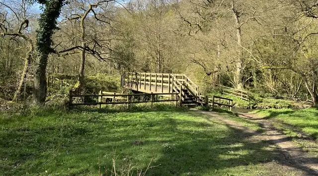
Mature oak woodland on a path through the RSPB's Coombes Valley reserve in the Staffordshire Moorlands
Coombes Valley · Photo: Jonathan Hutchins

Coombes Valley is the oldest RSPB reserve in the Midlands, set in a steep-sided valley on the southern edge of the Staffordshire Moorlands, about five kilometres south of Leek. It opened in 1962 and covers around 100 hectares of broadleaved woodland and grassland, with Coombes Brook winding through old oaks and younger mixed woods.

We have four circular walks here, from a short stroll of under a mile to a longer loop of just over three miles. The shortest passes the Play Trail and the Canopy Walkway and suits families. The longer routes climb through the woods past Buzzard Bank, and the longest also takes in Ferny Hill Wood. Expect steps, narrow footbridges and mud after rain, and note that dogs are not allowed on most of the reserve.

The wildlife is the main draw. Pied flycatchers, redstarts and wood warblers arrive in spring, when the dawn chorus is at its best, while winter brings redwings and fieldfares. There are toilets, refreshments and a picnic area at the visitor centre, and the reserve is open daily. For more walks like this, take a look at the Staffordshire Walks app.

Download the Staffordshire Walks App to follow these routes with real-time GPS navigation.

Download on the App Store Get it on Google Play

On a computer? Scan the QR code with your phone's camera to get the Staffordshire Walks app.

Coombes Valley walk 01

Coombes Valley Short Woodland Walk

Walk distance
¾ miles
Time
30 mins
Route type
Circular

A brief woodland stroll at the RSPB's Coombes Valley reserve in the Staffordshire Moorlands. It takes in Valley View, the Play Trail and the Canopy Walkway, then drops to Coombes Brook near Apesford Lane. It is a handy option for families or anyone short of time, with mature trees overhead and a gentle taste of the reserve.

Coombes Valley Short Woodland Walk No ratings yet Be the first - rate this walk in the Staffordshire Walks App

Coombes Valley walk 02

Coombes Valley Woodland Loop

Walk distance
1½ miles
Time
1 hour
Route type
Circular

A medium-length circuit of the RSPB's Coombes Valley reserve, close to Leek. Mature woodland shades most of the walk, which passes Buzzard Bank and Coombes Brook and comes close to the Canopy Walkway. Two moderate climbs add some effort, and spring visitors may hear pied flycatchers and redstarts in the oaks.

Coombes Valley Woodland Loop No ratings yet Be the first - rate this walk in the Staffordshire Walks App

Coombes Valley walk 03

Coombes Valley Brook and Woodland Walk

Walk distance
2¾ miles
Time
1.5 hours
Route type
Circular

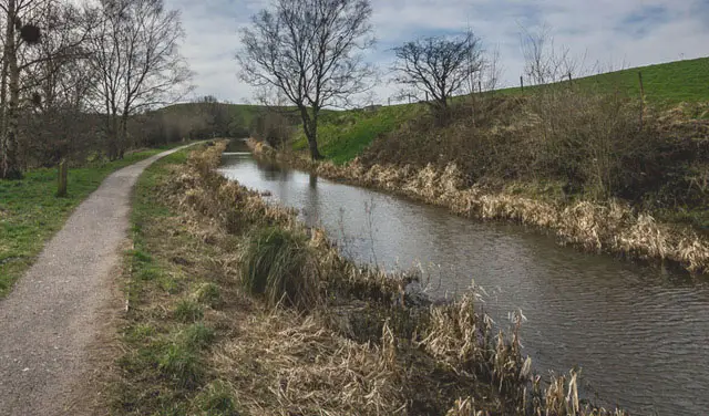
A fuller exploration of the RSPB's Coombes Valley reserve in the Staffordshire Moorlands. The circuit runs through old oak woodland and spends time beside Coombes Brook near Apesford Lane before coming back past the Canopy Walkway. Climbs are moderate but frequent, and paths can be muddy, so wear sturdy footwear.

Coombes Valley Brook and Woodland Walk No ratings yet Be the first - rate this walk in the Staffordshire Walks App

Coombes Valley walk 04

Coombes Valley Long Woodland Walk via Ferny Hill

Walk distance
3¼ miles
Time
1.5 hours
Route type
Circular

The most adventurous circuit at the RSPB's Coombes Valley reserve. It heads up through Ferny Hill Wood, passes close to Ferny Hill, then follows Coombes Brook before returning by the Canopy Walkway. Expect steady climbs and muddy patches, and plenty of birdlife, from spring migrants to winter thrushes.

Coombes Valley Long Woodland Walk via Ferny Hill No ratings yet Be the first - rate this walk in the Staffordshire Walks App

Navigate the walks

Staffordshire Walks App

Follow the Coombes Valley walks with GPS guidance

It's like sat-nav, but for footpaths.

Choose a walk and follow the pointer showing your live position on the route map, so you always know you're on the right path.

The app works without a phone signal, so you can keep following the route wherever the walk takes you.

Download the app

Download on the App Store Get it on Google Play

On a computer? Scan the QR code with your phone's camera to get the Staffordshire Walks app.

Staffordshire Walks app showing the walker's live position on a route map

Designed to be simple

  • Choose a walk and follow the pointer
  • See your live position on the route map
  • Works without a phone signal
  • Includes 150+ Staffordshire walks
  • Free one-month trial
  • Available for iPhone and Android

Explore the area

Nearby walks

Explore the county

Staffordshire walks map

Map data © OpenStreetMap contributors

Search Staffordshire walks

See where the walks start, explore the area and tap a pin to find a route for your next adventure.

Search Staffordshire walks
Expanded route map for Coombes Valley Short Woodland Walk, a 0.75 mile circular walk in Staffordshire