
At a glance
Sandon Park Walk
- Distance
- 4.25 miles
- Estimated time
- 2 hours
- Route type
- Circular
- GPS app guided
- Yes
- Parking
- Roadside parking at start 52.86322, -2.06924
- Characteristics
- Woodland, Countryside
Staffordshire Walks
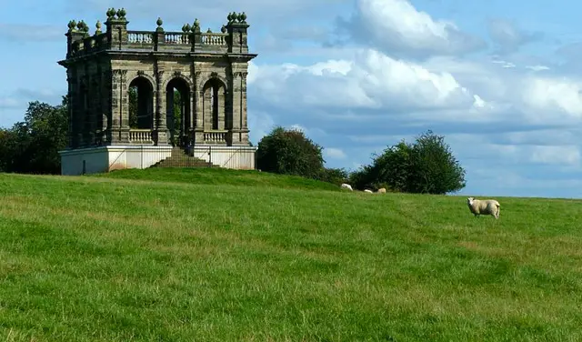
This walk is a peaceful, off-the-beaten-track wander through the beautiful parkland and surrounding countryside of Sandon.
You’ll pass the striking Folly Tower, explore open fields and woodland, and enjoy a gentle meander through nearby Gayton before looping back through quiet lanes and Sandon Woods to your starting point.
Download the Staffordshire Walks App to follow this route with real-time GPS navigation.


At a glance
The walk
This is an 'off-the-beaten track' peaceful countryside walk around the pretty Sandon Park and it's surrounding countryside.
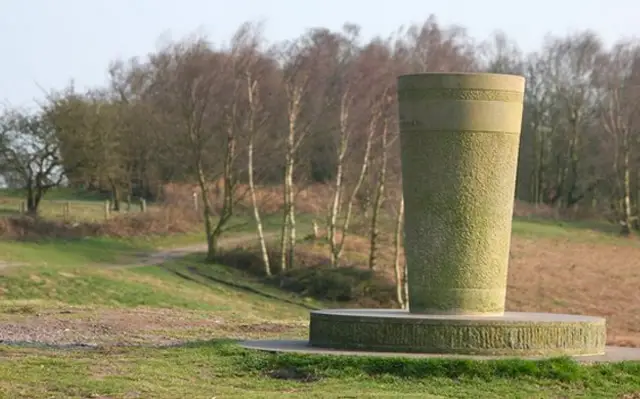
Heading anticlockwise, you'll stroll through the open fields of the park itself, passing the Sandon Park Folly Tower on your left as you go. You'll then stroll through more open countryside until you touch into the village of Gayton where you'll meander through the grounds of a nice church.
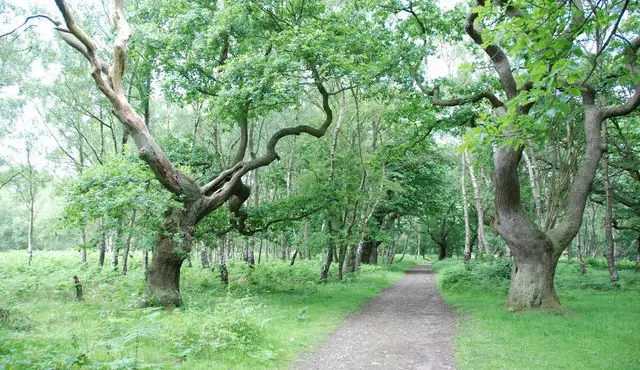
After that there is a section of road walking along a quiet country lane before you cut back into some countryside to start the return journey to the start point, passing through the nice woodlands of Sandon Woods on the way.
Based on 5 user ratings
A very popular walk
Fine with dogs
Reasonable paths
Hard going with a buggy
Not wheelchair accessible
No facilities
Not much on route
Spot on
Real feedback from people who have completed this walk using the Staffordshire Walks app.
First-hand experiences
Loved the views
Enjoyable walk with lovely scenery. Slight problem with accuracy of route through the wood, otherwise very good.
Excellent walk.
Comments from walkers who have completed the Sandon Park walk.
Navigate the walks
The easiest way to follow this route is with the Staffordshire Walks app. Choose the walk and follow the pointer showing your live position on the route map, so you can see you're on the right path.
The app works without a phone signal, so you can keep following the route wherever the walk takes you.

Explore the area
 1-3.75 miles
 5 miles
 4-4.5 miles
 1.25-2.5 miles
 1.25-2.25 miles
 1.25 miles
 1.25-5.25 miles
 5.25 miles
 1.25 miles
 3.75 miles
 2.75-8.75 miles
2.75 miles
8.75 miles
2.75-8.75 miles
2.75 miles
8.75 miles
 2.5 miles
 0.5-6.5 miles
Explore the county
See where the walks start, explore the area and tap a pin to find a route for your next adventure.
Search Staffordshire walks