

Staffordshire Walks

Downs Banks Walks & Route Maps

Downs Banks walk, Staffordshire
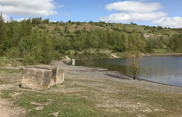
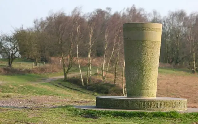
Downs Banks · Photo: Stephen Betteridge

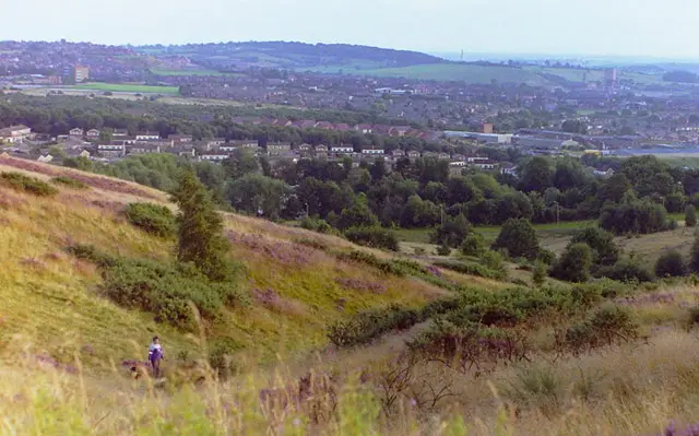
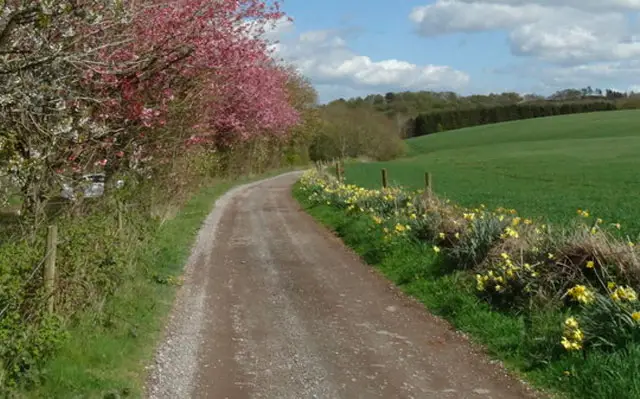
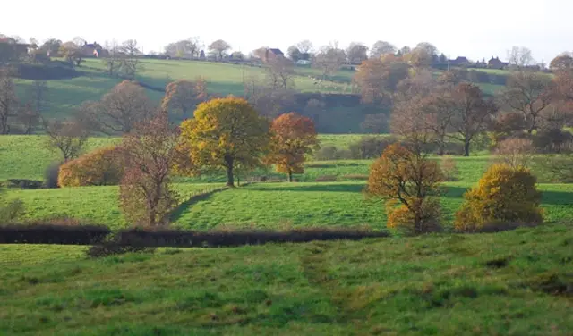
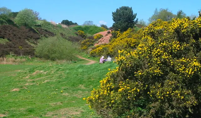
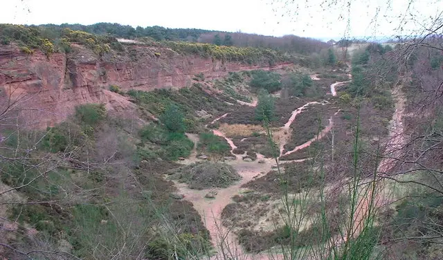
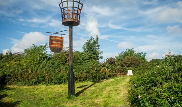
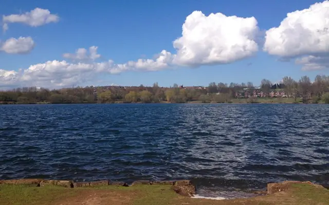
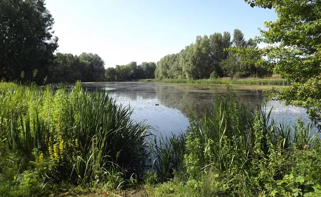
These walks at Downs Banks offer a wonderful mix of woodland, heath and far-reaching countryside views.

The shorter route is a pleasant circular stroll through peaceful natural surroundings, while the longer option explores more of the hillside before climbing to enjoy sweeping panoramic views across Staffordshire.

Both walks provide a refreshing escape with just enough ascent to make those views feel well earned.

Download the Staffordshire Walks App to follow these routes with real-time GPS navigation.

Download on the App Store Get it on Google Play

Walk information

Downs Banks Walk 1

Walk distance
1¼ miles
Time
30 mins
Route type
Circular

A short circular walk around the National Trust's Downs Bank.

Wander through a little wilderness of woodland and heathland and a climb up the hill to be rewarded with wonderful views across the surrounding countryside.

Downs Banks Walk 1 No ratings yet Be the first - rate this walk in the Staffordshire Walks App

Walk information

Downs Banks Walk 2

Walk distance
2¼ miles
Time
1 hour
Route type
Circular

This is a slightly longer walk that takes you around the edges of Downs Bank and up the hill for panoramic views across the Staffordshire countryside.

Downs Banks Walk 2 5.0 Ratings and reviews 1 rating · 1 review

Based on 1 user rating

Community feedback

Overall rating5.0

An outstanding walk

Dog friendly5.0 / 5
Path condition5.0 / 5
Buggy friendly1.0 / 5
Wheelchair friendly1.0 / 5
Toilet facilities1.0 / 5
Pub or café3.0 / 5
Route accuracy5.0 / 5
ClimbingSome climbing
LivestockRarely any livestock
StilesA few stiles on route
Mud levelWellies when wet

Real feedback from people who have completed this walk using the Staffordshire Walks app.

First-hand experiences

User reviews

Walker review

Great route. Some bits are very steep, so take your time and go at your pace and you will love it.

Navigate the walks

Staffordshire Walks App

Follow the Downs Banks walks with GPS guidance

It's like sat-nav, but for footpaths.

Choose a walk and follow the pointer showing your live position on the route map, so you always know you're on the right path.

The app works without a phone signal, so you can keep following the route wherever the walk takes you.

Download the app

Download on the App Store Get it on Google Play
Staffordshire Walks app showing the walker's live position on a route map

Designed to be simple

  • Choose a walk and follow the pointer
  • See your live position on the route map
  • Works without a phone signal
  • Includes 150+ Staffordshire walks
  • Free one-month trial
  • Available for iPhone and Android

Explore the area

Nearby walks

Explore the county

Staffordshire walks map

Map data © OpenStreetMap contributors

Search Staffordshire walks

See where the walks start, explore the area and tap a pin to find a route for your next adventure.

Search Staffordshire walks
Expanded route map for Downs Banks Walk 1, a 1.25 mile circular walk in Staffordshire