Staffordshire Walks

Oakamoor Walks & Route Maps

Oakamoor walk, Staffordshire
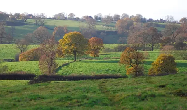
Oakamoor · Photo: Brian Deegan

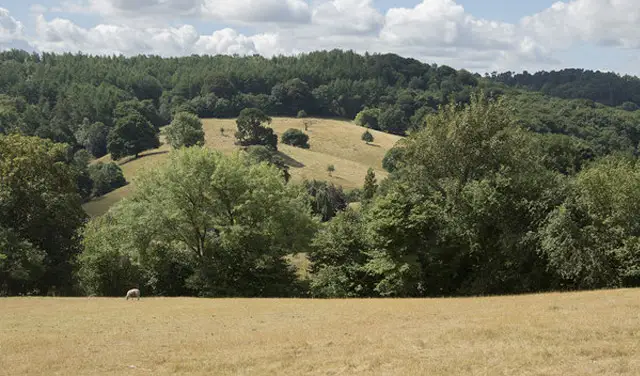
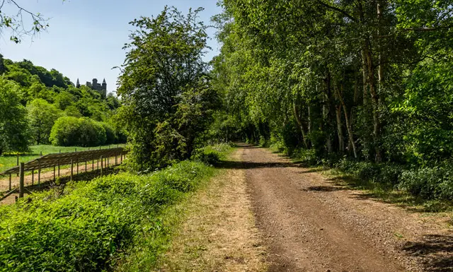
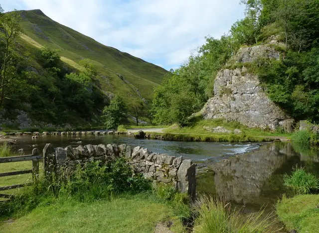
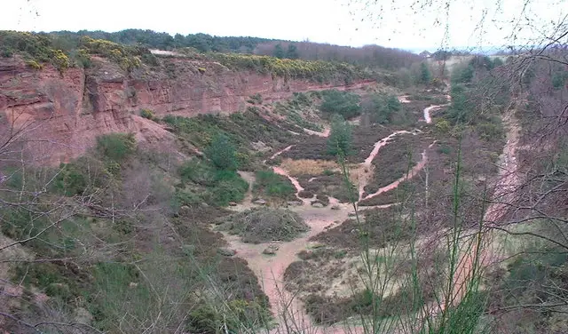
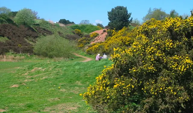
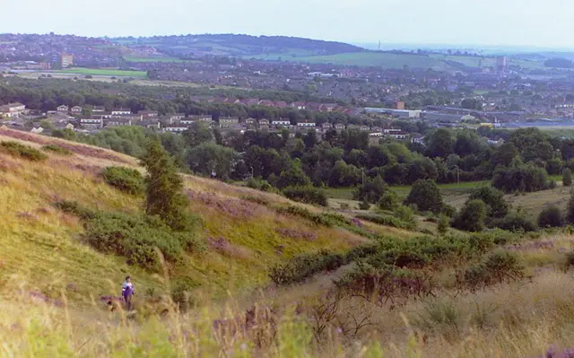
These walks from the pretty village of Oakamoor offer something for everyone, from a gentle riverside stroll to more strenuous adventures in the beautiful Churnet Valley countryside.

Whether you choose a relaxed wander along the River Churnet and around the village lanes, or tackle the steeper woodland climbs and moorland trails above the valley, the walks reward you with lovely views, peaceful scenery and a welcoming pub at the end.

Download the Staffordshire Walks App to follow these routes with real-time GPS navigation.

Download on the App Store Get it on Google Play

Walk information

Oakamoor Walk 1

Walk distance
1 mile
Time
30 mins
Route type
Circular

This first walk is a simple family-friendly stroll around the pretty village of Oakamoor.

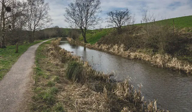
You'll stroll alongside the River Churnet for a while, explore the woodlands in the area and also roam the pretty streets of the village where there are a couple of lovely pubs to enjoy.

Oakamoor Walk 1 No ratings yet Be the first - rate this walk in the Staffordshire Walks App

Walk information

Oakamoor Walk 2

Walk distance
3½ miles
Time
1.5 hours
Route type
Circular

This second route takes you on an adventure to the South and along the Churnet Valley.

Head anticlockwise around this route as this gets the main big and strenuous climb out of the way first as you climb up the steep and wooded Moss's Banks.

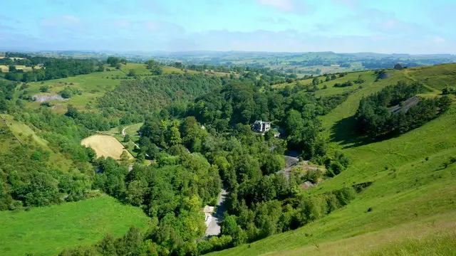
After the climb, the route is then much easier going as you join the Oasal Dale track and stroll down past the pretty Mill's Pond (from the walk photo) to Lord's Bridge. You'll then meet up with the Churnet Valley cycleway for a sweeping walk back towards the village.

When you get back to Oakamoor, there is then a short circular meander around the village itself where you can visit either of the nice pubs for refreshments.

Oakamoor Walk 2 4.0 Ratings and reviews 2 ratings

Based on 2 user ratings

Community feedback

Overall rating4.0

A very popular walk

Dog friendly4.5 / 5
Path condition3.0 / 5
Buggy friendly0.5 / 5
Wheelchair friendly1.0 / 5
Toilet facilities4.0 / 5
Pub or café3.0 / 5
Route accuracy3.5 / 5
ClimbingSome climbing
LivestockNo livestock
StilesA stile or two
Mud levelMostly dry

Real feedback from people who have completed this walk using the Staffordshire Walks app.

Walk information

Oakamoor Walk 3

Walk distance
4 miles
Time
2 hours
Route type
Circular

This final route option is another strenuous adventure in this wonderful part of Staffordshire.

Head clockwise on this one to walk along the river and then climb up into the woodland like the second route. It then takes you much further north than that one, with much more climbing, until you finally reach the Staffordshire Moorlands Walk trail.

From there you'll enjoy some nice views before following the long Moorlands trail back towards Oakamoor, eventually tracking the Cotton Brook wooded valley as you come back into the village.

You'll be glad to know that the last stretch is downhill most of the way as you work your way back to your reward in the village's lovely oubs, and includes one very steep decline so be careful there.


Oakamoor Walk 3 4.0 Ratings and reviews 2 ratings · 1 review

Based on 2 user ratings

Community feedback

Overall rating4.0

A very popular walk

Dog friendly2.5 / 5
Path condition3.5 / 5
Buggy friendly1.0 / 5
Wheelchair friendly1.0 / 5
Toilet facilities1.5 / 5
Pub or café2.0 / 5
Route accuracy3.0 / 5
ClimbingPlenty of climbing
LivestockRarely any livestock
StilesA few stiles on route
Mud levelBoots recommended

Real feedback from people who have completed this walk using the Staffordshire Walks app.

First-hand experiences

User reviews

Walker review

Fab walk, really easy route to follow

Navigate the walks

Staffordshire Walks App

Follow the Oakamoor walks with GPS guidance

It's like sat-nav, but for footpaths.

Choose a walk and follow the pointer showing your live position on the route map, so you always know you're on the right path.

The app works without a phone signal, so you can keep following the route wherever the walk takes you.

Download the app

Download on the App Store Get it on Google Play
Staffordshire Walks app showing the walker's live position on a route map

Designed to be simple

  • Choose a walk and follow the pointer
  • See your live position on the route map
  • Works without a phone signal
  • Includes 150+ Staffordshire walks
  • Free one-month trial
  • Available for iPhone and Android

Explore the area

Nearby walks

Explore the county

Staffordshire walks map

Map data © OpenStreetMap contributors

Search Staffordshire walks

See where the walks start, explore the area and tap a pin to find a route for your next adventure.

Search Staffordshire walks
Expanded route map for Oakamoor Walk 1, a 1 mile circular walk in Staffordshire