

Staffordshire Walks

Weag's Bridge Walks & Route Maps

Weag's Bridge walk, Staffordshire
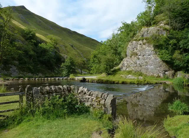
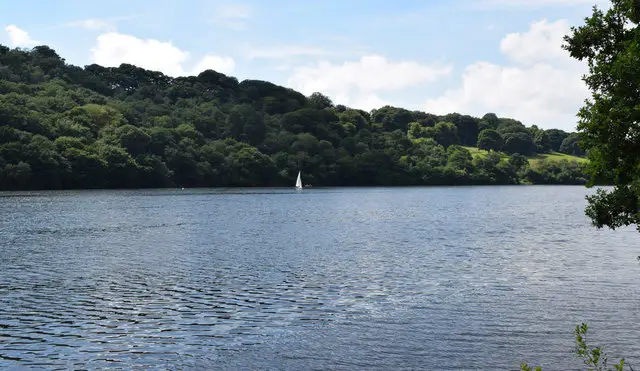
Weag's Bridge · Photo: Chris Morgan

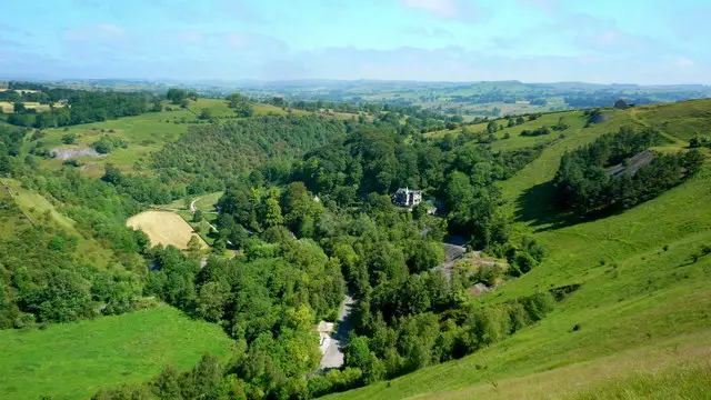
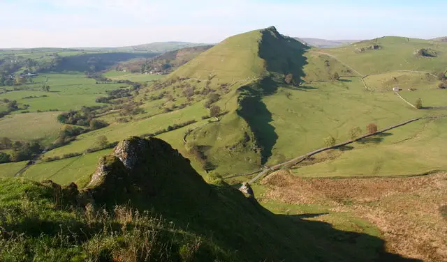
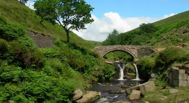
Set in the beautiful Manifold Valley, these walks from Weag’s Bridge make the most of the scenic Manifold Track and the surrounding rolling countryside.

The walks range from a short, gentle loop to longer and more adventurous routes that follow the River Manifold, visit Thor’s Cave, explore quiet villages and lanes, and even pass the atmospheric ruins of Throwley Old Hall.

With sections of old railway trail, open fields and some rewarding hill climbs, these walks offer something for everyone – just be sure to go prepared if you choose one of the more strenuous options.

Download the Staffordshire Walks App to follow these routes with real-time GPS navigation.

Download on the App Store Get it on Google Play

Walk information

Weag's Bridge Walk 1

Walk distance
1¾ miles
Time
1 hour
Route type
Circular

Our first route option is our shortest walk from the Weag's Bridge car park and it takes you along a short section of the Manifold track and loops back up and through lovely countryside back to the start.

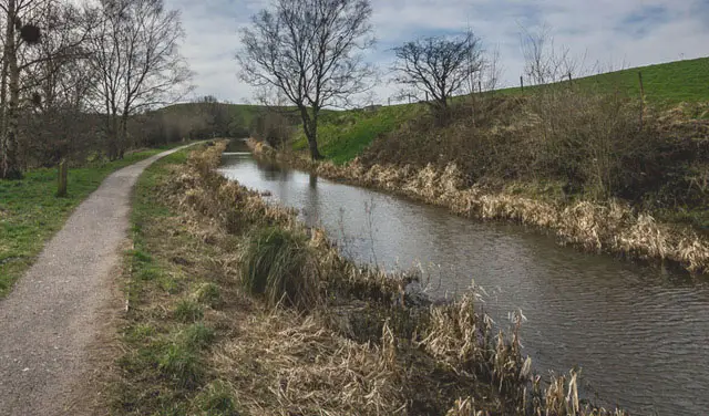
The Manifold Track is popular with walkers, cyclists and horse riders and follows the old disused Leek and Manifold Light Railway and parts of the River Manifold and River Hamps.

Weag's Bridge Walk 1 4.0 Ratings and reviews 1 rating · 1 review

Based on 1 user rating

Community feedback

Overall rating4.0

A very popular walk

Dog friendly4.0 / 5
Path condition4.0 / 5
Buggy friendly2.0 / 5
Wheelchair friendly2.0 / 5
Toilet facilities2.0 / 5
Pub or café0.0 / 5
Route accuracy5.0 / 5
ClimbingGentle slopes
LivestockSome livestock
StilesA few stiles on route
Mud levelBoots recommended

Real feedback from people who have completed this walk using the Staffordshire Walks app.

First-hand experiences

User reviews

Walker review

In wet weather i would...Suggest coming back via the road as the last field has sheep in and due to the steep gradient and mud it is very slippy in places.

Walk information

Weag's Bridge Walk 2

Walk distance
3 miles
Time
2 hours
Route type
Circular

This second option is a lovely circular walk that includes a longer section of the Manifold track and follows the route of the River Manifold as well as taking you across fields, open countryside and through the village of Grindon.

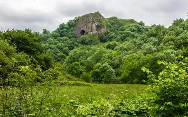
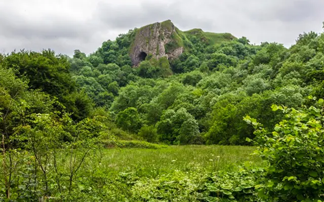
We have also added a detour to the route which will take you to Thor's Cave which is a natural cavern located in a steep limestone crag. There are some hill climbs on this route.

Weag's Bridge Walk 2 4.7 Ratings and reviews 3 ratings · 2 reviews

Based on 3 user ratings

Community feedback

Overall rating4.7

An outstanding walk

Dog friendly2.3 / 5
Path condition3.3 / 5
Buggy friendly1.3 / 5
Wheelchair friendly1.3 / 5
Toilet facilities2.0 / 5
Pub or café1.7 / 5
Route accuracy4.3 / 5
ClimbingSome climbing
LivestockSome livestock
StilesSeveral stiles
Mud levelMay be muddy after wet weather

Real feedback from people who have completed this walk using the Staffordshire Walks app.

First-hand experiences

User reviews

Walker review

We really enjoyed this walk and generally the paths were ok with just one short steepish ascent from the MVW onto the footpath towards the woods. The only issue we had was in the fields just before we got to Grindon. It was an absolute quagmire due to cattle and very wet ground. If we did this again I would try it in summer when the ground is drier.

Walker review

Lovely walk with plenty of views.Did the detour to Thors Cave, be warned plenty of steps and narrow to get up. I did thoroughly enjoy it but mixed reviews from my other half who landed bottom first in a cow patch.

Walk information

Weag's Bridge Walk 3

Walk distance
4½ miles
Time
2.5 hours
Route type
Circular

This is our third walk from Weag's Bridge and it follows a wonderful stretch of the Manifold track, which snakes through the Manifold and Hamps Valleys.

As you reach the end of the Manifold track section of this route, there is a delightful tea room but please check that it's open beforehand.

The walk then takes you back through fields, quiet lanes/tracks and open countryside.

There are some hill climbs on this route.

Weag's Bridge Walk 3 4.0 Ratings and reviews 2 ratings · 1 review

Based on 2 user ratings

Community feedback

Overall rating4.0

A very popular walk

Dog friendly3.0 / 5
Path condition3.0 / 5
Buggy friendly1.0 / 5
Wheelchair friendly2.0 / 5
Toilet facilities2.5 / 5
Pub or café1.0 / 5
Route accuracy3.5 / 5
ClimbingPlenty of climbing
LivestockNo livestock
StilesA few stiles on route
Mud levelMay be muddy after wet weather

Real feedback from people who have completed this walk using the Staffordshire Walks app.

First-hand experiences

User reviews

Walker review

Outward leg (clockwise ) flat with good even surface. Tea room closed 5 years ago....Return leg mainly over fields. Path not always clear....Some of the gates in the first half of the return leg have been nailed shut leaving only the stile available. ...Nearest cafe with toilets in Grindon.

Walk information

Weag's Bridge Walk 4

Walk distance
6½ miles
Time
3.5 hours
Route type
Circular

Our final walk from Weag's Bridge is another wonderful but strenuous adventure in this lovely area.

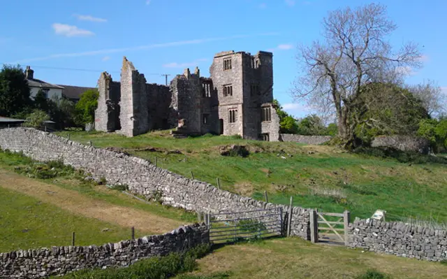
If you head anticlockwise on this route it takes up all the way south along the wonderful Manifold track until you nearly reach the village of Calton before then looping back through glorious undulating countryside, visiting the ruins of Throwley Old Hall on the way.

There are a lot of hills on the route, so please go prepared with appropriate footwear and refreshments.

Weag's Bridge Walk 4 No ratings yet Be the first - rate this walk in the Staffordshire Walks App

Navigate the walks

Staffordshire Walks App

Follow the Weag's Bridge walks with GPS guidance

It's like sat-nav, but for footpaths.

Choose a walk and follow the pointer showing your live position on the route map, so you always know you're on the right path.

The app works without a phone signal, so you can keep following the route wherever the walk takes you.

Download the app

Download on the App Store Get it on Google Play
Staffordshire Walks app showing the walker's live position on a route map

Designed to be simple

  • Choose a walk and follow the pointer
  • See your live position on the route map
  • Works without a phone signal
  • Includes 150+ Staffordshire walks
  • Free one-month trial
  • Available for iPhone and Android

Explore the area

Nearby walks

Explore the county

Staffordshire walks map

Map data © OpenStreetMap contributors

Search Staffordshire walks

See where the walks start, explore the area and tap a pin to find a route for your next adventure.

Search Staffordshire walks
Expanded route map for Weag's Bridge Walk 1, a 1.75 mile circular walk in Staffordshire