

Staffordshire Walks

Thorpe Cloud Walk and Route Map

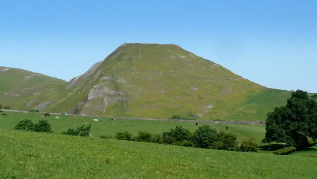
Thorpe Cloud
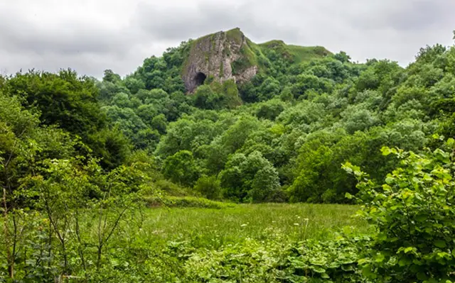
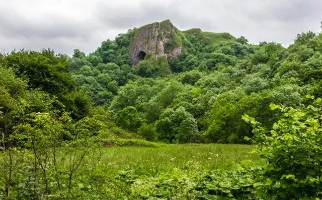
Dovedale · Photo: Mark Percy

If you're looking for a Thorpe Cloud walk, these two routes let you explore one of the most distinctive landmarks in the Peak District.

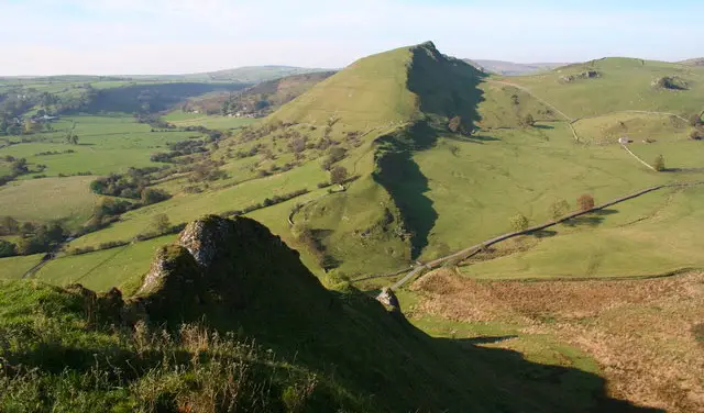
Standing at 287 metres (942 feet), Thorpe Cloud is an isolated limestone hill overlooking Dovedale and its famous stepping stones. The short first walk takes you on a steep and adventurous climb to the summit, where you'll be rewarded with wonderful panoramic views across Dovedale and the surrounding countryside.

If you'd prefer a longer walk, the second route explores the beautiful countryside around the base of Thorpe Cloud, taking you alongside the River Dove, across the Dovedale stepping stones and through a mixture of woodland and open countryside towards the village of Thorpe.

You can also combine the two for a longer adventure, enjoying the climb to the top of Thorpe Cloud as well as the River Dove, stepping stones and surrounding countryside.

If you would like to explore the area even further, you can find more Dovedale walks here.

Download the Staffordshire Walks App to follow these routes with real-time GPS navigation.

Download on the App Store Get it on Google Play

On a computer? Scan the QR code with your phone's camera to get the Staffordshire Walks app.

Dovedale walk 01

Thorp Cloud Summit Walk

Walk distance
1¼ miles
Time
1 hour
Route type
Circular

This short but adventurous walk takes you on a steep climb to the top of Thorpe Cloud, one of the most distinctive landmarks in Dovedale.

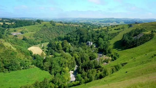
The climb is challenging and gets particularly steep towards the summit, with a little scrambling required near the top. Once you reach the ridge, however, you'll be rewarded with breathtaking panoramic views across Dovedale and the surrounding Peak District countryside.

Take extra care on the climb and around the summit, where there are steep and exposed drops. Good footwear is essential, and this walk is best tackled in suitable weather conditions.

Thorp Cloud Summit Walk No ratings yet Be the first - rate this walk in the Staffordshire Walks App

Dovedale walk 02

Thorpe Cloud and Village Walk

Walk distance
3 miles
Time
1.5 hours
Route type
Circular

If you want to extend the walk, you can continue with this longer circular route around the base of Thorpe Cloud and through the surrounding countryside.

Heading clockwise, the walk initially follows the River Dove, taking you across the picturesque Dovedale stepping stones before continuing around the foot of Thorpe Cloud. From here, the route heads through a mixture of woodland and open countryside towards the village of Thorpe before looping back.

There is a short section of road walking along a quiet lane and a few gentle hills along the way. You'll also find a café near the start of the walk if you fancy some refreshments before or after your adventure.

Thorpe Cloud and Village Walk 4.3 Ratings and reviews 4 ratings · 2 reviews

Based on 4 user ratings

Community feedback

Overall rating4.3

A very popular walk

Dog friendly4.3 / 5
Path condition3.0 / 5
Buggy friendly1.3 / 5
Wheelchair friendly1.0 / 5
Toilet facilities2.0 / 5
Pub or café1.8 / 5
Route accuracy4.8 / 5
ClimbingGentle slopes
LivestockSome livestock
StilesA stile or two
Mud levelBoots recommended

Real feedback from people who have completed this walk using the Staffordshire Walks app.

First-hand experiences

User reviews

Walker review

Great walk. Stones are shut during flood but we were able to do it anyways. Only problem is around the bottom of the walk (near river) it is an absolute mudfest. Really difficult to get through at the bottom, very surprised we didn’t slip over!

Walker review

Great walk, we took 5 year old twins, was perfect distance but extremely muddy as we had lots of rain the day/night before. Need wellies if wet.

Navigate the walks

Staffordshire Walks App

Follow the Dovedale walks with GPS guidance

It's like sat-nav, but for footpaths.

Choose a walk and follow the pointer showing your live position on the route map, so you always know you're on the right path.

The app works without a phone signal, so you can keep following the route wherever the walk takes you.

Download the app

Download on the App Store Get it on Google Play

On a computer? Scan the QR code with your phone's camera to get the Staffordshire Walks app.

Staffordshire Walks app showing the walker's live position on a route map

Designed to be simple

  • Choose a walk and follow the pointer
  • See your live position on the route map
  • Works without a phone signal
  • Includes 150+ Staffordshire walks
  • Free one-month trial
  • Available for iPhone and Android

Explore the area

Nearby walks

Explore the county

Staffordshire walks map

Map data © OpenStreetMap contributors

Search Staffordshire walks

See where the walks start, explore the area and tap a pin to find a route for your next adventure.

Search Staffordshire walks
Expanded route map for Thorp Cloud Summit Walk, a 1.25 mile circular walk in Staffordshire