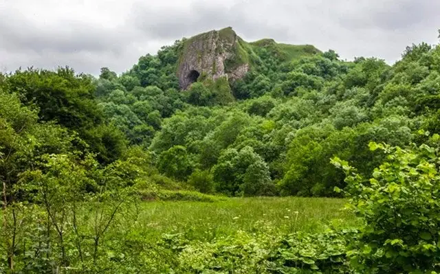
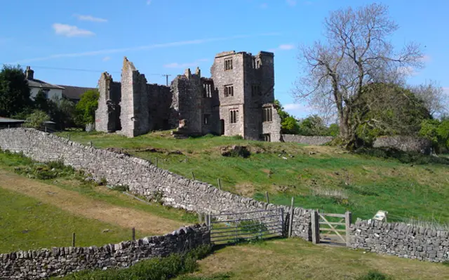
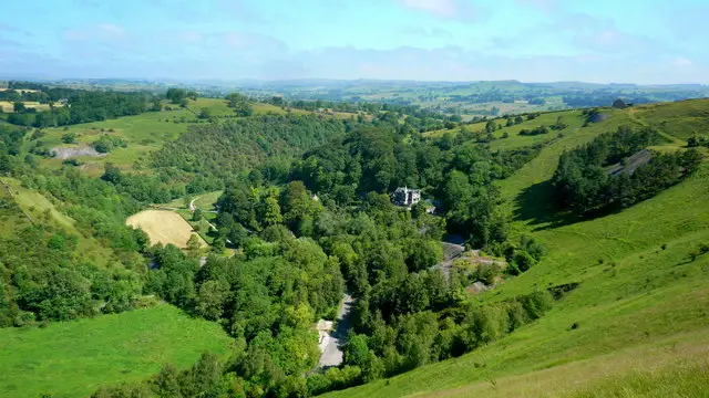
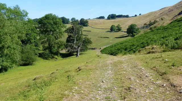
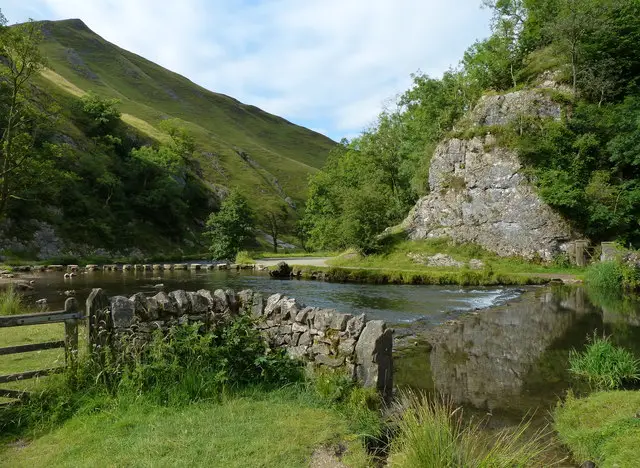
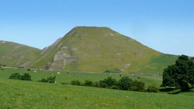
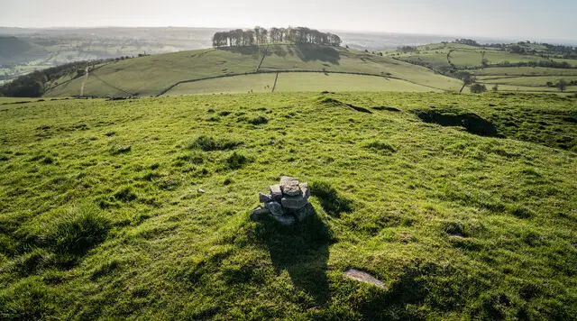
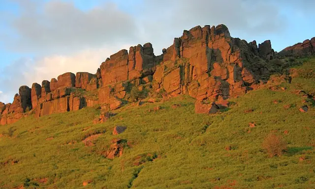
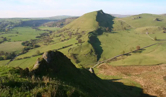
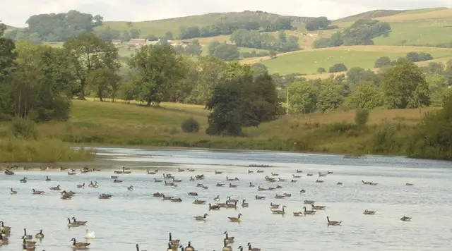
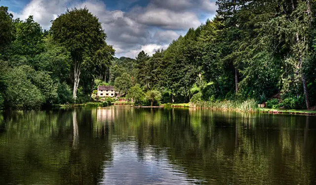
Thor’s Cave is a spectacular natural cavern located in a limestone crag in the Manifold Valley and near the village of Wetton, Staffordshire. Thor’s Cave is a popular beauty spot and is surrounded by wonderful scenery and lovely walks. We have a few walks which take you past Thor’s Cave and the maps below are walks called Wetton Mill walk 2 and 3 on the Staffordshire Walks app.
Points of Interest
Thor’s Cave
This dramatic limestone cavern sits in a craggy cliff face in the Manifold Valley near Wetton, Staffordshire. Its wide, arched mouth is around 7.5?m across and 10?m high, and it's visible from the valley floor. You can head inside—or just soak up the epic views from the entrance.
Steep Trails & Sweeping Views
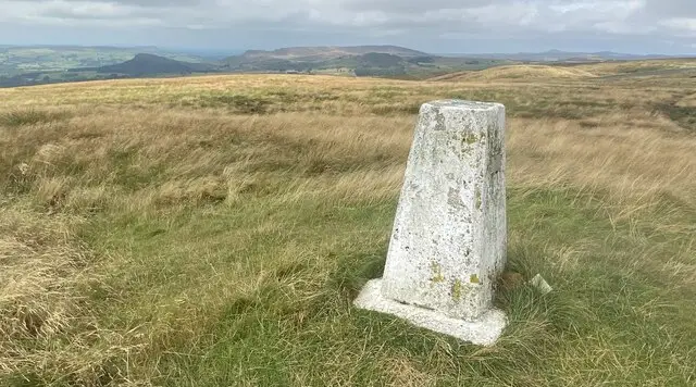
There are two main walking routes: the standard “Wetton Mill & Thor’s Cave walk 2,” which loops around Wetton Hill and takes you past Thor’s Cave and a more intense “Wetton Mill & Thor’s Cave walk 3” that climbs right over Wetton Hill for panoramic views.
Manifold Valley & the Manifold Way
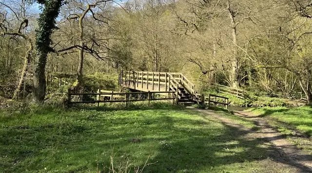
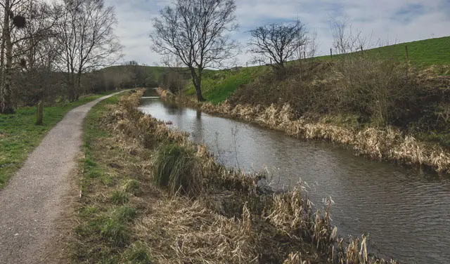
The route includes a serene stretch along the old Leek & Manifold Light Railway, now a gentle trail alongside the River Manifold—perfect for a bit of relaxed strolling or cycling.
History in the Stones
The cave isn’t just pretty—it’s ancient. Archaeologists found evidence of human activity ranging from the end of the Stone Age through to the Iron Age and Roman times, including burials and artefacts.
FAQ’s
Q: Where do I start—or park?
A: The Staffordshire Walks App will take you to the parking and starting location of Thor’s Cave walk, which is at grid reference: 53.10201,-1.860228. You can also park in Wetton village.
Q: How long is the walk?
A: The “Wetton Mill and Thor’s Cave walk?2” is around 4 miles and gives you a good mix of terrain.
If you want something slightly longer, the “Wetton Mill and Thor’s Cave walk?3” is 4.75 miles and includes a climb over Wetton Hill. Strenuous—but the views are well worth it.
Q: Is the path to Thor's Cave steep?
A: Yes — steep, slippery sections are involved, especially near the cave entrance. Conditions can be tricky in wet weather. Good walking boots and caution are a must.
Q: Any refreshments on the way?
A: Yes, there's a pub in Wetton called The Royal Oak and you can also stop at Wetton Mill café. Lovely for a cake or cuppa.
Q: Can I explore inside the cave?
A: Sure—but carefully. The entrance is accessed via a steep path, It's best enjoyed from the threshold or just outside.
User comments
17/03/25
Thors cave. Free public toilets at Wetton car park - about 15 minute walk from Thors cave.
28/09/24
Very good walk for a 4.8 mile...The up hill will get your heart rate up ...Take a good windproof coat for the top of the hill...
On a computer? Scan the QR code with your phone's camera to get the Staffordshire Walks app.
Wetton Mill walk 01
A walk route to visit Thor’s Cave
01
Walk distance
4 miles
Time
2 hours
Route type
Circular
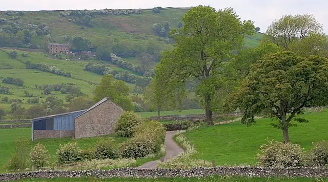
This walk takes you past the wonderful Thor’s Cave and is a nice long, varied and somewhat strenuous walk that fully explores the wonderful landscapes around Wetton Hill. If you head clockwise, this route walks out into the open valley and around the base of Wetton Hill until it takes you into the pretty village of Wetton where you'll find a wonderful pub for refreshments. After that, you'll head out of the village and follow the pretty Thor's Lane on an adventure to the dramatic Thor's Cave. Please be careful around here as there are some dangerous drops to be aware of. Finally, the walk then takes you back to the start via the Manifold Track and there is a welcoming cafe there for any post walk refreshments.
(Please note that on the app, this walk is called Wetton Mill walk 2)
Wetton Mill walk 02
Thor’s Cave alternative walk
02
Walk distance
4¾ miles
Time
2.5 hours
Route type
Circular
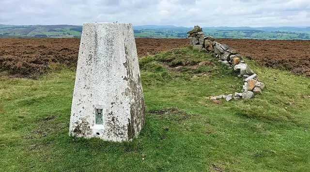
This second Thor’s Cave walk option is basically a turbo-charged version of the route above. It still enjoys the Manifold Track, Thor's Cave, the pub in Wetton and lots of generally wonderful scenery, but instead of walking around the base of Wetton Hill, it climbs right over the top of it. This climb is very steep, so please be careful and make sure you have the correct clothing for the trip. It truly is a strenuous adventure, but you will of course be rewarded with some magnificent panoramic views for your efforts.
(Please note that on the app, this walk is called Wetton Mill walk 3)
These Wetton Mill walks start at coordinates: 53.10201, -1.860228
Navigate the walks
Staffordshire Walks App
Follow the Wetton Mill walks with GPS guidance
It's like sat-nav, but for footpaths.
Choose a walk and follow the pointer showing your live position on the route map, so you always know you're on the right path.
The app works without a phone signal, so you can keep following the route wherever the walk takes you.
Download the app
On a computer? Scan the QR code with your phone's camera to get the Staffordshire Walks app.