

Staffordshire Walks

Norbury Junction Walks & Route Maps

Norbury Junction walk, Staffordshire
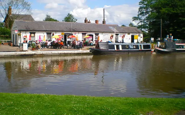
Norbury Junction · Photo: Richard Law

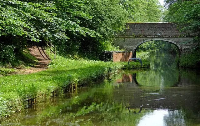
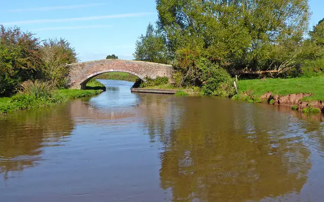
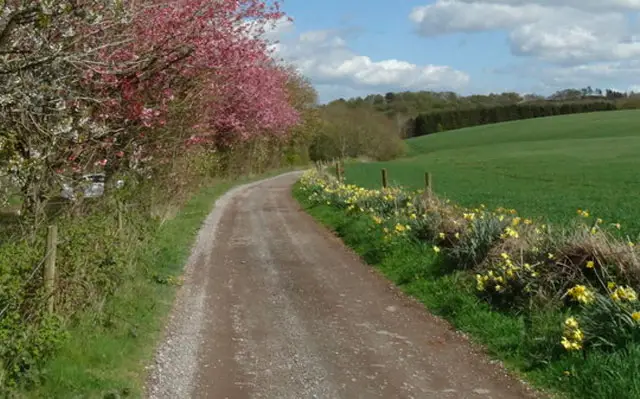
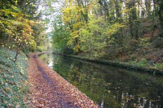
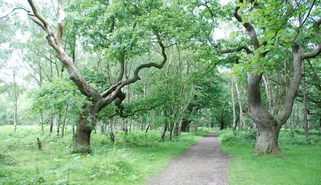
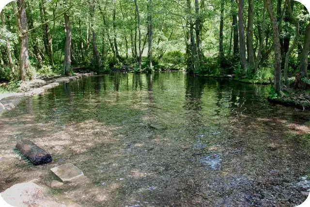
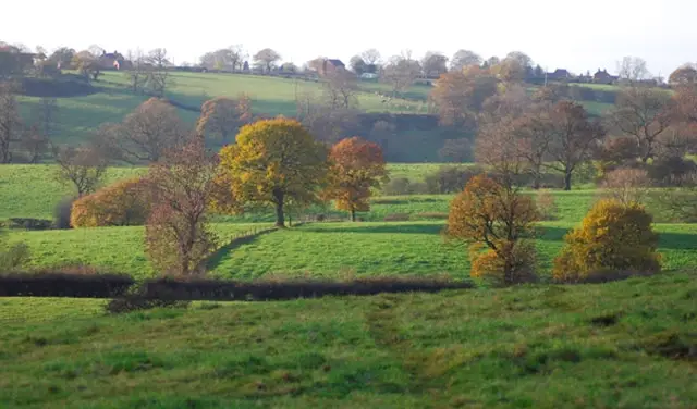
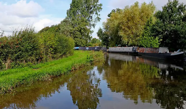
These walks from Norbury Junction offer a lovely mix of peaceful canal towpaths, quiet woodland trails and open countryside views.

Whether you choose a short canalside stroll or a longer circular adventure combining fields, farmland and Shelmore Wood, the walks all finish back at Norbury Junction where tearooms and a pub await for a well-earned treat.

Download the Staffordshire Walks App to follow these routes with real-time GPS navigation.

Download on the App Store Get it on Google Play

Walk information

Norbury Junction Walk 1

Walk distance
2¼ miles
Time
1 hour
Route type
Circular

This first walk option is the shortest of three walks from this start point and follows the towpath along the Shropshire Union canal's main line. When you reach High Bridge, you will need to walk along a busy road to the next footpath (only a very short distance over the other side of the bridge) and this will then take you across open fields and peaceful farmland back to the start of the walk.

There are tearooms and a pub at the start/end of the walk for refreshments.

Norbury Junction Walk 1 4.0 Ratings and reviews 1 rating

Based on 1 user rating

Community feedback

Overall rating4.0

A very popular walk

Dog friendly4.0 / 5
Path condition3.0 / 5
Buggy friendly2.0 / 5
Wheelchair friendly1.0 / 5
Toilet facilities2.0 / 5
Pub or café4.0 / 5
Route accuracy5.0 / 5
ClimbingGentle slopes
LivestockRarely any livestock
StilesNo stiles
Mud levelBoots recommended

Real feedback from people who have completed this walk using the Staffordshire Walks app.

Walk information

Norbury Junction Walk 2

Walk distance
2½ miles
Time
1.5 hours
Route type
Circular

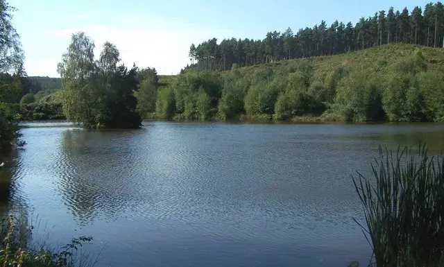
This second option is a pretty countryside walk that starts at Norbury Junction and then follows the road past the tearooms to Shelmore Wood.

The path through the woods then takes you out to Norbury Road, a country lane which will lead you to the towpath of the Shropshire Canal and back to the start. There is some road walking on this route.

There are tearooms and a pub at Norbury Junction for refreshments.

Norbury Junction Walk 2 3.0 Ratings and reviews 1 rating

Based on 1 user rating

Community feedback

Overall rating3.0

Mixed feedback from walkers

Dog friendly4.0 / 5
Path condition4.0 / 5
Buggy friendly4.0 / 5
Wheelchair friendly2.0 / 5
Toilet facilities3.0 / 5
Pub or café4.0 / 5
Route accuracy4.0 / 5
ClimbingTotally level
LivestockRarely any livestock
StilesA stile or two
Mud levelMay be muddy after wet weather

Real feedback from people who have completed this walk using the Staffordshire Walks app.

Walk information

Norbury Junction Walk 3

Walk distance
5½ miles
Time
3 hours
Route type
Circular

This final walk is the longest of the three walks from this start point and basically combines the other two walks together.

Follow the towpath along the Shropshire Union canal's main line. When you reach High Bridge, you will need to walk along the road to the next footpath. (only a very short distance over the other side of the bridge).

This will then take you across open fields and farmland near to the start of the walk but heads in the other direction to Shelmore Wood.

The path through the woods takes you out to Norbury Road, a quiet lane which will lead you to the towpath of the Shropshire Canal and back to the start. There is some road walking on this route.

There are tearooms and pub at Norbury Junction for refreshments.

Norbury Junction Walk 3 4.0 Ratings and reviews 1 rating

Based on 1 user rating

Community feedback

Overall rating4.0

A very popular walk

Dog friendly4.0 / 5
Path condition4.0 / 5
Buggy friendly3.0 / 5
Wheelchair friendly2.0 / 5
Toilet facilities3.0 / 5
Pub or café4.0 / 5
Route accuracy5.0 / 5
ClimbingGentle slopes
LivestockNo livestock
StilesNo stiles
Mud levelDry underfoot

Real feedback from people who have completed this walk using the Staffordshire Walks app.

Navigate the walks

Staffordshire Walks App

Follow the Norbury Junction walks with GPS guidance

It's like sat-nav, but for footpaths.

Choose a walk and follow the pointer showing your live position on the route map, so you always know you're on the right path.

The app works without a phone signal, so you can keep following the route wherever the walk takes you.

Download the app

Download on the App Store Get it on Google Play
Staffordshire Walks app showing the walker's live position on a route map

Designed to be simple

  • Choose a walk and follow the pointer
  • See your live position on the route map
  • Works without a phone signal
  • Includes 150+ Staffordshire walks
  • Free one-month trial
  • Available for iPhone and Android

Explore the area

Nearby walks

Explore the county

Staffordshire walks map

Map data © OpenStreetMap contributors

Search Staffordshire walks

See where the walks start, explore the area and tap a pin to find a route for your next adventure.

Search Staffordshire walks
Expanded route map for Norbury Junction Walk 1, a 2.25 mile circular walk in Staffordshire