
At a glance
Beacon Park Walk
- Distance
- 2.25 miles
- Estimated time
- 1 hour
- Route type
- Circular
- GPS app guided
- Yes
- Parking
- Bunkers Hill car park 52.68189, -1.83651
- Characteristics
- Countryside, Town, Pub
Staffordshire Walks
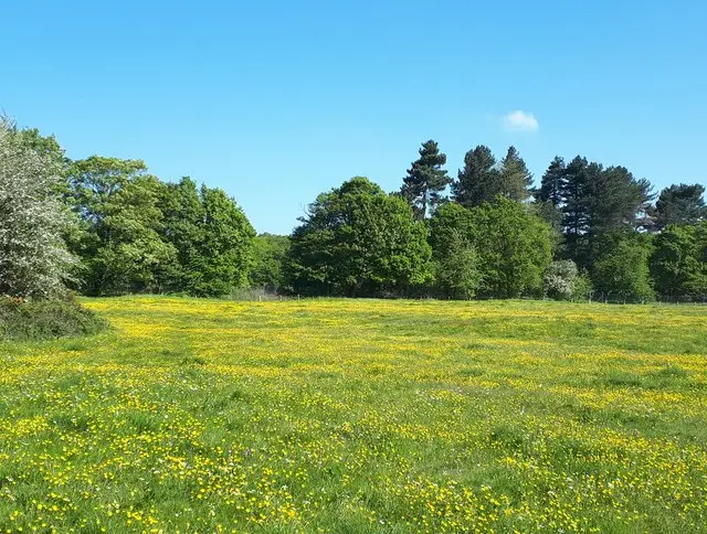
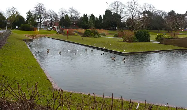
This walk is a gentle and enjoyable stroll close to the heart of Lichfield, combining a touch of woodland, open green space and a wander around the attractive lake in Beacon Park.
With over 70 acres of parkland, gardens and plenty of facilities to enjoy, this walk is perfect for a relaxed outing, just take care on the short road sections and crossings along the way.
Download the Staffordshire Walks App to follow this route with real-time GPS navigation.


At a glance
The walk
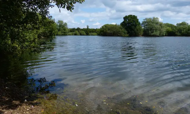
This simple leisurely walk takes you through a short residential area before strolling you through sloppy wood and then the lovely Pipe Green. After this, you'll then head back to the pretty lake in Beacon Park. The park itself is set in more than 70 acres with lovely gardens and is close to the centre of Lichfield.
The park offers a range of other activities including a children's play area, crazy golf and a lot more. It also has a cafe/bistro for refreshments but please check for opening times.
Beacon Park is steeped in history and information boards around the site give you a glimpse into the area's historical past.
Please note that there is a small amount of walking along a quiet lane on the route, and you also need to cross a busy road twice, so please be careful at these points.
Based on 2 user ratings
An outstanding walk
Dog heaven
Generally well maintained
Possible with care
Very limited access
Some facilities
Quite good
Spot on
Real feedback from people who have completed this walk using the Staffordshire Walks app.
First-hand experiences
First time i have walked this walk and used the app. Really enjoyable.
Very lovely route, but just bare in mind that you have to cross a VERY busy road at one section.
Comments from walkers who have completed the Beacon Park walk.
Navigate the walks
The easiest way to follow this route is with the Staffordshire Walks app. Choose the walk and follow the pointer showing your live position on the route map, so you can see you're on the right path.
The app works without a phone signal, so you can keep following the route wherever the walk takes you.

Explore the area
 4.5 miles
 0.5-3.75 miles
 3 miles
 3.75 miles
 1.5 miles
 2.75-8.75 miles
2.75 miles
8.75 miles
2.75-8.75 miles
2.75 miles
8.75 miles
 1-2.25 miles
 1.5 miles
 1.25-5.25 miles
 5.25 miles
 1.25 miles
 1.25-2 miles
 1.75 miles
Explore the county
See where the walks start, explore the area and tap a pin to find a route for your next adventure.
Search Staffordshire walks