

Oxfordshire Walks

Glympton Walks and Route Maps

Glympton walk, Oxfordshire
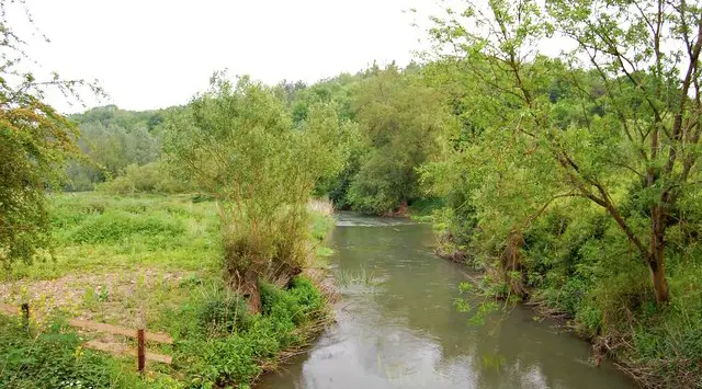
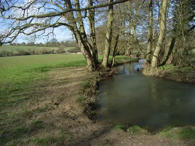
Glympton · Photo: Shaun Ferguson

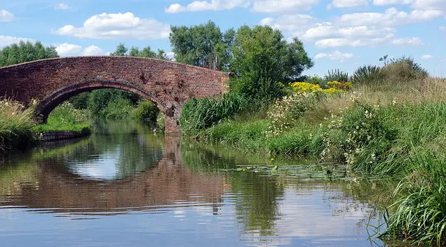
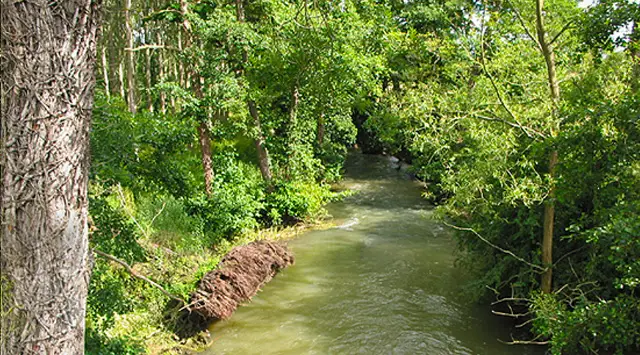
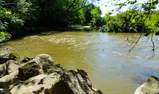
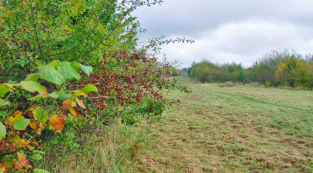
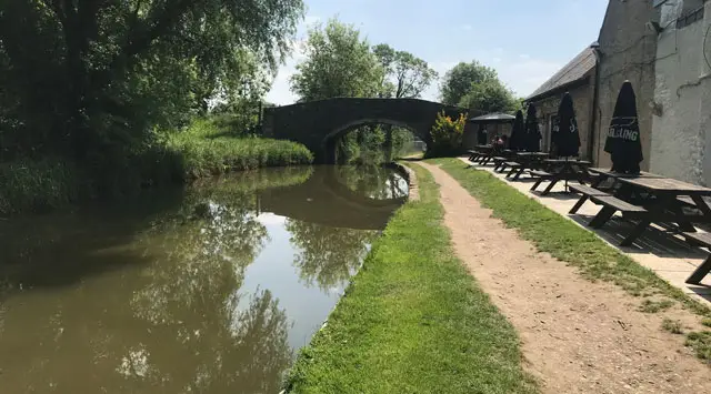
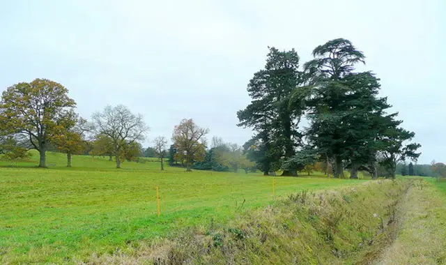
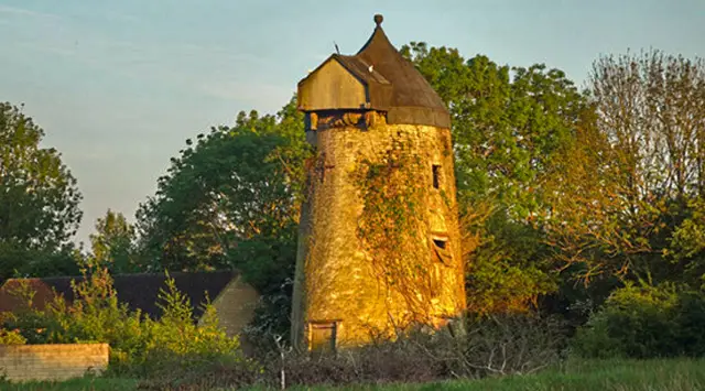
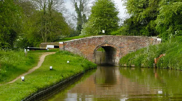
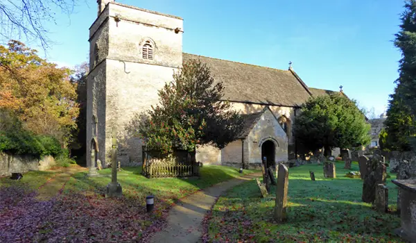
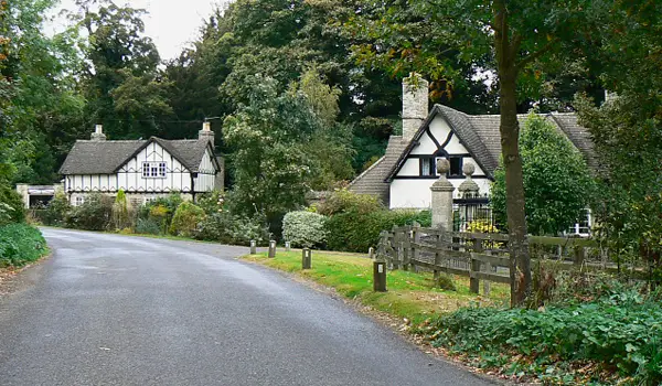
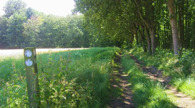
Set in the peaceful Oxfordshire countryside, these walks from Glympton offer a wonderful mix of parkland, woodland trails, and rolling open fields to explore.

Winding through the beautiful estates of Glympton and Kiddington, the walks are perfect for everything from a short family outing to a longer countryside adventure.

Download the Oxfordshire Walks App to follow these routes with real-time GPS navigation.

Download on the App Store Get it on Google Play

On a computer? Scan the QR code with your phone's camera to get the Oxfordshire Walks app.

Walk information

Glympton Walk 1

Walk distance
3½ miles
Time
2 hours
Route type
Circular

A short family-friendly circular route encompassing a walk through the two thousand acres estates of Glympton and Kiddington.

The route takes you across parkland, woodland trails and open rolling countryside. There is a village shop at Glympton for refreshments.

There is a bit of road walking in the loop around Kiddington Estate, so you could go in and out instead to avoid the road on that section if you wish.

Walk information

Glympton Walk 2

Walk distance
6¾ miles
Time
3.5 hours
Route type
Circular

This is a lovely long walk around the pretty countryside surrounding the village of Glymption.

As with the short route, you'll visit the public footpaths running through the Glympton Park and Kiddington Park estates, but then the walk extends on a longer adventure south of the parks, visiting woodlands and lovely open countryside on the way.

There are some busy road crossings and some sections of roadside walking on this longer route.

Walk information

Glympton Walk 3

Walk distance
10½ miles
Time
5.5 hours
Route type
Circular

This truly epic walk is an extension of the second route that also takes in the impressive Ditchley Park and some extra pretty countryside walking.

This is a very long walk, and there are no refreshments or pubs on the way around, so go prepared with plenty of food and water.

These Glympton walks start at coordinates: 51.89135, -1.3816

Navigate the walks

Oxfordshire Walks App

Follow the Glympton walks with GPS guidance

It's like sat-nav, but for footpaths.

Choose a walk and follow the pointer showing your live position on the route map, so you always know you're on the right path.

The app works without a phone signal, so you can keep following the route wherever the walk takes you.

Download the app

Download on the App Store Get it on Google Play

On a computer? Scan the QR code with your phone's camera to get the Oxfordshire Walks app.

Oxfordshire Walks app showing the walker's live position on a route map

Designed to be simple

  • Choose a walk and follow the pointer
  • See your live position on the route map
  • Works without a phone signal
  • Includes 250+ Oxfordshire walks
  • Free one-month trial
  • Available for iPhone and Android

Explore the area

Nearby walks

Explore the county

Oxfordshire walks map

Map data © OpenStreetMap contributors

Search Oxfordshire walks

See where the walks start, explore the area and tap a pin to find a route for your next adventure.

Search Oxfordshire walks
Expanded route map for Glympton Walk 1, a 3.5 mile circular walk in Oxfordshire