
At a glance
Bletchingdon Walk
- Distance
- 4.25 miles
- Estimated time
- 2 hours
- Route type
- Circular
- GPS app guided
- Yes
- Parking
- Village roadside parking 51.85616, -1.26940
- Characteristics
- Countryside
Oxfordshire Walks
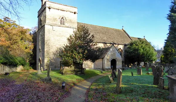
This walk around Bletchingdon in Oxfordshire is a gentle countryside route linking two charming villages and passing the elegant Bletchingdon Park.
Download the Oxfordshire Walks App to follow this route with real-time GPS navigation.


At a glance
The walk
This pleasant, easy walk travels through lovely countryside and visits two typical Oxfordshire villages. Firstly, Bletchingdon where you will pass Bletchingdon Park, a Grade II listed Palladian country house built in 1782 with the parish church sitting alongside.
Secondly Hampton Poyle, where you could stop for a drink and something to eat at The Bell at Hampton Poyle before heading back to your starting point.
There is a small amount of country road walking on this route.
Based on 5 user ratings
Mixed feedback from walkers
Limited for dogs
Reasonable paths
Not suitable for pushchairs
Very limited access
No facilities
Take a packed lunch
Accurate
Real feedback from people who have completed this walk using the Oxfordshire Walks app.
First-hand experiences
Lovely walk done in January, a bit muddy but to be expected in Winter, stiles are only in the last third if going clockwise there is a road if you cannot do
Some nice views and 2 pretty churches. But also a nasty stretch of road walking and many stiles which could be tough for those less mobile
Please note : route has challenging stiles if you have large dogs!! They will be unable to go through!!
Comments from walkers who have completed the Bletchingdon walk.
Navigate the walks
The easiest way to follow this route is with the Oxfordshire Walks app. Choose the walk and follow the pointer showing your live position on the route map, so you can see you're on the right path.
The app works without a phone signal, so you can keep following the route wherever the walk takes you.

Explore the area
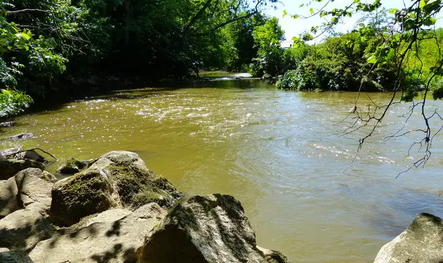 0.5-6.75 miles
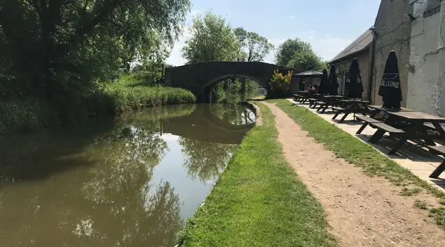 1.5-4.25 miles
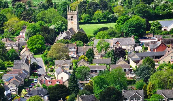 10.75 miles
 6-6.5 miles
 5.75-7.25 miles
 3.5-6 miles
 3.5-10.5 miles
 4.25 miles
 2-3.75 miles
 2.25-4.25 miles
 4.5 miles
 5.5 miles
 1-4.75 miles
 4.25 miles
 4 miles
Explore the county
See where the walks start, explore the area and tap a pin to find a route for your next adventure.
Search Oxfordshire walks