
Walk information
North Leigh Walk 1
- Walk distance
- 1 mile
- Time
- 30 mins
- Route type
- Circular
This is a nice and short family-friendly woodland walk around the pretty North Leigh Common.
Oxfordshire Walks
These walks start from North Leigh Common and offer a choice between a short family-friendly woodland stroll and a longer, more varied countryside adventure.
The area features peaceful woodland paths, open fields, and the historic setting of a Roman villa near East End.
Whether you stick to the shorter loop or head out on the extended route through nearby villages and farmland, these walks provide an easy way to enjoy the mix of nature and history around North Leigh.
Download the Oxfordshire Walks App to follow these routes with real-time GPS navigation.


Walk information
This is a nice and short family-friendly woodland walk around the pretty North Leigh Common.
Walk information
This is a longer and more varied adventure from the North Leigh common car park.
The walk takes in the woodland of the North Leigh Common of course, but then heads north and visits the village of East End with a trip to a fantastic roman villa before then taking you through open countryside to the village of North Leigh itself.
Based on 8 user ratings
An outstanding walk
Real feedback from people who have completed this walk using the Oxfordshire Walks app.
First-hand experiences
Lovely varied walk and the dog enjoyed it too!
Really nice walk with lots of animals and nice views
Such a stunning walk!
Wondeful views!
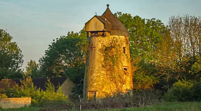
Lovely walk in the countryside with a Roman villa and an old windmill to view
A lovely walk through some open fields, a little woodland and a chance to see the remains of the Roman villa. All the paths were still dry and it was a great walk for my dog who was mostly offleash except for a little road walking and a field of sheep. If you walk this route anti-clockwise, be aware that you need to go through the churchyard of St. Mary’s as you reach North Leigh to pick up the path through a gate to the left of the church as the footpath has been divurged.
Navigate the walks
It's like sat-nav, but for footpaths.
Choose a walk and follow the pointer showing your live position on the route map, so you always know you're on the right path.
The app works without a phone signal, so you can keep following the route wherever the walk takes you.

Explore the area
 5.5 miles
 2-9.75 miles
 3.75-6.75 miles
 4.25 miles
 6-6.5 miles
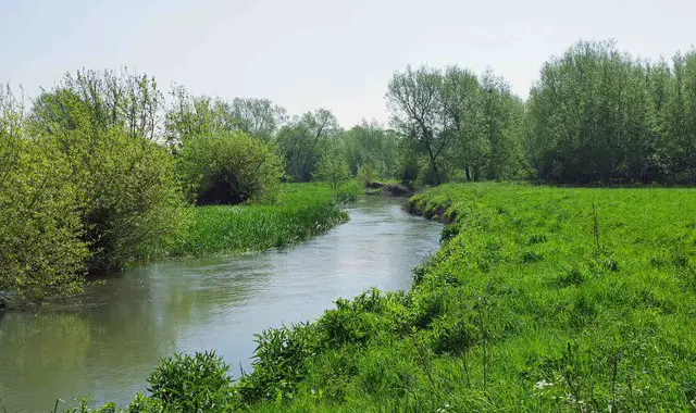 2.5 miles
 5 miles
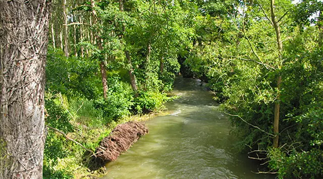 2.5-7.5 miles
 3.5 miles
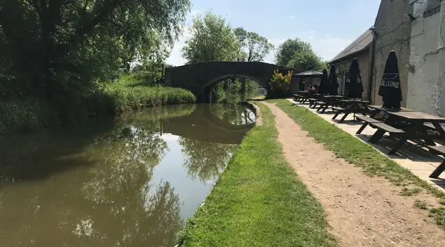 1.5-4.25 miles
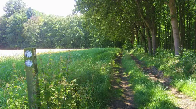 3.5-10.5 miles
 4 miles
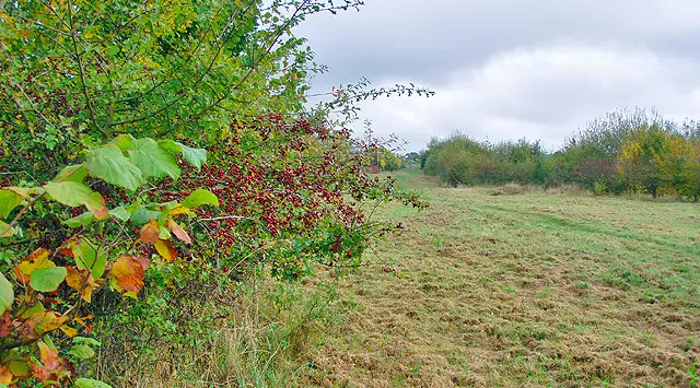 2.5-4.75 miles
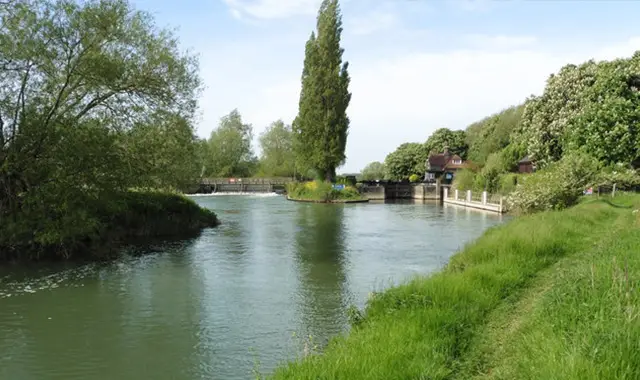 3.75-5.5 miles
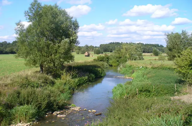 2.5-8.25 miles
Explore the county
See where the walks start, explore the area and tap a pin to find a route for your next adventure.
Search Oxfordshire walks