

Oxfordshire Walks

Heyford Walks & Route Maps

Heyford walk, Oxfordshire
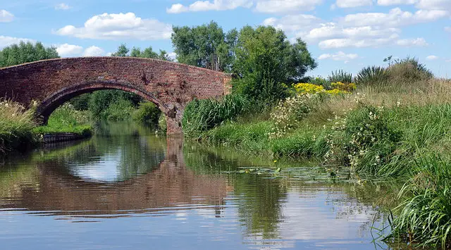
Heyford · Photo: Neil Geering

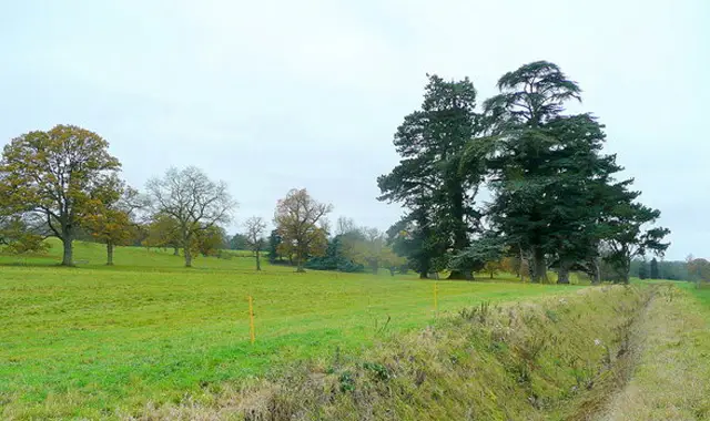
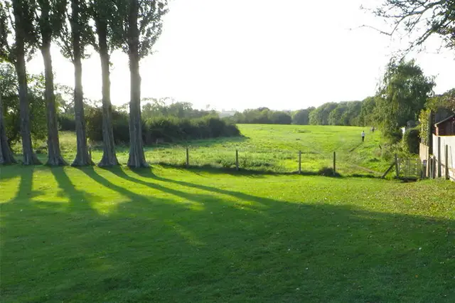
These walks explore the charming Heyford villages in Oxfordshire, linking Upper and Lower Heyford with peaceful countryside paths and waterside sections.

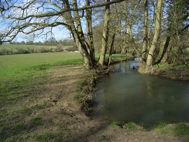
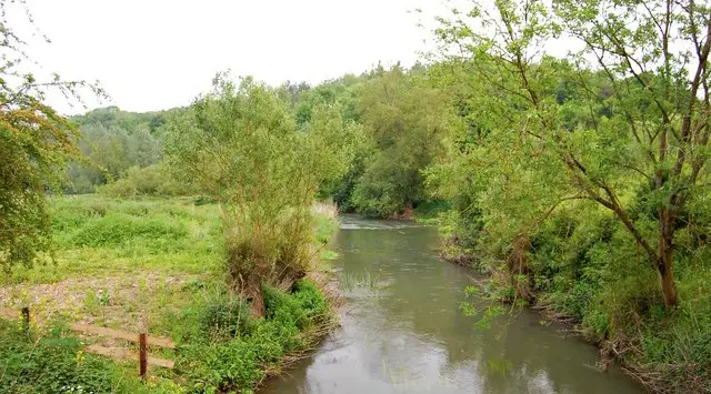
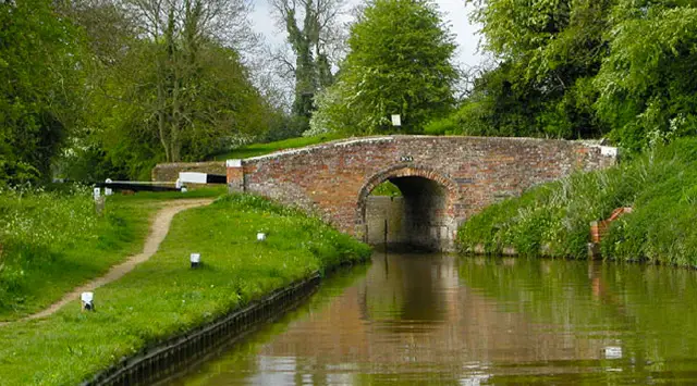
You’ll enjoy long stretches alongside the River Cherwell and the Oxford Canal, as well as passing through farmland, woodland, and nearby villages including Steeple Aston on the longer route.

Whether you choose the shorter village circuit or the extended walk with wider valley views, these walks offer a relaxed mix of scenery, waterway walking, and traditional village stops along the way.

Download the Oxfordshire Walks App to follow these routes with real-time GPS navigation.

Download on the App Store Get it on Google Play

Walk information

Heyford Walk 1

Walk distance
3½ miles
Time
2 hours
Route type
Circular

This is a lovely circular walk between the villages of Upper and Lower Heyford.

The star of the show is the long stretch of walking alongside both sides of the River Cherwell and Oxford Canal, but the walk also visits both of the pretty villages which each have their own church and pub to visit.

Heyford Walk 1 3.8 Ratings and reviews 4 ratings · 2 reviews

Based on 4 user ratings

Community feedback

Overall rating3.8

A well-liked walk

Dog friendly3.0 / 5
Path condition3.8 / 5
Buggy friendly1.3 / 5
Wheelchair friendly1.0 / 5
Toilet facilities1.3 / 5
Pub or café2.0 / 5
Route accuracy4.8 / 5
ClimbingGentle slopes
LivestockRarely any livestock
StilesA stile or two
Mud levelMay be muddy after wet weather

Real feedback from people who have completed this walk using the Oxfordshire Walks app.

First-hand experiences

User reviews

Walker review

A lovely walk. We did it in January and the path by the canal was quite boggy so either good walking boots or wellies required. Had a lovely meal and great service in The Bell Inn half way around the route in Lower Heyford.

Walker review

Easy, flat route with nice mix of fields, canal and picturesque villages

Walk information

Heyford Walk 2

Walk distance
6 miles
Time
3 hours
Route type
Circular

This longer route is an extended version of the walk and it visits the Heyford villages as well as the village of Steeple Aston on the edge of the Cherwell Valley.

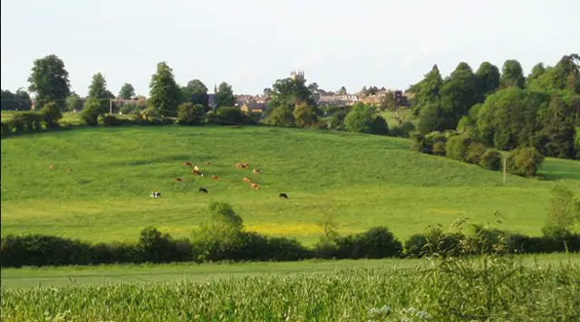
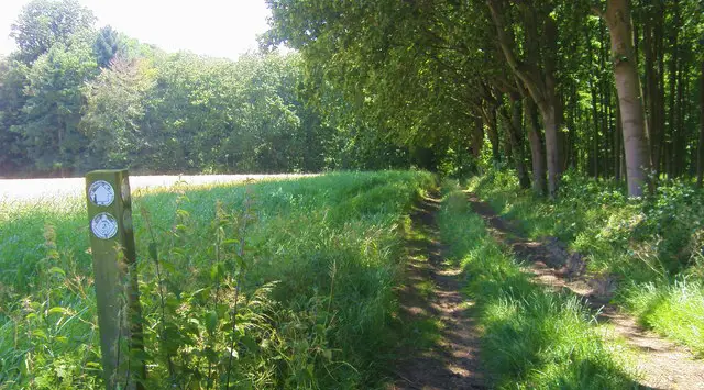
You can expect scenic views across fields, farmland and woodland and a stretch of walking alongside the River Cherwell and Oxford Canal.

Heyford Walk 2 3.5 Ratings and reviews 4 ratings · 2 reviews

Based on 4 user ratings

Community feedback

Overall rating3.5

A well-liked walk

Dog friendly2.0 / 5
Path condition3.0 / 5
Buggy friendly0.8 / 5
Wheelchair friendly0.8 / 5
Toilet facilities0.5 / 5
Pub or café3.5 / 5
Route accuracy4.3 / 5
ClimbingSome climbing
LivestockRarely any livestock
StilesA stile or two
Mud levelMay be muddy after wet weather

Real feedback from people who have completed this walk using the Oxfordshire Walks app.

First-hand experiences

User reviews

Walker review

I was expecting more of the route to be beside the river. If I was doing it again I’d probably drop onto the tow path for the last section. Would add a bit of variety.

Walker review

It would be really helpful to create a function in the app to log the walks done or those that I wish to do. This route is very nice in parts, but others are just farms and some of the paths are both invisible and unmarked. Very poorly maintained compared to other walks. Got lost at one point in a field full of cows. Not great. But, there are great sections and The Bell pub has an amazing beer garden. Enjoy!

Navigate the walks

Oxfordshire Walks App

Follow the Heyford walks with GPS guidance

It's like sat-nav, but for footpaths.

Choose a walk and follow the pointer showing your live position on the route map, so you always know you're on the right path.

The app works without a phone signal, so you can keep following the route wherever the walk takes you.

Download the app

Download on the App Store Get it on Google Play
Oxfordshire Walks app showing the walker's live position on a route map

Designed to be simple

  • Choose a walk and follow the pointer
  • See your live position on the route map
  • Works without a phone signal
  • Includes 250+ Oxfordshire walks
  • Free one-month trial
  • Available for iPhone and Android

Explore the area

Nearby walks

Explore the county

Oxfordshire walks map

Map data © OpenStreetMap contributors

Search Oxfordshire walks

See where the walks start, explore the area and tap a pin to find a route for your next adventure.

Search Oxfordshire walks
Expanded route map for Heyford Walk 1, a 3.5 mile circular walk in Oxfordshire