
At a glance
Steeple Aston Walk
- Distance
- 4.25 miles
- Estimated time
- 2 hours
- Route type
- Circular
- GPS app guided
- Yes
- Parking
- Free parking at start 51.93239, -1.30847
- Characteristics
- Water, Countryside
Oxfordshire Walks
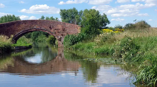
This walk explores the pretty village of Steeple Aston and the surrounding Oxfordshire countryside, combining village paths with open rural scenery.
You’ll also enjoy peaceful stretches beside the River Cherwell and Oxford Canal, with a welcoming pub in the village if you need a break along the way.
Download the Oxfordshire Walks App to follow this route with real-time GPS navigation.


At a glance
The walk
This is a lovely varied walk in the countryside that you'll find around the pretty village of Steeple Aston.
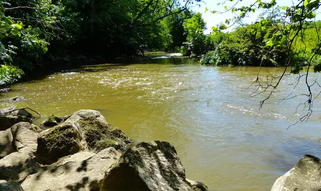
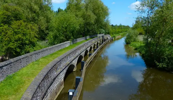
You'll stroll around the village itself, visiting the quaint local pub if you need refreshments, and then venture out into the countryside to enjoy plenty of fresh air and a delightful stretch of walking alongside the River Cherwell and Oxford Canal.
Based on 3 user ratings
An outstanding walk
Fine with dogs
Generally well maintained
Not suitable for pushchairs
Not wheelchair accessible
No facilities
Take a packed lunch
Spot on
Real feedback from people who have completed this walk using the Oxfordshire Walks app.
First-hand experiences
Great walk, some very soggy muddy bits near the river, dog loved it!
Comments from walkers who have completed the Steeple Aston walk.
Navigate the walks
The easiest way to follow this route is with the Oxfordshire Walks app. Choose the walk and follow the pointer showing your live position on the route map, so you can see you're on the right path.
The app works without a phone signal, so you can keep following the route wherever the walk takes you.

Explore the area
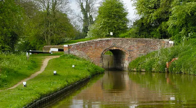 3.5-6 miles
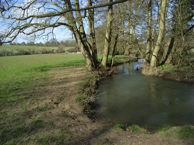 2.25-4.25 miles
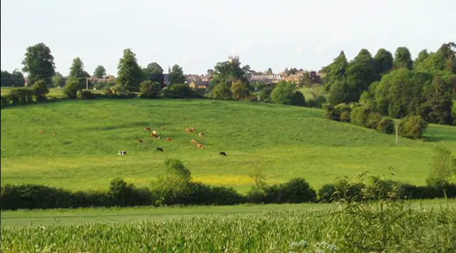 1-6.25 miles
 0.5-6.75 miles
 3.5-10.5 miles
 2.5-8.75 miles
 4.25 miles
 2-9.75 miles
 6-6.5 miles
 4.5 miles
 1.5-4.25 miles
 5.5 miles
 2.25-8 miles
 10.75 miles
 3 miles
Explore the county
See where the walks start, explore the area and tap a pin to find a route for your next adventure.
Search Oxfordshire walks