

Hertfordshire Walks

Highfield Park Walks & Route Maps

Highfield Park walk, Hertfordshire
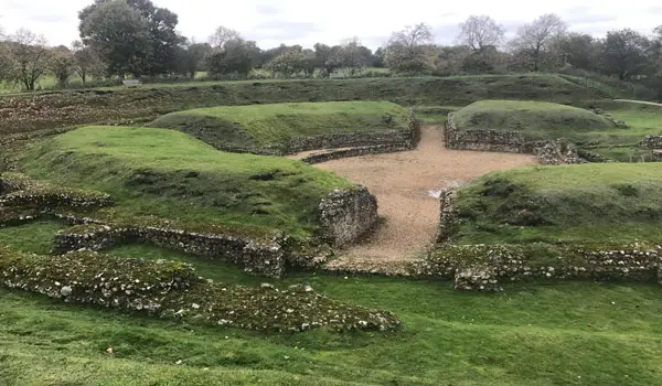
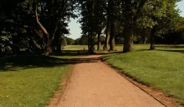
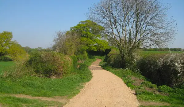
Highfield Park · Photo: Nigel Cox

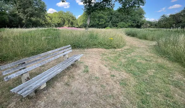
Set around the green spaces and woodland paths of Highfield Park on the outskirts of St Albans, these walks offer an easy and accessible way to enjoy some local nature close to town.

From a short, fully surfaced circuit through Winchfield Wood and the Millennium Maze to a longer option that continues along the Alban Way and out to Tyttenhanger village, these walks provide a simple but varied outing with a mix of parkland, woodland and light countryside.

Download the Hertfordshire Walks App to follow these routes with real-time GPS navigation.

Download on the App Store Get it on Google Play

Walk information

Highfield Park Walk 1

Walk distance
1 mile
Time
30 mins
Route type
Circular

This is a nice short circular stroll around the greenspace and woodlands of Highfield Park that surrounds a residential area on the outskirts of St Albans.

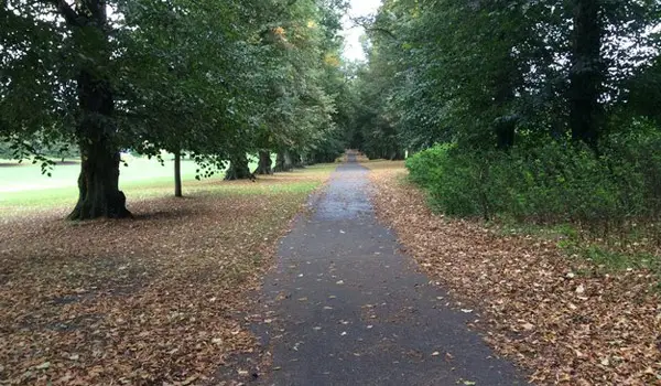
You'll visit Winchfield Wood and a Millenium Maze on the way around the walk, and the route is entirely on tarmac, so it's perfect for family bike rides, buggies and wheelchairs.


Highfield Park Walk 1 3.8 Ratings and reviews 6 ratings · 2 reviews

Based on 6 user ratings

Community feedback

Overall rating3.8

A well-liked walk

Dog friendly4.5 / 5
Path condition4.8 / 5
Buggy friendly4.7 / 5
Wheelchair friendly4.7 / 5
Toilet facilities1.2 / 5
Pub or café1.3 / 5
Route accuracy5.0 / 5
ClimbingGentle slopes
LivestockNo livestock
StilesA stile or two
Mud levelMay be muddy after wet weather

Real feedback from people who have completed this walk using the Hertfordshire Walks app.

First-hand experiences

User reviews

Walker review

Lovely walk. Car park only open Monday to Friday but street parking available.

Walker review

This is my local dog walk, so I am quite partial. I walk this route several times a week and it a perfect, short dog walk. Lots of friendly walkers, and easy paths through Highfield. For coffee afterwards, head to Fade to Black at Trestle Arts Base, where your dog can join you!

Walk information

Highfield Park Walk 2

Walk distance
3¾ miles
Time
2 hours
Route type
Circular

If you have a bit more time and want to stretch your legs a bit more, this is a longer walk option from the Highfield Park car park.

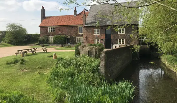
It still obviously explores the Highfield Park as with the first route, but it also heads out of the park, walking along a stretch of the Alban Way for a while before visiting the pretty village of Tyttenhanger where you'll find a pub towards the end of the route.

Refreshments:

The Plough, Tyttenhanger

Highfield Park Walk 2 3.9 Ratings and reviews 9 ratings · 2 reviews

Based on 9 user ratings

Community feedback

Overall rating3.9

A well-liked walk

Dog friendly4.1 / 5
Path condition3.4 / 5
Buggy friendly2.1 / 5
Wheelchair friendly1.3 / 5
Toilet facilities1.7 / 5
Pub or café3.1 / 5
Route accuracy4.0 / 5
ClimbingGentle slopes
LivestockNo livestock
StilesA stile or two
Mud levelMay be muddy after wet weather

Real feedback from people who have completed this walk using the Hertfordshire Walks app.

First-hand experiences

User reviews

Walker review

Enjoyable walk. Slightly overgrown at times. Other than pub towards the end no toilet facilities.

Walker review

A lovely walk, park on the street if the car park is closed, easy to follow with a variety of park, fields, woodland and water for a few splashes, I took a packed lunch and ate it on a bench just before the pub, no wow factors but a lovely local walk with some history boards along the way.

Navigate the walks

Hertfordshire Walks App

Follow the Highfield Park walks with GPS guidance

It's like sat-nav, but for footpaths.

Choose a walk and follow the pointer showing your live position on the route map, so you always know you're on the right path.

The app works without a phone signal, so you can keep following the route wherever the walk takes you.

Download the app

Download on the App Store Get it on Google Play
Hertfordshire Walks app showing the walker's live position on a route map

Designed to be simple

  • Choose a walk and follow the pointer
  • See your live position on the route map
  • Works without a phone signal
  • Includes 400 Hertfordshire walks
  • Free one-month trial
  • Available for iPhone and Android

Explore the area

Nearby walks

Explore the county

Hertfordshire walks map

Map data © OpenStreetMap contributors

Search Hertfordshire walks

See where the walks start, explore the area and tap a pin to find a route for your next adventure.

Search Hertfordshire walks
Expanded route map for Highfield Park Walk 1, a 1 mile circular walk in Hertfordshire