

Derbyshire Walks

Youlgrave Walks & Route Maps

Youlgrave walk, Derbyshire
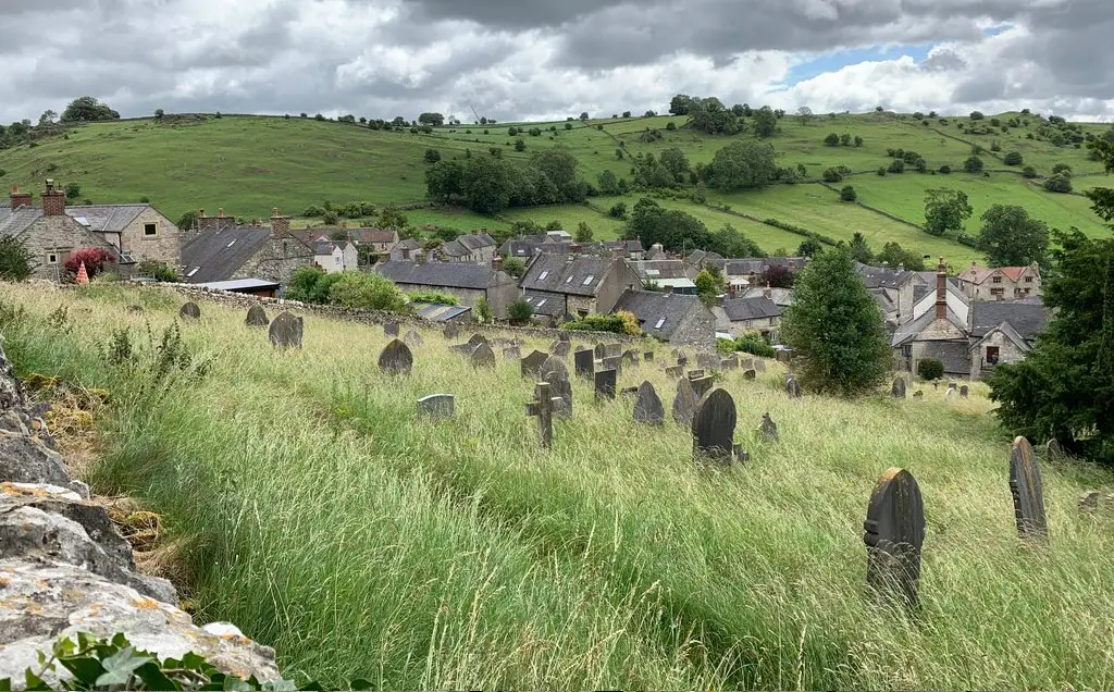
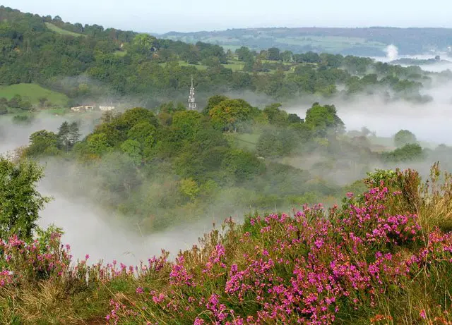
Youlgrave · Photo: Philip Cornwall

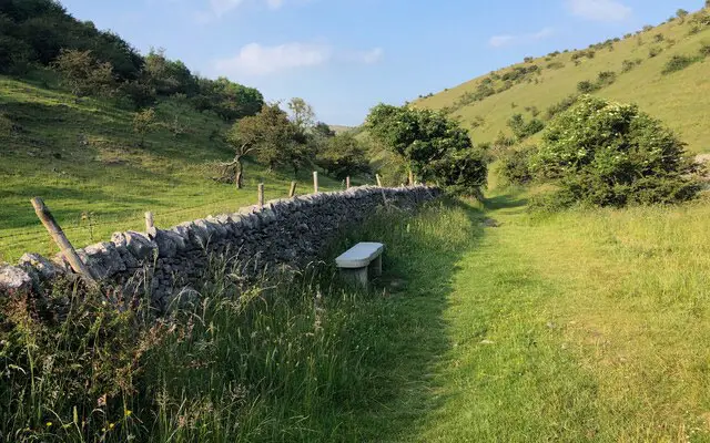
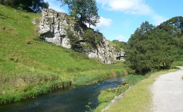
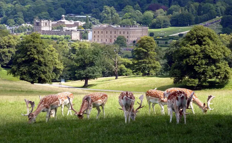
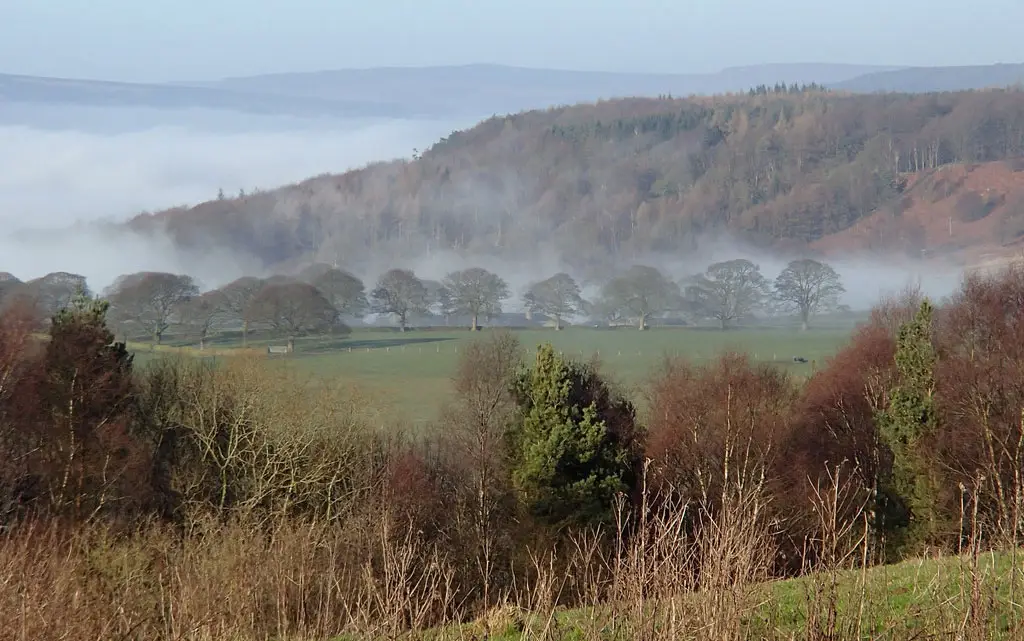
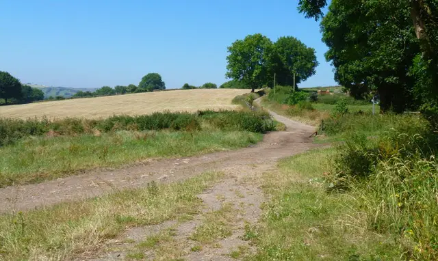
These walks explore the countryside around Youlgreave in the White Peak, where limestone hills, wooded slopes and river valleys come together in a varied and scenic landscape.

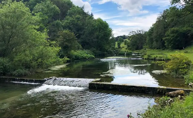
Both routes pass Moatlow Knob and follow the River Bradford through its valley setting, while the longer walk extends further out through Alport and along the River Lathkill before looping back through open countryside to return via the valley and woodland paths.

Download the Derbyshire Walks App to follow these routes with real-time GPS navigation.

Download on the App Store Get it on Google Play

Walk information

Youlgrave Walk 1

Walk distance
2¾ miles
Time
1.5 hours
Route type
Circular

This short walk explores the dramatic rolling woodlands, valleys and limestone countryside around Youlgreave in the heart of the White Peak.

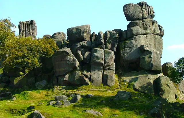
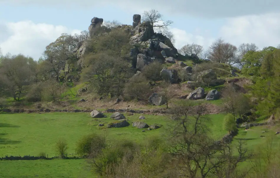
The walk passes Moatlow Knob, a rounded hill thought to mark the site of an ancient burial mound, before skirting the small woodland of Moatlow Wood.

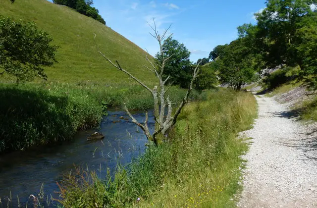
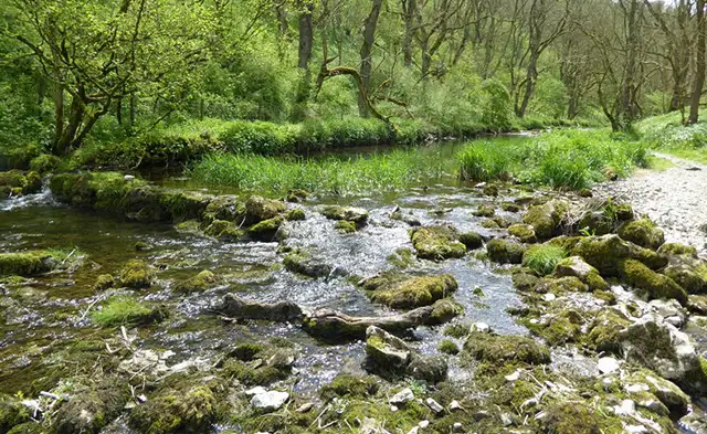
The route also enjoys the clear waters of the River Bradford as it winds through the gorgeous valley toward Youlgreave.

Finally, there is the option of a short diversion to the pub about halfway along the walk if a break is calling.

Youlgrave Walk 1 No ratings yet Be the first - rate this walk in the Derbyshire Walks App

Walk information

Youlgrave Walk 2

Walk distance
6¾ miles
Time
3.5 hours
Route type
Circular

This longer walk basically enjoys everything from the first route, but then adds a long and energetic loop of glorious countryside walking that makes this a real epic adventure.

As with the first route, this one passes Moatlow Knob and enjoys the clear waters of the River Bradford as it winds through the pretty valley.

Before that however, you'll enjoy a long countryside walk to the small hamlet of Alport and then another lovely long ramble alongside the picturesque River Lathkill.

You'll then head back south through peaceful open countryside until you reach the valley and enjoy the woodland and riverside walking back to the start.

With some steep climbs and a short stretch of road walking, this route offers a more energetic outing, with the option to pause at The Bull’s Head towards the end of the walk for refreshments.

Youlgrave Walk 2 4.5 Ratings and reviews 2 ratings · 1 review

Based on 2 user ratings

Community feedback

Overall rating4.5

An outstanding walk

Dog friendly2.5 / 5
Path condition3.5 / 5
Buggy friendly1.0 / 5
Wheelchair friendly0.5 / 5
Toilet facilities3.0 / 5
Pub or café5.0 / 5
Route accuracy5.0 / 5
ClimbingSome climbing
LivestockSome livestock
StilesA few stiles on route
Mud levelMostly dry

Real feedback from people who have completed this walk using the Derbyshire Walks app.

First-hand experiences

User reviews

Walker review

Recommend stop at The Lathkil Hotel for a coffee etc

Navigate the walks

Derbyshire Walks App

Follow the Youlgrave walks with GPS guidance

It's like sat-nav, but for footpaths.

Choose a walk and follow the pointer showing your live position on the route map, so you always know you're on the right path.

The app works without a phone signal, so you can keep following the route wherever the walk takes you.

Download the app

Download on the App Store Get it on Google Play
Derbyshire Walks app showing the walker's live position on a route map

Designed to be simple

  • Choose a walk and follow the pointer
  • See your live position on the route map
  • Works without a phone signal
  • Includes 250 Derbyshire walks
  • Free one-month trial
  • Available for iPhone and Android

Explore the area

Nearby walks

Explore the county

Derbyshire walks map

Map data © OpenStreetMap contributors

Search Derbyshire walks

See where the walks start, explore the area and tap a pin to find a route for your next adventure.

Search Derbyshire walks
Expanded route map for Youlgrave Walk 1, a 2.75 mile circular walk in Derbyshire