

Derbyshire Walks

Deep Dale Walks & Route Maps

Deep Dale walk, Derbyshire
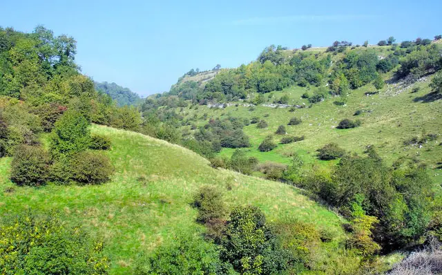
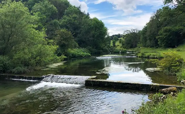
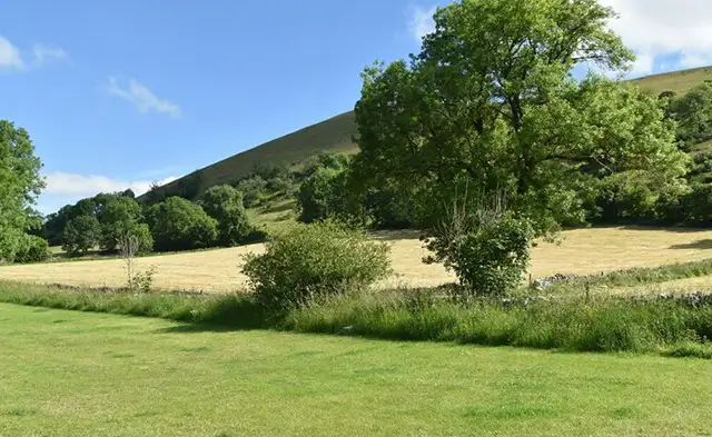
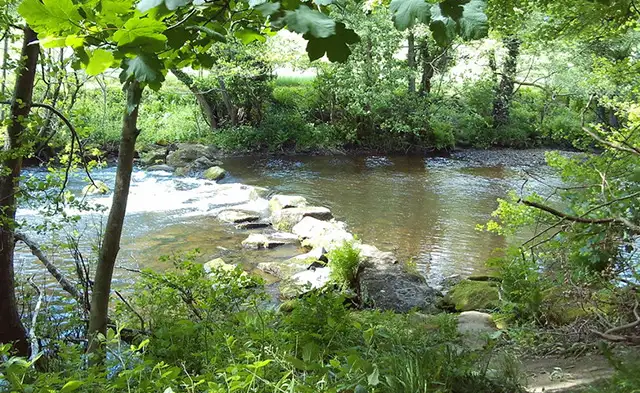
Deep Dale · Photo: Philip Cornwall

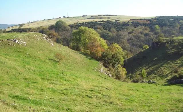
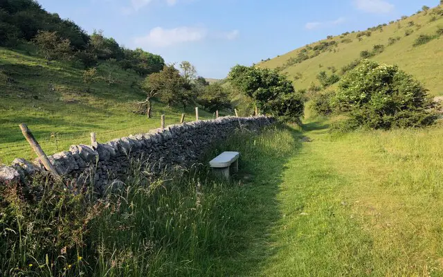
These walks explore the beautiful limestone scenery of Deep Dale Nature Reserve, with gradual climbs onto open plateaus rich in wildflowers during spring and summer.

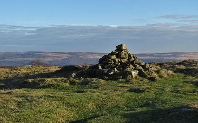
All three routes begin by winding up through the dale before reaching wide views across the surrounding countryside and the welcoming village of Sheldon.

The longer of the walks add highlights such as a peaceful stretch through Great Shacklow Wood, views along the Wye Valley, and a visit to the historic Magpie Mine.

With steady climbs, a few steeper descents and potentially slippery woodland paths in wet weather, these walks offer a rewarding mix of history, scenery and classic White Peak landscapes.

Download the Derbyshire Walks App to follow these routes with real-time GPS navigation.

Download on the App Store Get it on Google Play

Walk information

Deep Dale Walk 1

Walk distance
3¾ miles
Time
2.5 hours
Route type
Circular

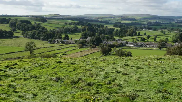
This is the shortest of 3 lovely walks that travels firstly through the Deep Dale nature reserve with a slow gradual climb up onto a limestone plateau. This beautiful area will give you wild flowers in Spring and Summer and attractive open views.

The walk takes you on to the small village of Sheldon where you can stop at The Cock and Pullet country pub for refreshments before continuing your walk enjoying the views as you go.

The final part of the walk takes you down a steep descent through the edge of Great Shacklow Woods so care will be needed at this point especially in wet weather.

Deep Dale Walk 1 No ratings yet Be the first - rate this walk in the Derbyshire Walks App

Walk information

Deep Dale Walk 2

Walk distance
4¾ miles
Time
3 hours
Route type
Circular

The first part of this walk follows the same route as Walk 1, up through the Deep Dale Nature Reserve and onto a limestone plateau . From here the walk continues to the small village of Sheldon where you can stop at The Cock and Pullet country pub for refreshments.

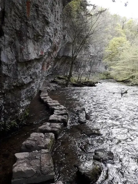
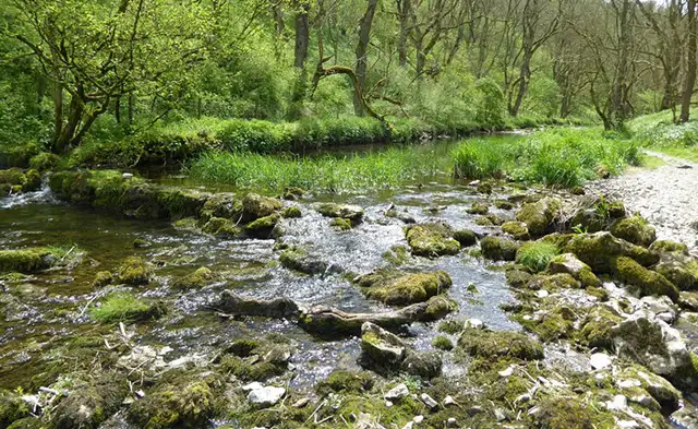
The final part of your walk travels through the peaceful Great Shacklow Wood and along the very beautiful Wye Valley.

There is a slow climb at the start of the walk and a short steeper climb through the woods. There are also a couple of steep descents in the woods that can be slippery in wet weather so take care.

Deep Dale Walk 2 4.0 Ratings and reviews 1 rating · 1 review

Based on 1 user rating

Community feedback

Overall rating4.0

A very popular walk

Dog friendly4.0 / 5
Path condition3.0 / 5
Buggy friendly1.0 / 5
Wheelchair friendly1.0 / 5
Toilet facilities3.0 / 5
Pub or café3.0 / 5
Route accuracy4.0 / 5
ClimbingPlenty of climbing
LivestockSome livestock
StilesA few stiles on route
Mud levelBoots recommended

Real feedback from people who have completed this walk using the Derbyshire Walks app.

First-hand experiences

User reviews

Walker review

Lovely walk. Encountered cows but not problematic. Part of the route very wet underfoot and it was August. Suggested timing were a bit out - it took me 3 hrs, not 2, and I did not take any rest breaks, other than to drink water I was carrying.

Walk information

Deep Dale Walk 3

Walk distance
4¾ miles
Time
3 hours
Route type
Circular

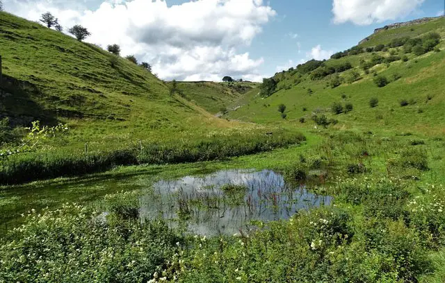
This engaging walk takes you up through the Deep Dale Nature Reserve and a slow gradual climb up onto a limestone plateau. This beautiful area was once used for lead mining and the walk takes you past ‘Magpie Mine', one of the finest preserved mines that we have in England, now a Scheduled Ancient Monument.

The walk takes you on to the small village of Sheldon where you can stop at The Cock and Pullet country pub for refreshments before continuing your walk enjoying the views as you go.

The final part of the walk takes you down a steep descent through the edge of Great Shacklow Woods so care will be needed at this point especially in wet weather.
Deep Dale Walk 3 4.0 Ratings and reviews 3 ratings

Based on 3 user ratings

Community feedback

Overall rating4.0

A very popular walk

Dog friendly2.7 / 5
Path condition4.0 / 5
Buggy friendly0.7 / 5
Wheelchair friendly0.7 / 5
Toilet facilities2.3 / 5
Pub or café3.3 / 5
Route accuracy4.3 / 5
ClimbingPlenty of climbing
LivestockSome livestock
StilesA few stiles on route
Mud levelBoots recommended

Real feedback from people who have completed this walk using the Derbyshire Walks app.

Navigate the walks

Derbyshire Walks App

Follow the Deep Dale walks with GPS guidance

It's like sat-nav, but for footpaths.

Choose a walk and follow the pointer showing your live position on the route map, so you always know you're on the right path.

The app works without a phone signal, so you can keep following the route wherever the walk takes you.

Download the app

Download on the App Store Get it on Google Play
Derbyshire Walks app showing the walker's live position on a route map

Designed to be simple

  • Choose a walk and follow the pointer
  • See your live position on the route map
  • Works without a phone signal
  • Includes 250 Derbyshire walks
  • Free one-month trial
  • Available for iPhone and Android

Explore the area

Nearby walks

Explore the county

Derbyshire walks map

Map data © OpenStreetMap contributors

Search Derbyshire walks

See where the walks start, explore the area and tap a pin to find a route for your next adventure.

Search Derbyshire walks
Expanded route map for Deep Dale Walk 1, a 3.75 mile circular walk in Derbyshire