

Derbyshire Walks

Top 5 Kinder Reservoir and Snake Pass Walks

Kinder Reservoir walk, Derbyshire
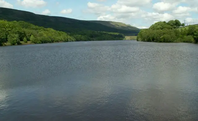
Kinder Reservoir · Photo: Dave Dunford

Here are our top 5 Kinder Reservoir walks.

Download the Derbyshire Walks App to follow these routes with real-time GPS navigation.

Download on the App Store Get it on Google Play

On a computer? Scan the QR code with your phone's camera to get the Derbyshire Walks app.

Kinder Reservoir walk 01

Kinder Reservoir Snake Pass walk

Walk distance
4 miles
Time
2 hours
Route type
Circular

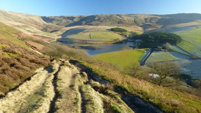
This walk starts near the lovely ancient village of Hayfield which lies in the valley of the River Sett, at the foot of Kinder Scout.

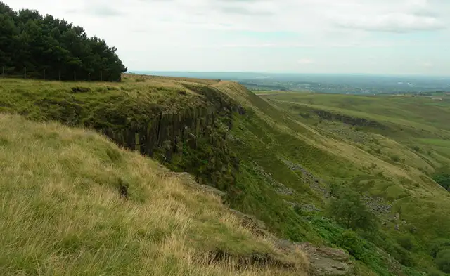
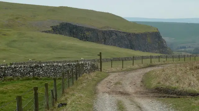
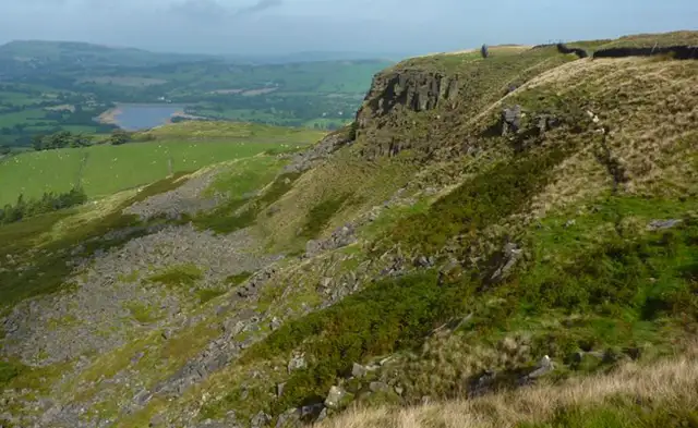
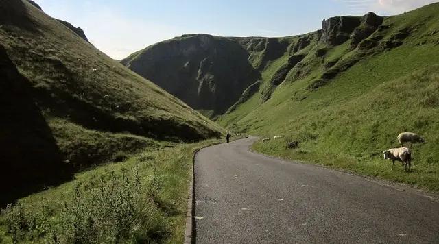
There is quite a steep climb at the beginning of the walk as you travel up to the well known Snake Pass and on to White Brow over purple heather moors. The views from here overlooking Kinder Reservoir are lovely.

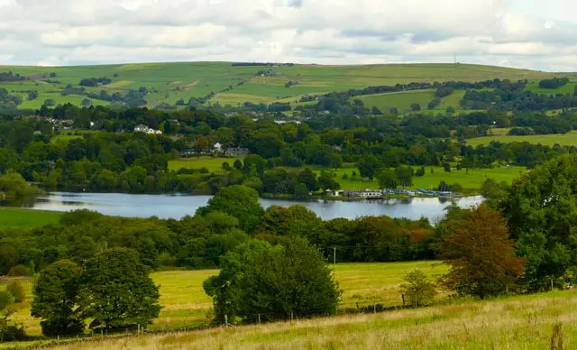
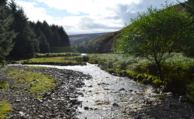
After your energetic climb, it's then downhill practically all the way. Firstly theres a lovely stroll beside the reservoir followed by paths on the edge of woodlands and finally onto the scenic Kinder Road running besides the river. (There is no pavement so care will be needed).

For refreshments, you will pass the Sportsman Inn on Kinder Road which welcomes walkers and has a nice outside seating area or there are Pubs and Cafes in Hayfield itself.

Kinder Reservoir walk 02

Kinder Reservoir alternative walk

Walk distance
4¾ miles
Time
2.5 hours
Route type
Circular

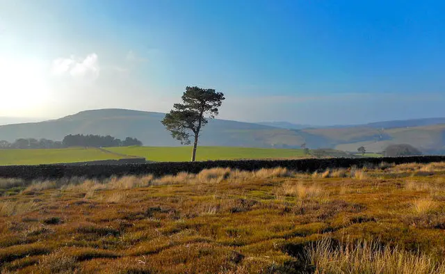
This walk is only slightly longer than Walk 1 but does have a bit more climbing. It also gives you the opportunity to get some lovely views of the reservoir from the other side.

The first part of the walk takes you along the scenic Kinder Road running besides the river. (There is no pavement so care will be needed). From here you climb up to the reservoir and walk along its banks. After this, you climb higher and travel over the moors around the reservoir.

The final part of the walk takes you along the edge of woodlands, through some pleasant countryside, visits the wonderful Hill Houses and then along a quiet country lane back to the start.

There are a number of streams and brooks to cross (stepping stones or a small jump) at various points of the walk, so please be careful when crossing these and be aware that it might not be suitable for some walkers.

For refreshments, there is the Sportsman Inn on Kinder Road towards Hayfield or there are Pubs and Cafes in Hayfield itself.
Kinder Reservoir walk 03

Kinder Reservoir and Snake Pass moors walk

Walk distance
5¼ miles
Time
2.5 hours
Route type
Circular

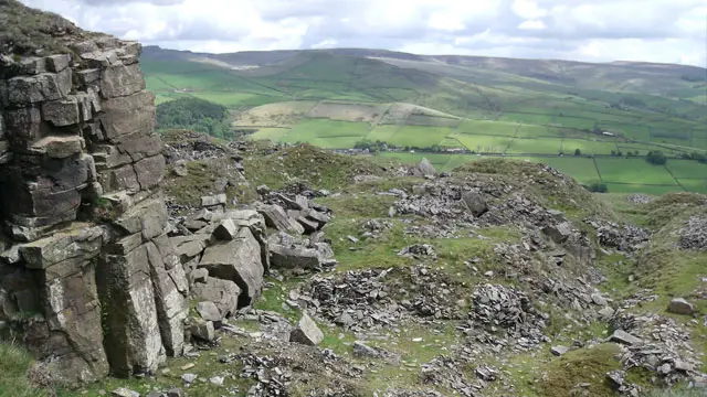
Starting near the village Hayfield, this beautiful walk climbs up to and along the well known Snake Path and on to purple heather moors overlooking Kinder Reservoir.

There are quite a few ups and downs but this gives you wonderful views to admire as you wander across the moors circling the reservoir. The final part of the walk takes you along the edge of woodlands and the scenic Kinder Road running besides the river. (There is no pavement so care will be needed).

For refreshments, there is the Sportsman Inn on Kinder Road which has a nice outside seating area or there are Pubs and Cafes in Hayfield itself.
Kinder Reservoir walk 04

Kinder Reservoir and Snake Pass challenging walk

Walk distance
7½ miles
Time
3.5 hours
Route type
Circular

WARNING: DO NOT ATTEMPT THIS WALK IN POOR WEATHER!

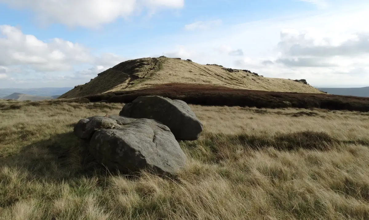
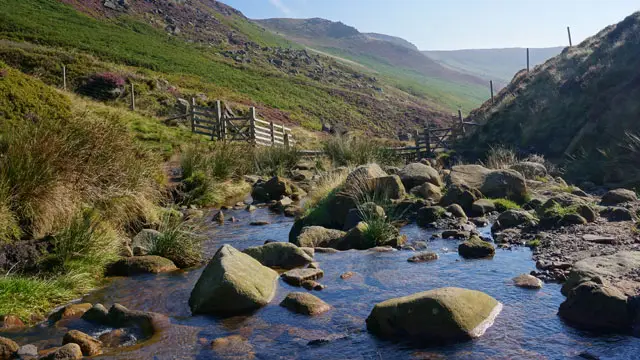
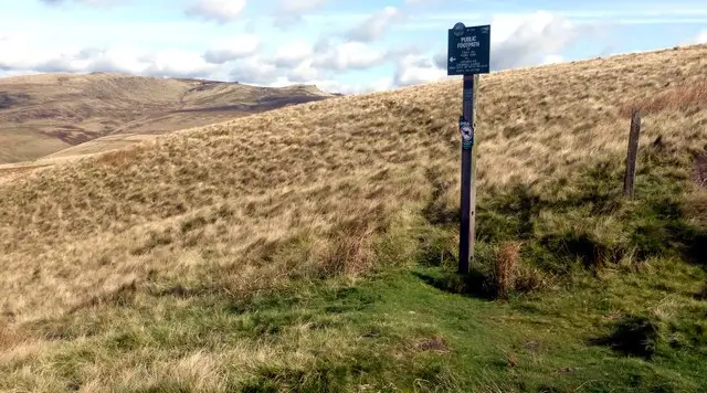
This is a long and challenging walk for experienced walkers which rewards with some spectacular scenery of purple heather moors, craggy rocks and a magnificent waterfall. It follows in the footsteps of a group of around 500 trespassers who in 1932 fought to secure access right to open country.

The walk starts at Bowden Bridge and travels up to White Brow alongside the reservoir until you reach Snake Path. From here you do a long, steep climb up William Clough where you join the Pennine Way onto the ridge to Sandy Heys. Phew, from here it is enjoyable, flat or downhill walking all the way!

As you walk along the plateau you can enjoy spectacular views as far as Yorkshire, Cheshire and even Wales. Take time to enjoy the amazing rock formations and waterfall at Kinder Downfall which on sunny days you can see rainbows dancing.

The walk continues along the Pennine Way before it splits off but continues over spectacular moorland and then through pleasant fields back to Heyfield.

There are Pubs and Cafes in Hayfield where at the end of your amazing adventure you can enjoy delicious food and drinks.

This long walk which climbs almost 500 metres is challenging and only for experienced walkers with appropriate footwear and clothing (there is some scrambling, streams and fords to cross and steep descents).

Kinder Reservoir walk 05

Kinder Reservoir epic walk

Walk distance
8¾ miles
Time
4.5 hours
Route type
Circular

WARNING: DO NOT ATTEMPT THIS WALK IN POOR WEATHER!

This is our longest and most challenging walk around and beyond Kinder Reservoir travelling up to the Kinder Scout National Nature Reserve. It is an extension to Walk 4 (see description), and will reward you with the same spectacular scenery of purple heather moors, craggy rocks, a magnificent waterfall and some amazing views as far as Yorkshire, Cheshire and even Wales.

The walk continues along the Pennine Way to Kinder Low over spectacular moorland and then through pleasant fields back to Heyfield.

There are Pubs and Cafes in Hayfield where at the end of your amazing adventure you can enjoy delicious food and drinks.

This long walk which climbs over 500 metres is challenging and only for experienced walkers with good footwear and appropriate clothing (there is some scrambling, streams and fords to cross and steep descents).

These Kinder Reservoir walks start at coordinates: 53.379233, -1.928232

Navigate the walks

Derbyshire Walks App

Follow the Kinder Reservoir walks with GPS guidance

It's like sat-nav, but for footpaths.

Choose a walk and follow the pointer showing your live position on the route map, so you always know you're on the right path.

The app works without a phone signal, so you can keep following the route wherever the walk takes you.

Download the app

Download on the App Store Get it on Google Play

On a computer? Scan the QR code with your phone's camera to get the Derbyshire Walks app.

Derbyshire Walks app showing the walker's live position on a route map

Designed to be simple

  • Choose a walk and follow the pointer
  • See your live position on the route map
  • Works without a phone signal
  • Includes 250 Derbyshire walks
  • Free one-month trial
  • Available for iPhone and Android

Explore the area

Nearby walks

Explore the county

Derbyshire walks map

Map data © OpenStreetMap contributors

Search Derbyshire walks

See where the walks start, explore the area and tap a pin to find a route for your next adventure.

Search Derbyshire walks
Expanded route map for Kinder Reservoir Snake Pass walk, a 4 mile circular walk in Derbyshire