

Derbyshire Walks

Edale Walks and Route Maps

Edale walk, Derbyshire
Edale · Photo: Peter Barr

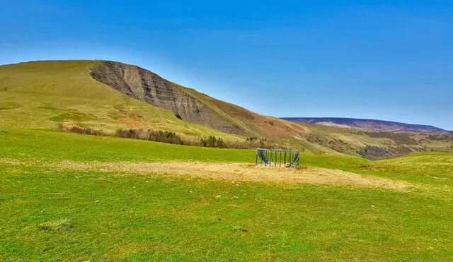
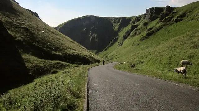
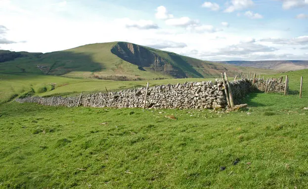
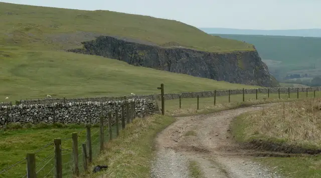
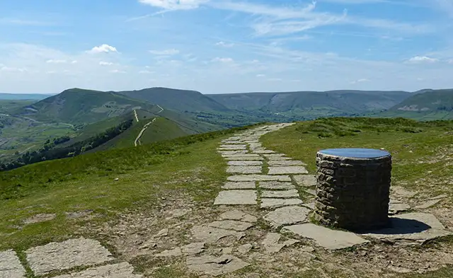
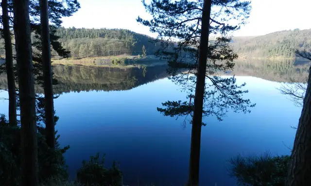
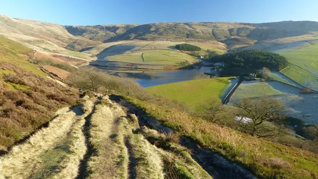
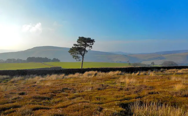
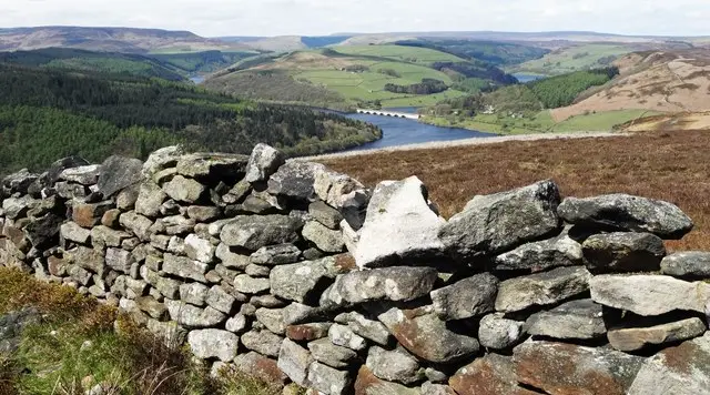
Nestled beneath the dramatic hills of the Peak District, Edale is the starting point for this varied selection of walks, each showcasing the beauty of the Vale of Edale.

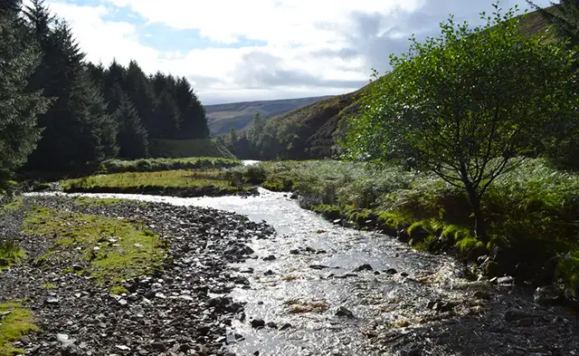
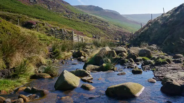
All five routes wander along streams, across open fields and over stone-pitched paths, with sections of the iconic Pennine Way adding a real sense of walking history.

The shorter options include a steady climb rewarded with lovely valley views, while the three longer walks are far more demanding, ascending the rugged slopes of Grindbrook Clough with scrambling, uneven ground and a wonderfully remote feel.

With a railway station on one of England’s most scenic lines and welcoming cafés and pubs in the village, these walks offer everything from a gentle countryside ramble to a challenging upland experience.

Download the Derbyshire Walks App to follow these routes with real-time GPS navigation.

Download on the App Store Get it on Google Play

On a computer? Scan the QR code with your phone's camera to get the Derbyshire Walks app.

Walk information

Edale Walk 1

Walk distance
3½ miles
Time
2 hours
Route type
Circular

This lovely walk starts from the very pretty village of Edale and take you along streams and stone paved paths through the beautiful countryside of the Vale of Edale.

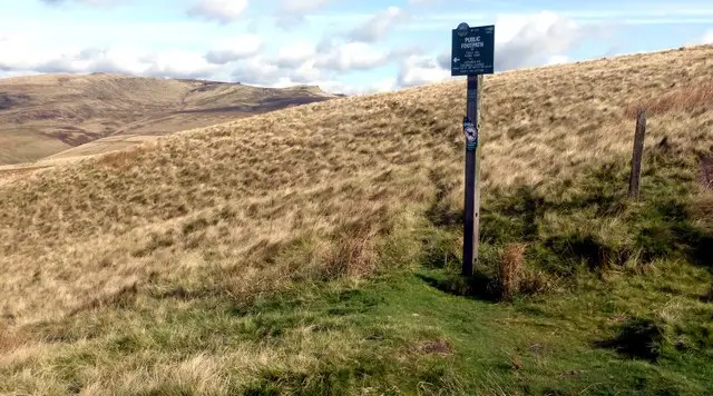
You will walk through open fields and along parts of UK's first and most famous long distance walking path - the Pennine Way.

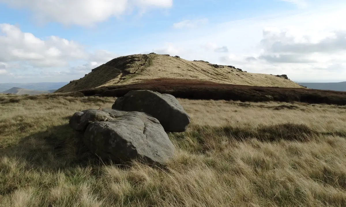
There is one fairly steep climb but some love views to enjoy. It may be muddy after rain.

The village has a railway station on one of Englands's most spectacular railway routes and for refreshments there is the pretty Penny Pot Cafe and two pubs to choose from.

Edale Walk 1 4.8 Ratings and reviews 5 ratings · 3 reviews

Based on 5 user ratings

Community feedback

Overall rating4.8

An outstanding walk

Dog friendly3.8 / 5
Path condition4.5 / 5
Buggy friendly1.2 / 5
Wheelchair friendly1.0 / 5
Toilet facilities2.6 / 5
Pub or café4.4 / 5
Route accuracy4.8 / 5
ClimbingSome climbing
LivestockLivestock likely
StilesA stile or two
Mud levelBoots recommended

Real feedback from people who have completed this walk using the Derbyshire Walks app.

First-hand experiences

User reviews

Walker review

Lovely walk which we did clockwise as we used the excellent free walks guide supplied by the lovely Penny Pot cafe. Definitely recommend getting the guide

Walker review

Highly recommend this walk along Edale vale with beautiful views of Mamtor. Quiet but not too remote. I managed easily with the route directions. Doable even with a slightly stiff knee.I recommend the Penny Pot café plenty of quiet outdoor seating. Great vegan roll with good coffee and right next to the train station with a handy arrivals board inside.

Walker review

Walking anti clockwise, the route had some hills to climb at the start but not too strenuous, then down hill and some flat parts. Toilets in the car park at the start / end and pub and cafe at the start / end the route.

Walk information

Edale Walk 2

Walk distance
3¾ miles
Time
2 hours
Route type
Circular

This walk is an extension of Walk 1 but travels further south after travelling through Barber Booth before heading back into the lovely village of Edale.

There is the same slightly challenging hill to climb towards the beginning of the walk and the same wonderful options for refreshments at the end of the walk. Perfect!

Edale Walk 2 5.0 Ratings and reviews 2 ratings

Based on 2 user ratings

Community feedback

Overall rating5.0

An outstanding walk

Dog friendly3.0 / 5
Path condition4.0 / 5
Buggy friendly1.0 / 5
Wheelchair friendly1.0 / 5
Toilet facilities2.0 / 5
Pub or café1.5 / 5
Route accuracy4.0 / 5
ClimbingSome climbing
LivestockLivestock likely
StilesA few stiles on route
Mud levelMay be muddy after wet weather

Real feedback from people who have completed this walk using the Derbyshire Walks app.

Walk information

Edale Walk 3

Walk distance
5½ miles
Time
3 hours
Route type
Circular

This walk is much more challenging than our first two walks from the village of Edale and is best for more experienced walkers.

There's a long steep climb up Grindbrook Clough towards the beginning of the walk, some scrambling up steep slopes and fords to cross. However the feeling of remoteness and views are amazing.

Whilst the paths are fairly easy to follow along the valley, through the woods and alongside the river, this walk is challenging and remote so should not be attempted in bad weather.

The ground is very uneven in places and will be slippery in wet weather so obviously sturdy walking boots are a must and care will be needed.

At the end of the walk you can enjoy refreshments at one of the pubs or cafes in the village. Enjoy!

Edale Walk 3 4.5 Ratings and reviews 2 ratings · 2 reviews

Based on 2 user ratings

Community feedback

Overall rating4.5

An outstanding walk

Dog friendly4.0 / 5
Path condition4.0 / 5
Buggy friendly2.5 / 5
Wheelchair friendly1.0 / 5
Toilet facilities1.0 / 5
Pub or café3.5 / 5
Route accuracy3.0 / 5
ClimbingSteep climbs
LivestockSome livestock
StilesNo stiles
Mud levelMay be muddy after wet weather

Real feedback from people who have completed this walk using the Derbyshire Walks app.

First-hand experiences

User reviews

Walker review

A very big scrabble up the hill but a most rewarding walk, only pubs and cafes at the beginning and end nothing on route, can be slippy in places and not great in bad weather

Walker review

Didnt see a pub/cafe on route but ones in edale were lovely

Walk information

Edale Walk 4

Walk distance
8 miles
Time
4 hours
Route type
Circular

This popular route is a big day out on the hills for experienced walkers, taking you from the Vale of Edale up onto the Kinder Scout plateau and back down again.

The route follows the valley to Upper Booth and the River Noe, then climbs steeply by Jacob's Ladder and the Yongate bridge, passing the Zen waterfall on the way up.

On the plateau you cross the Kinder Scout National Nature Reserve, a wild landscape of peat and gritstone. Look out for the rock formations of Pym Chair, The Pagoda, The Woolpacks and Crowden Tower, and the wreckage of a Harvard aircraft a short way off the path.

The return drops down Grindsbrook Clough past The Anvil, with Edale's Rescue Post and the Old Nags Head near the end. Expect a steep climb and a rough, exposed plateau, so choose a clear day.

Edale Walk 4 View and rate this walk in the Derbyshire Walks App

Walk information

Edale Walk 5

Walk distance
8½ miles
Time
4.5 hours
Route type
Circular

This is the longest and highest of the Edale walks. Like the fourth route, it climbs out of the valley to the western edge of the Kinder Scout plateau, but this one also adds an extra loop round its high ground and visits an extra trig point at the top.

From Upper Booth you follow the River Noe up past Jacob's Ladder, the Yongate bridge and the Zen waterfall, with a steep pull onto the plateau.

The highlights come in quick succession: Edale Rocks, Kinder Low and the summit of Kinder Scout itself, all within the Kinder Scout National Nature Reserve. You then pass Pym Chair, The Pagoda, The Woolpacks and Crowden Tower, with the wreckage of a Harvard aircraft a short way off the path.

Expect a long strenous walk, some steep climbs, rough ground and exposed moorland, so this is only one for fair weather and experienced walkers.

Edale Walk 5 View and rate this walk in the Derbyshire Walks App

Navigate the walks

Derbyshire Walks App

Follow the Edale walks with GPS guidance

It's like sat-nav, but for footpaths.

Choose a walk and follow the pointer showing your live position on the route map, so you always know you're on the right path.

The app works without a phone signal, so you can keep following the route wherever the walk takes you.

Download the app

Download on the App Store Get it on Google Play

On a computer? Scan the QR code with your phone's camera to get the Derbyshire Walks app.

Derbyshire Walks app showing the walker's live position on a route map

Designed to be simple

  • Choose a walk and follow the pointer
  • See your live position on the route map
  • Works without a phone signal
  • Includes 250 Derbyshire walks
  • Free one-month trial
  • Available for iPhone and Android

Explore the area

Nearby walks

Explore the county

Derbyshire walks map

Map data © OpenStreetMap contributors

Search Derbyshire walks

See where the walks start, explore the area and tap a pin to find a route for your next adventure.

Search Derbyshire walks
Expanded route map for Edale Walk 1, a 3.5 mile circular walk in Derbyshire