

Derbyshire Walks

Shining Tor Walk and Route Map

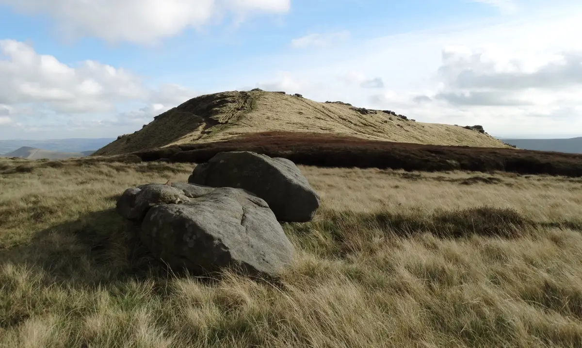
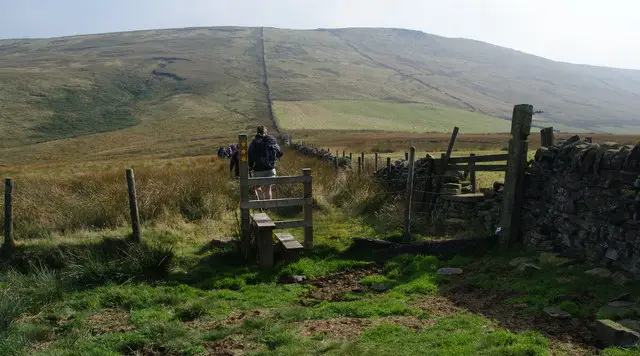
Open gritstone moorland ridge near Shining Tor with a path running along the skyline under a wide sky
Shining Tor · Photo: Bill Boaden

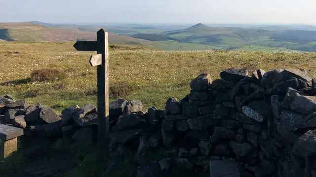
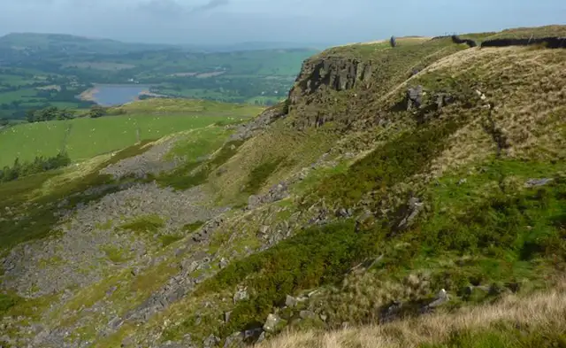
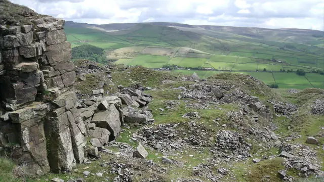
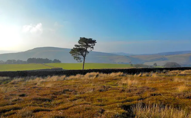
Shining Tor is the highest hill in Cheshire, rising to 559 m on a long gritstone ridge in the Peak District between Macclesfield and Buxton. The ridge forms the border between Cheshire and Derbyshire, and our walks start from the Staffordshire side near Pym Chair, where legend says a highwayman once sat on a stone chair watching for travellers.

The two walks here explore the ridge in different ways. The shorter route climbs to Cats Tor and follows the high moorland south to Shining Tor, passing the sites of several wartime aircraft crashes on the way. On a clear day the views reach across the Cheshire Plain to the Clwydian Range in North Wales.

The longer route adds the Goyt Valley, with Foxlow Edge, Errwood Reservoir and some pleasant woodland, before a steep climb up Deep Clough to the ridge. Both walks cross exposed open ground, so wear good boots, bring windproof layers and expect mud after wet weather. For more walks like this, take a look at the Staffordshire Walks app.

Download the Derbyshire Walks App to follow these routes with real-time GPS navigation.

Download on the App Store Get it on Google Play

On a computer? Scan the QR code with your phone's camera to get the Derbyshire Walks app.

Shining Tor walk 01

Shining Tor Ridge Walk from Pym Chair

Walk distance
4½ miles
Time
2.5 hours
Route type
Circular

This shorter walk climbs onto the gritstone ridge that carries Shining Tor.

A steady pull up from the start brings you past Pym Chair, a spot with a highwayman legend attached, and on to Cats Tor, where the moorland opens out.

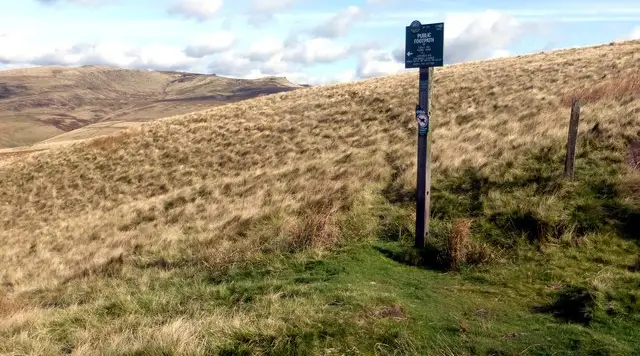
The ridge path then runs south past The Tors, with the sites of several wartime aircraft crashes close by, to the summit of Shining Tor just off the route. On a clear day the views stretch over the Cheshire Plain towards North Wales.

The way back drops across open moorland and finishes along Side End Lane, with a short, sharp climb near the end. It is exposed up here, so bring windproof layers, and expect mud after rain.


Shining Tor Ridge Walk from Pym Chair No ratings yet Be the first - rate this walk in the Derbyshire Walks App

Shining Tor walk 02

Shining Tor and Errwood Reservoir Walk

Walk distance
7 miles
Time
3.5 hours
Route type
Circular

A longer, more varied day on the hills that links the Goyt Valley with the high ridge of Shining Tor.

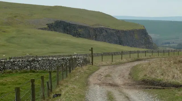
You set off past Pym Chair and along Foxlow Edge, then drop to Shooter's Clough Bridge and the shores of Errwood Reservoir, with woodland and water for a good part of the middle of the walk.

Beyond the Goyt, the route follows Deep Clough and then climbs steeply and for some distance up to the ridge. Your reward is Shining Tor itself, with its far views over the Cheshire Plain.

The return runs north along the ridge, passing wartime aircraft wreckage and crash sites, The Tors and Cats Tor. This is a strenuous walk with several climbs, and the ridge is exposed and can be very muddy in wet weather.

Shining Tor and Errwood Reservoir Walk No ratings yet Be the first - rate this walk in the Derbyshire Walks App

Navigate the walks

Derbyshire Walks App

Follow the Shining Tor walks with GPS guidance

It's like sat-nav, but for footpaths.

Choose a walk and follow the pointer showing your live position on the route map, so you always know you're on the right path.

The app works without a phone signal, so you can keep following the route wherever the walk takes you.

Download the app

Download on the App Store Get it on Google Play

On a computer? Scan the QR code with your phone's camera to get the Derbyshire Walks app.

Derbyshire Walks app showing the walker's live position on a route map

Designed to be simple

  • Choose a walk and follow the pointer
  • See your live position on the route map
  • Works without a phone signal
  • Includes 250 Derbyshire walks
  • Free one-month trial
  • Available for iPhone and Android

Explore the area

Nearby walks

Explore the county

Derbyshire walks map

Map data © OpenStreetMap contributors

Search Derbyshire walks

See where the walks start, explore the area and tap a pin to find a route for your next adventure.

Search Derbyshire walks
Expanded route map for Shining Tor Ridge Walk from Pym Chair, a 4.5 mile circular walk in Derbyshire