

Derbyshire Walks

Brown Knoll Walk and Route Map

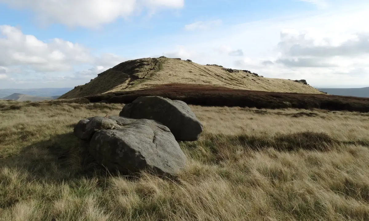
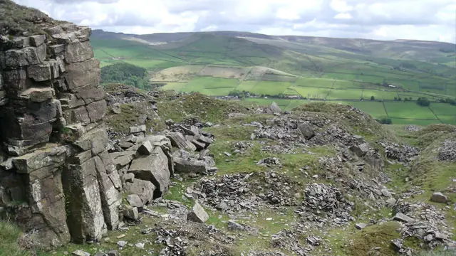
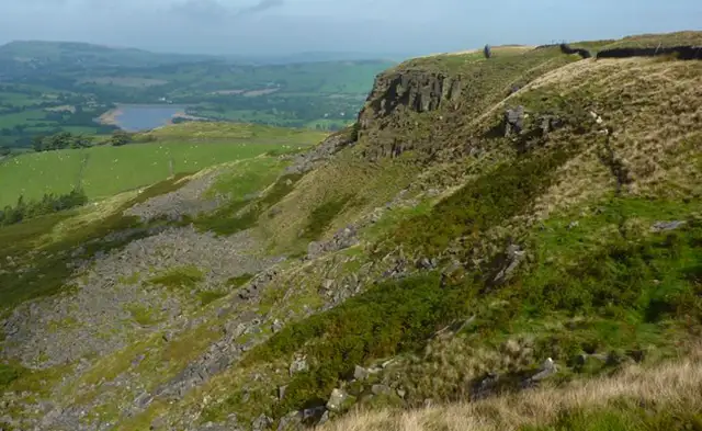
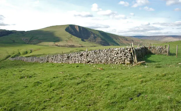
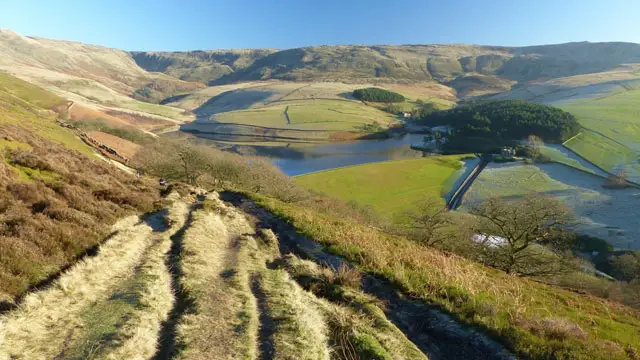
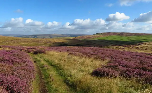
Open moorland and a long grassy ridge rising towards the summit of Brown Knoll in the Derbyshire Dark Peak
Brown Knoll · Photo: Graham Hogg

Brown Knoll lies on the southern edge of the Kinder Scout plateau in the Derbyshire Dark Peak, between Chapel-en-le-Frith and the Vale of Edale. At 568 m it is the high point of our walk here, a quieter summit that is often described as the southern extension of Kinder Scout, and it is Open Access land.

We have one circular walk on the Derbyshire Walks app, covering 6.8 miles. It begins with a gentle introduction, crossing Hockham Brook and Bolehill Clough, with the Bronze Age Green Low ring cairn a short way off the path. After meeting Sheffield Road the route climbs steadily in a series of moderate steps, passing Beet Lane and South Head before reaching Brown Knoll itself.

The return follows Chapel Gate, an ancient track that runs between the Vale of Edale and Rushup Edge, before finishing along Rushup Lane. Allow a morning or afternoon, wear sturdy footwear and check the forecast, as much of the route crosses open moorland. Mountain bikers also use some of the tracks, so stay alert.

Download the Derbyshire Walks App to follow this route with real-time GPS navigation.

Download on the App Store Get it on Google Play

On a computer? Scan the QR code with your phone's camera to get the Derbyshire Walks app.

Brown Knoll walk 01

Brown Knoll Circular Walk

Walk distance
6¾ miles
Time
3.5 hours
Route type
Circular

A strenuous but rewarding moorland walk in the Dark Peak, climbing to the summit of Brown Knoll, the southern extension of Kinder Scout and the high point of the route.

Early on you cross Hockham Brook and Bolehill Clough, with the Bronze Age Green Low ring cairn a short way off the path. After meeting Sheffield Road, the walk settles into a long run of moderate climbs, passing Beet Lane and South Head, which sits a little off to one side, before reaching Brown Knoll itself, Open Access land on open moorland.

The return follows Chapel Gate, an ancient track between the Vale of Edale and Rushup Edge, and finishes along Rushup Lane.

Expect several strenuous climbs and exposed open ground, so choose a clear day and make sure you have plenty of energy for the adventure.

Brown Knoll Circular Walk No ratings yet Be the first - rate this walk in the Derbyshire Walks App

Navigate the walks

Derbyshire Walks App

Follow the Brown Knoll walk with GPS guidance

It's like sat-nav, but for footpaths.

Choose a walk and follow the pointer showing your live position on the route map, so you always know you're on the right path.

The app works without a phone signal, so you can keep following the route wherever the walk takes you.

Download the app

Download on the App Store Get it on Google Play

On a computer? Scan the QR code with your phone's camera to get the Derbyshire Walks app.

Derbyshire Walks app showing the walker's live position on a route map

Designed to be simple

  • Choose a walk and follow the pointer
  • See your live position on the route map
  • Works without a phone signal
  • Includes 250 Derbyshire walks
  • Free one-month trial
  • Available for iPhone and Android

Explore the area

Nearby walks

Explore the county

Derbyshire walks map

Map data © OpenStreetMap contributors

Search Derbyshire walks

See where the walks start, explore the area and tap a pin to find a route for your next adventure.

Search Derbyshire walks
Expanded route map for Brown Knoll Circular Walk, a 6.75 mile circular walk in Derbyshire