

Derbyshire Walks

Cown Edge Walks & Route Maps

Cown Edge walk, Derbyshire
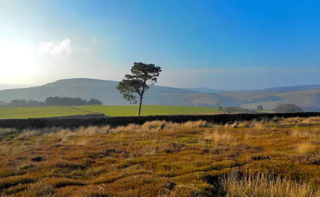
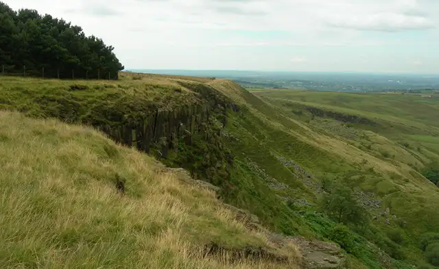
Cown Edge · Photo: John Topping

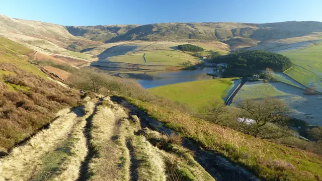
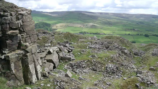
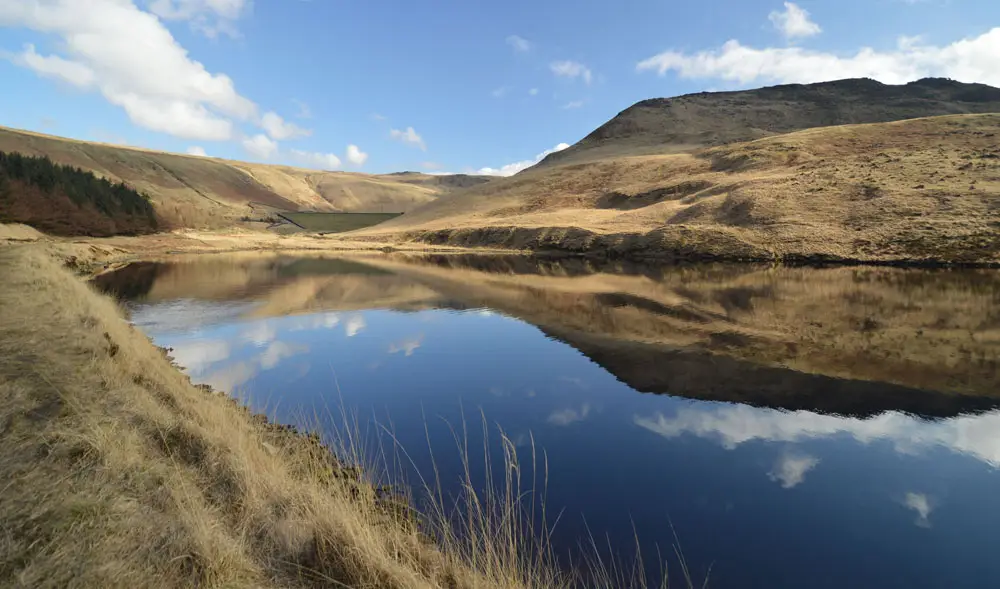
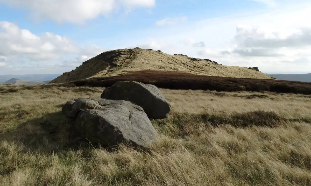
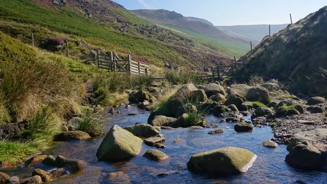
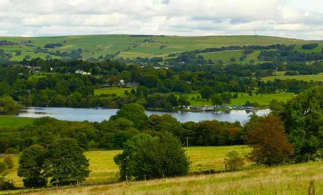
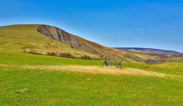
These walks explore the rugged high ground around Cown Edge on the western side of the Peak District, where gritstone ridges, rocky escarpments and steep slopes shape the landscape.

The walks follow sections of Cown Edge Way past Coombes Rocks and along the exposed ridge itself, while the longer route also drops towards Rowarth and Matley Moor, adding quieter countryside and a stretch of the Pennine Bridleway before climbing back onto the high ground.

Download the Derbyshire Walks App to follow these routes with real-time GPS navigation.

Download on the App Store Get it on Google Play

Walk information

Cown Edge Walk 1

Walk distance
2 miles
Time
1 hour
Route type
Circular

This first route option explores the dramatic gritstone escarpment around Cown Edge.

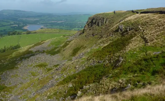
Around Coombes Edge the landscape opens into wide views across the surrounding countryside, where steep slopes mark the boundary between the Peak District uplands and the countryside beyond.

Sections of Cown Edge Way follow the high ground, passing weathered gritstone formations at Coombes Rocks before reaching the exposed ridge of Cown Edge itself.

The rocky edges and cliffs give the walk a wild feel, but of course care is needed near the steep drops and cliff edges.

Cown Edge Walk 1 No ratings yet Be the first - rate this walk in the Derbyshire Walks App

Walk information

Cown Edge Walk 2

Walk distance
6¾ miles
Time
3.5 hours
Route type
Circular

If you have more time for your adventure, this second route adds an extension to the first walk that explores more of the rugged gritstone edges found on the western side of the Peak District.

Around Coombes Edge and Cown Edge Way the high ground opens into sweeping views, with steep slopes and rocky escarpments shaping the skyline.

Weathered formations at Coombes Rocks hint at the area’s ancient geology before the route drops toward the quiet valley village of Rowarth.

Nearby, the Little Mill Inn offers a welcoming pub stop, while sections of the Pennine Bridleway cross the surrounding countryside.

The walk later climbs back onto open ground at Matley Moor before returning to the dramatic ridge of Cown Edge.

This walk includes uneven ground, steep sections and cliff edges , so please take care.

Cown Edge Walk 2 No ratings yet Be the first - rate this walk in the Derbyshire Walks App

Navigate the walks

Derbyshire Walks App

Follow the Cown Edge walks with GPS guidance

It's like sat-nav, but for footpaths.

Choose a walk and follow the pointer showing your live position on the route map, so you always know you're on the right path.

The app works without a phone signal, so you can keep following the route wherever the walk takes you.

Download the app

Download on the App Store Get it on Google Play
Derbyshire Walks app showing the walker's live position on a route map

Designed to be simple

  • Choose a walk and follow the pointer
  • See your live position on the route map
  • Works without a phone signal
  • Includes 250 Derbyshire walks
  • Free one-month trial
  • Available for iPhone and Android

Explore the area

Nearby walks

Explore the county

Derbyshire walks map

Map data © OpenStreetMap contributors

Search Derbyshire walks

See where the walks start, explore the area and tap a pin to find a route for your next adventure.

Search Derbyshire walks
Expanded route map for Cown Edge Walk 1, a 2 mile circular walk in Derbyshire