

Derbyshire Walks

Lady Clough Moor Walks & Route Maps

Lady Clough Moor walk, Derbyshire
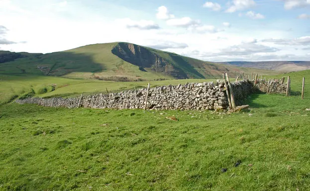
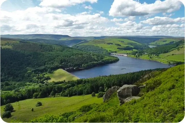
Lady Clough Moor · Photo: Neil Theasby

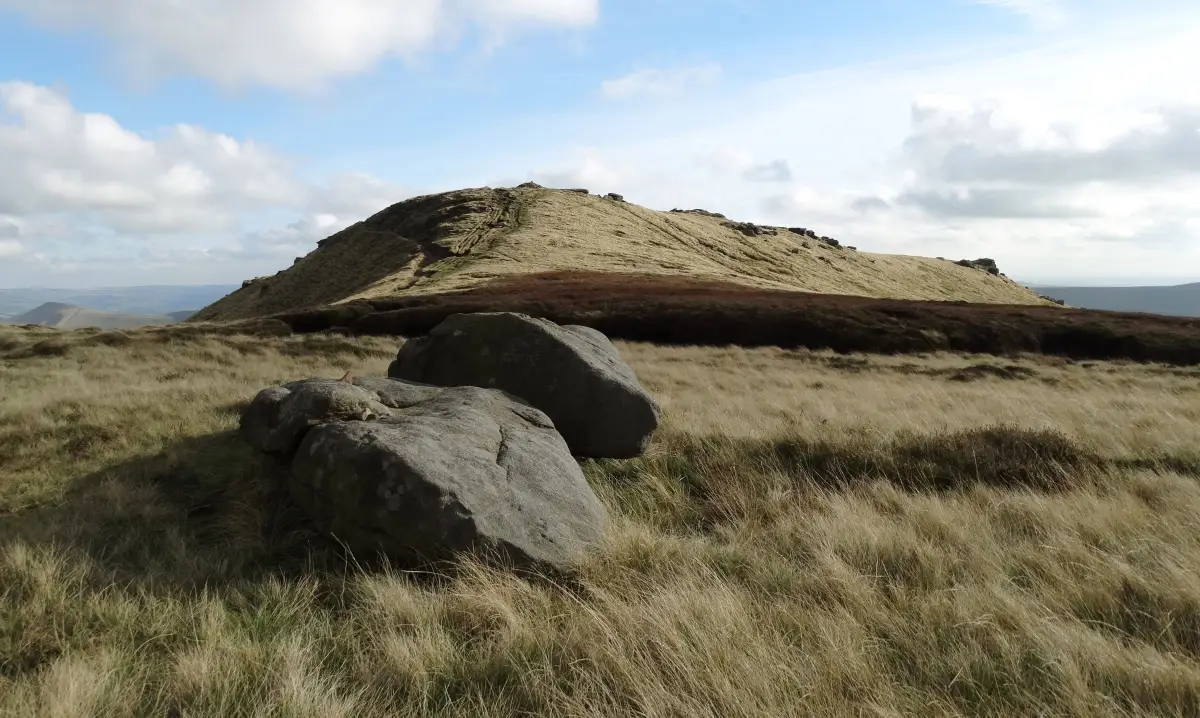
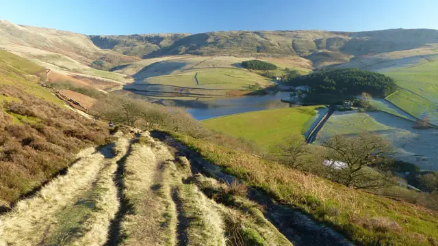
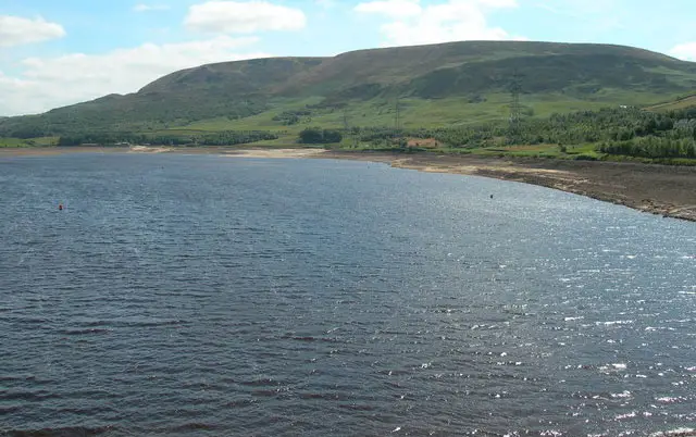
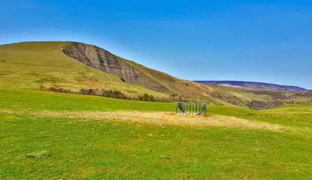
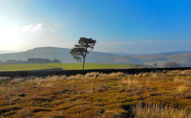
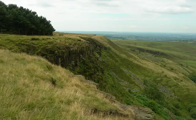
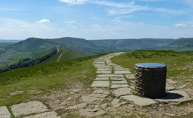
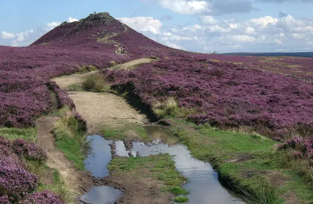
These walks explore the high moorland around Lady Clough Moor in the Dark Peak, where open upland terrain, heather-covered ground and broad views set the tone for a more exposed and energetic outing.

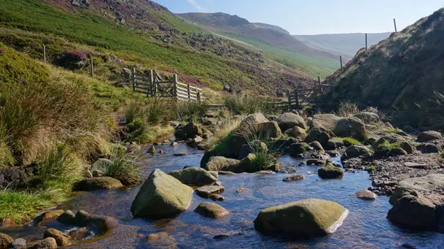
Both routes pass through Snake Woodland and follow sections of the historic Snake Path, before dropping down towards the River Ashop and its quieter valley setting, with the longer walk continuing further along the opposite side of the river before looping back across the moor.

Download the Derbyshire Walks App to follow these routes with real-time GPS navigation.

Download on the App Store Get it on Google Play

Walk information

Lady Clough Moor Walk 1

Walk distance
4 miles
Time
2 hours
Route type
Circular

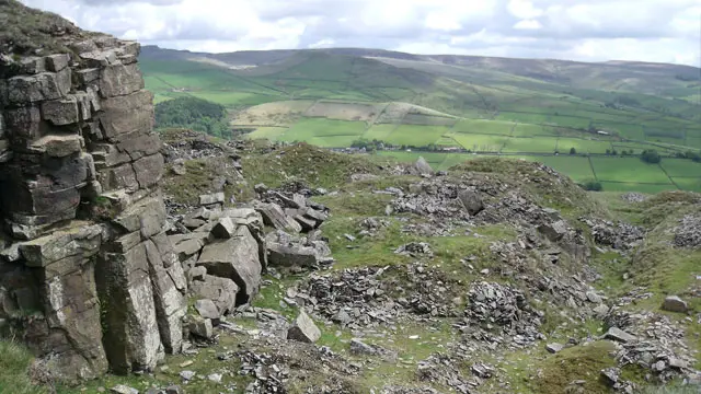
This energetic route explores the wide, windswept landscape of Lady Clough Moor, where heather, peat, and rough grasses spread across the Dark Peak plateau.

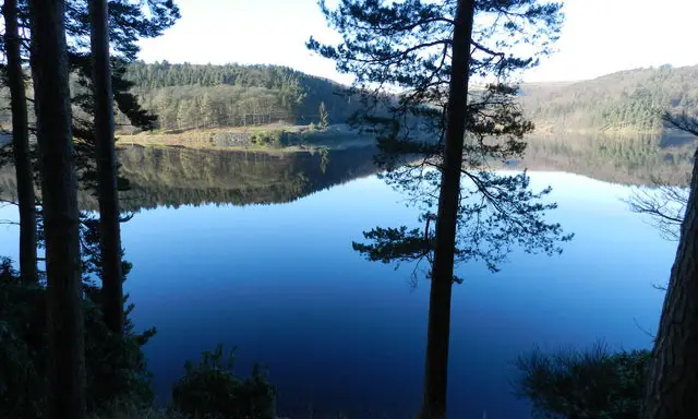
The walk also passes through the sheltered slopes of Snake Woodland, a rare pocket of trees in this high moorland landscape, before joining sections of the historic Snake Path - a long-used route across the uplands.

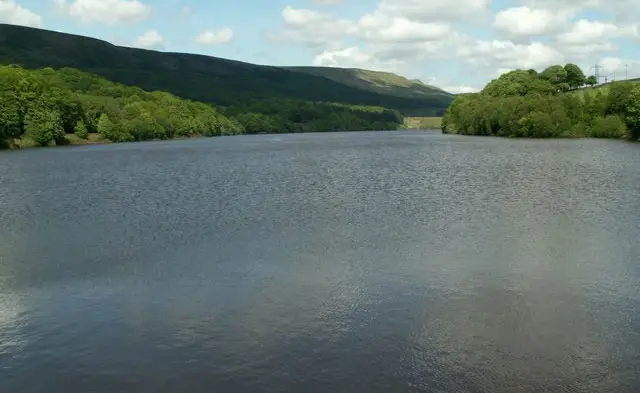
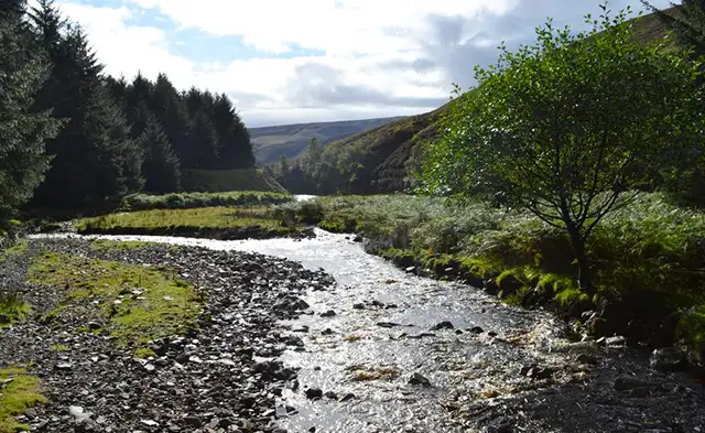
The route then follows the River Ashop as it winds quietly through its valley below.

Lady Clough Moor Walk 1 No ratings yet Be the first - rate this walk in the Derbyshire Walks App

Walk information

Lady Clough Moor Walk 2

Walk distance
4½ miles
Time
2.5 hours
Route type
Circular

This longer and equally 'hilly' walk option starts within Lady Clough Moor and ventures through the sheltered slopes of Snake Woodland before linking up with sections of the historic Snake Path.

Later, the walk then follows the other side of the River Ashop as it winds its way through its quiet valley before looping back round and heading back up to the start point.

Lady Clough Moor Walk 2 No ratings yet Be the first - rate this walk in the Derbyshire Walks App

Navigate the walks

Derbyshire Walks App

Follow the Lady Clough Moor walks with GPS guidance

It's like sat-nav, but for footpaths.

Choose a walk and follow the pointer showing your live position on the route map, so you always know you're on the right path.

The app works without a phone signal, so you can keep following the route wherever the walk takes you.

Download the app

Download on the App Store Get it on Google Play
Derbyshire Walks app showing the walker's live position on a route map

Designed to be simple

  • Choose a walk and follow the pointer
  • See your live position on the route map
  • Works without a phone signal
  • Includes 250 Derbyshire walks
  • Free one-month trial
  • Available for iPhone and Android

Explore the area

Nearby walks

Explore the county

Derbyshire walks map

Map data © OpenStreetMap contributors

Search Derbyshire walks

See where the walks start, explore the area and tap a pin to find a route for your next adventure.

Search Derbyshire walks
Expanded route map for Lady Clough Moor Walk 1, a 4 mile circular walk in Derbyshire