

Derbyshire Walks

Tintwistle Walks & Route Maps

Tintwistle walk, Derbyshire
Tintwistle · Photo: John Fielding

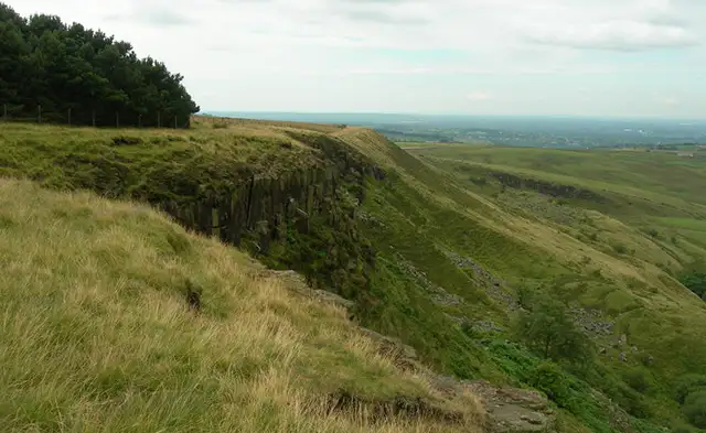
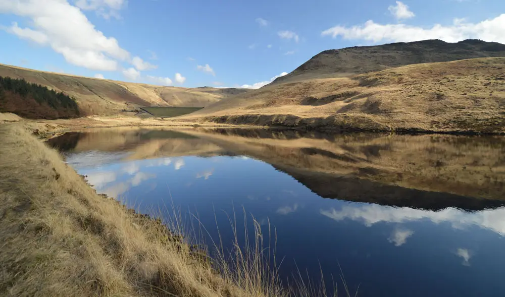
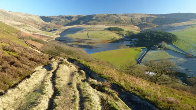
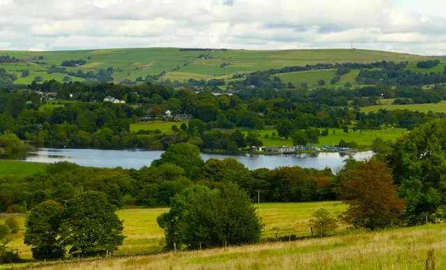
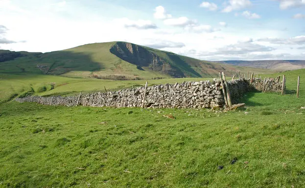
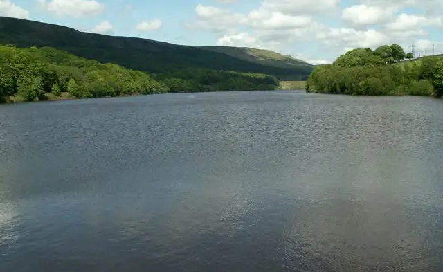
These walks from Tintwistle explore the beautiful reservoirs and rolling hills of the Longdendale Valley, offering a peaceful escape with ever-changing waterside views.

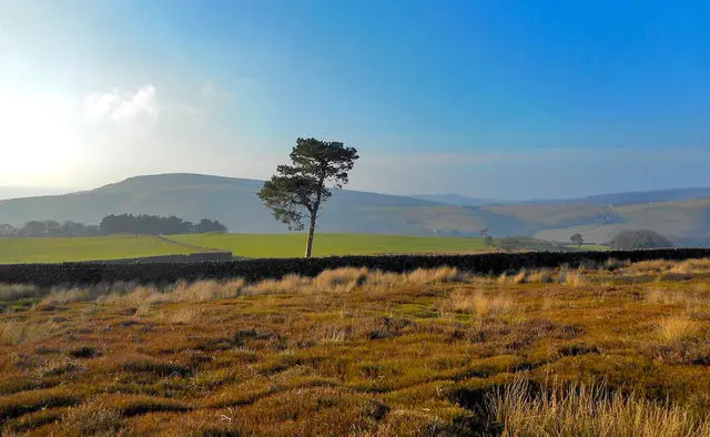
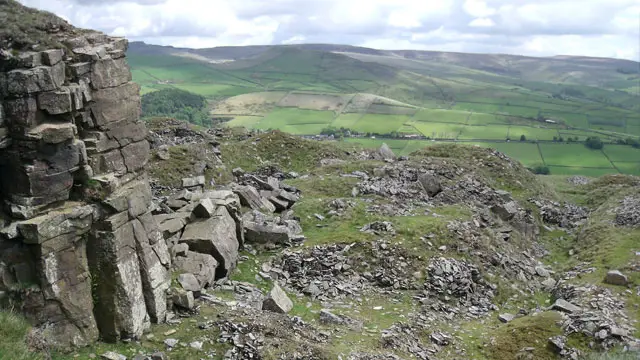
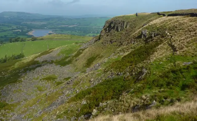
Whether you prefer gentle shoreline paths around the reservoirs or a more energetic climb onto the surrounding moorland via the Pennine Bridleway, the walks combine woodland, open countryside and sweeping scenery before returning to the village for well-earned refreshments.

Download the Derbyshire Walks App to follow these routes with real-time GPS navigation.

Download on the App Store Get it on Google Play

Walk information

Tintwistle Walk 1

Walk distance
5½ miles
Time
2.5 hours
Route type
Circular

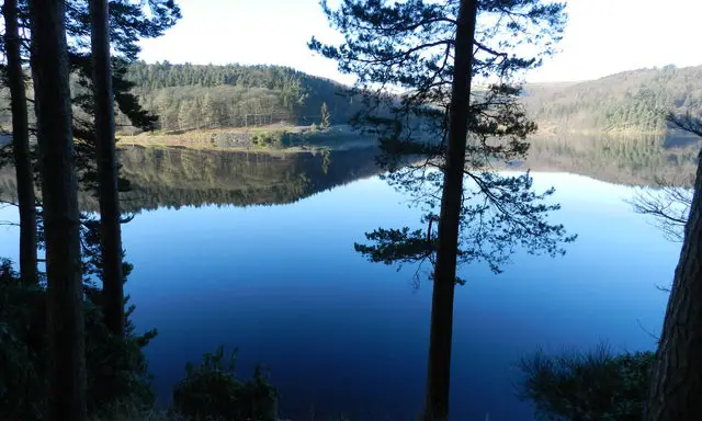
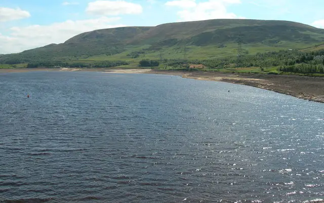
Starting from the small village of Tintwistle this lovely walk follows paths around three of the reservoirs that are part of the Longendale Chain. The paths are easy to walk on and each area of water provides different scenery.

There is a variety of woodland, forestry and moorland paths, plus you will enjoy some lovely views across the water to Bramah Edge. There is a small amount of uphill climbing but nothing too strenuous.

Refreshments can be had at the historic Bulls Head Pub at the top of Chapel Brow.

Tintwistle Walk 1 4.2 Ratings and reviews 5 ratings · 3 reviews

Based on 5 user ratings

Community feedback

Overall rating4.2

A very popular walk

Dog friendly4.6 / 5
Path condition2.2 / 5
Buggy friendly3.0 / 5
Wheelchair friendly2.4 / 5
Toilet facilities1.8 / 5
Pub or café2.0 / 5
Route accuracy3.6 / 5
ClimbingGentle slopes
LivestockRarely any livestock
StilesA stile or two
Mud levelMay be muddy after wet weather

Real feedback from people who have completed this walk using the Derbyshire Walks app.

First-hand experiences

User reviews

Walker review

Great food in the black bull- sunday lunch.

Walker review

Overall very enjoyable with wonderful views of the reservoirs all around the route. The second half of the walk was confusing as there are no instruction as to which path to take at 2 places - the worst one was where I had to find a concealed tunnel underneath the main path…which took me a while to find it and then took me through the farmers field with sheep down to another path nearer the reservoir. The end section wasn’t straight forward either leading back into Tintwistle…

Walker review

Loved it nice and flat defo go again

Walk information

Tintwistle Walk 2

Walk distance
5¾ miles
Time
3.5 hours
Route type
Circular

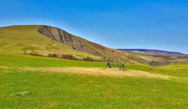
Although at the start of this walk you are quite close to Hadfield and Glossop, it does not take long on this walk to be away from it all with lovely scenery around you. The walk starts from the village of Tintwistle and passes Arnfield Reservoir before heading uphill into the surrounding hills and moorland with lovely views to admire.

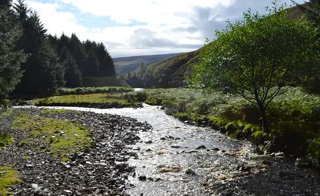
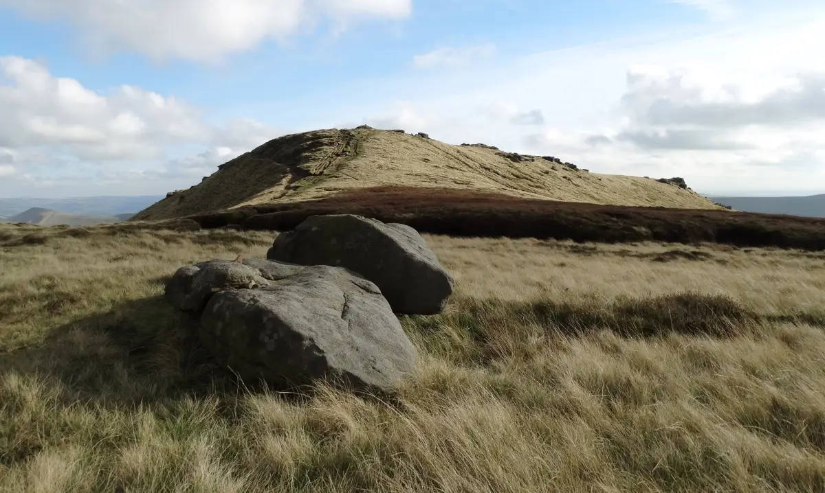
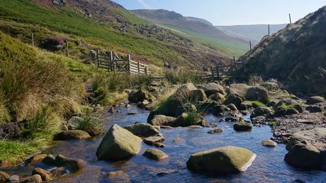
You will carry on uphill on the Pennine Bridleway to Lees Hill. From there is downhill all the way back to Tintwistle. On route you will pass the Swallow Wood Nature Reserve. This secluded valley with its tall pinewoods, babbling brook and quiet meadows, is a delightful place to spend time.

Good footwear is required for this walk. There are brooks to cross, a couple of quite steep hills and a steep descent.

Refreshments can be had at the historic Bulls Head Pub at the top of Chapel Brow.
Tintwistle Walk 2 3.5 Ratings and reviews 2 ratings

Based on 2 user ratings

Community feedback

Overall rating3.5

A well-liked walk

Dog friendly4.0 / 5
Path condition4.5 / 5
Buggy friendly1.0 / 5
Wheelchair friendly1.0 / 5
Toilet facilities1.5 / 5
Pub or café2.5 / 5
Route accuracy5.0 / 5
ClimbingPlenty of climbing
LivestockLivestock likely
StilesA few stiles on route
Mud levelBoots recommended

Real feedback from people who have completed this walk using the Derbyshire Walks app.

Navigate the walks

Derbyshire Walks App

Follow the Tintwistle walks with GPS guidance

It's like sat-nav, but for footpaths.

Choose a walk and follow the pointer showing your live position on the route map, so you always know you're on the right path.

The app works without a phone signal, so you can keep following the route wherever the walk takes you.

Download the app

Download on the App Store Get it on Google Play
Derbyshire Walks app showing the walker's live position on a route map

Designed to be simple

  • Choose a walk and follow the pointer
  • See your live position on the route map
  • Works without a phone signal
  • Includes 250 Derbyshire walks
  • Free one-month trial
  • Available for iPhone and Android

Explore the area

Nearby walks

Explore the county

Derbyshire walks map

Map data © OpenStreetMap contributors

Search Derbyshire walks

See where the walks start, explore the area and tap a pin to find a route for your next adventure.

Search Derbyshire walks
Expanded route map for Tintwistle Walk 1, a 5.5 mile circular walk in Derbyshire