

Derbyshire Walks

Winnats Pass Walk and Route Map

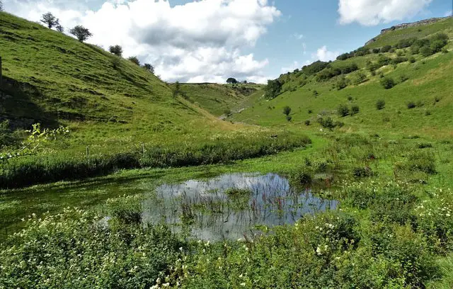
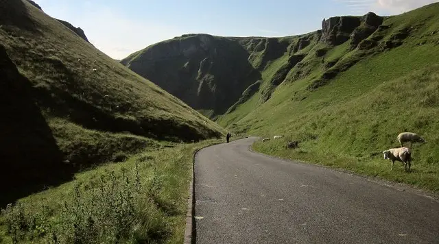
Walkers on a path above a steep-sided limestone pass with grassy hillsides rising on either side in the Derbyshire Hope Valley
Winnats Pass · Photo: Derek Harper

Winnats Pass sits just west of Castleton in the Derbyshire Hope Valley, with Speedwell Cavern at the start of the walks and an information board on the pass's fossilised seascape. It is a fine base for walkers who like a mix of dramatic landscape, caves and history within a short distance.

We have three circular walks on the Derbyshire Walks app, ranging from 2.6 to 5.4 miles. The shorter two link Winnats Pass with Castleton, passing Peak Cavern (known as the Devil's Arse), Peakshole Water and Peveril Castle. The second adds Blue John Cavern, Little Mam Tor and Treak Cliff Cavern on the return.

The longest walk goes further, climbing to Mam Tor and its hillfort and following the ridge to Hollins Cross, then coming back along Old Mam Tor Road. All three have steady climbs, so wear sturdy footwear and check the weather before you set out, especially on the higher ground.

Download the Derbyshire Walks App to follow these routes with real-time GPS navigation.

Download on the App Store Get it on Google Play

On a computer? Scan the QR code with your phone's camera to get the Derbyshire Walks app.

Winnats Pass walk 01

Winnats Pass Short Walk

Walk distance
2½ miles
Time
1.5 hours
Route type
Circular

A short, compact circuit around Winnats Pass, with a good deal packed in for its length. It starts beside Speedwell Cavern and soon drops towards Castleton, passing close to Peveril Castle on the edge of the village.

The return is then the main event. You tackle the climb steadily past the Winnats Head cave entrance and then take in Winnats Pass itself, the walk's star attraction. Near the end you pass Suicide Cave (aka Horseshoe Cave) before finishing with a walk back down through the pass on a footpath beside the road.

The climbs are moderate but fairly sustained, so allow time to stop and look around on this adventure.

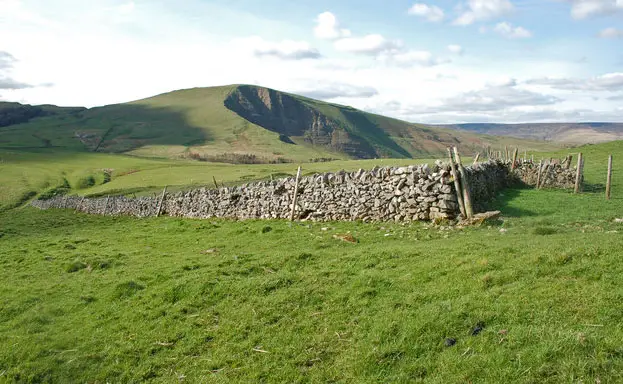
Winnats Pass walk 02

Winnats Pass and Blue John Cavern Walk

Walk distance
3 miles
Time
1.5 hours
Route type
Circular

This slightly longer circuit keeps the same start and the same highlights as the first route, but then adds a stretch of the show cave country above Winnats Pass.

You begin by Speedwell Cavern and head down towards Castleton, passing Peveril Castle as you go. After a steady climb you reach Winnats Head and then follow the ridge above Winnats Pass, the walk's highlight.

The way back then passes Blue John Cavern, with a Cafe just off the route, then Little Mam Tor and Treak Cliff Cavern, before a last stretch to the information board at the start.

The climbs are steep and the route is well suited to a relaxed but energetic morning or afternoon.

Winnats Pass walk 03

Winnats Pass and Mam Tor Circular Walk

Walk distance
5½ miles
Time
2.5 hours
Route type
Circular

The longest of the routes adds a spectaular world famous high ridge section to the Winnats Pass circuit enjoyed in route 2.

It begins beside Speedwell Cavern and passes close to Castleton, with Peveril Castle along the way, before climbing to Winnats Head and Winnats Pass.

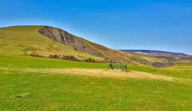
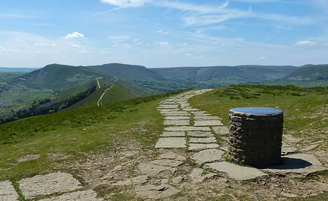
From there you keep climbing until you reach the peak of Mam Tor and its hillfort, the high point of the walk, then continue along the ridge to Hollins Cross, where the Tom Hyett memorial stands.

The descent passes the Broken road viewpoint and follows Old Mam Tor Road, then reaches Blue John Cafe, Blue John Cavern and Treak Cliff Cavern before the finish.

Expect several sustained and strenuous climbs and some exposed high ground, so go prepared for changeable weather.

These Winnats Pass walks start at grid reference: 53.341474,-1.792955

Navigate the walks

Derbyshire Walks App

Follow the Winnats Pass walks with GPS guidance

It's like sat-nav, but for footpaths.

Choose a walk and follow the pointer showing your live position on the route map, so you always know you're on the right path.

The app works without a phone signal, so you can keep following the route wherever the walk takes you.

Download the app

Download on the App Store Get it on Google Play

On a computer? Scan the QR code with your phone's camera to get the Derbyshire Walks app.

Derbyshire Walks app showing the walker's live position on a route map

Designed to be simple

  • Choose a walk and follow the pointer
  • See your live position on the route map
  • Works without a phone signal
  • Includes 250 Derbyshire walks
  • Free one-month trial
  • Available for iPhone and Android

Explore the area

Nearby walks

Explore the county

Derbyshire walks map

Map data © OpenStreetMap contributors

Search Derbyshire walks

See where the walks start, explore the area and tap a pin to find a route for your next adventure.

Search Derbyshire walks
Expanded route map for Winnats Pass Short Walk, a 2.5 mile circular walk in Derbyshire