

Derbyshire Walks

Lumsdale Waterfall Walk and Route Map

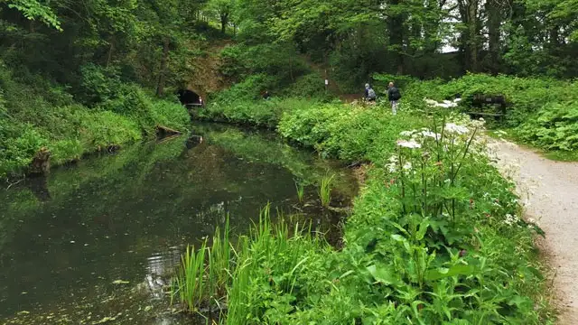
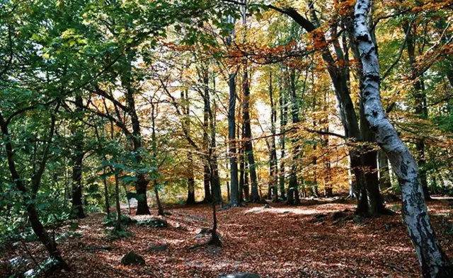
A wooded valley with a stream, stone mill ruins and old mill ponds beneath the trees at Lumsdale near Matlock
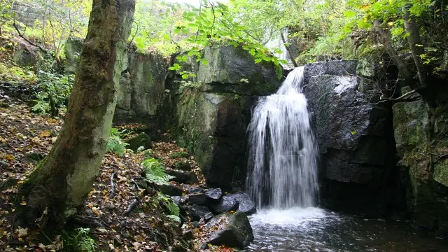
Lumsdale Waterfall · Photo: Alan Walker

Lumsdale is a steep-sided wooded valley just outside Matlock, where Bentley Brook drops through a string of ruined mills, old ponds and a waterfall. Industry arrived early: by the 17th century the brook's water power was being used to smelt lead, and the valley later ground corn, crushed bone, ground paint minerals and barytes, and bleached textiles. By about 1850 five mills were working in a line, the water passing from one to the next before returning to the stream.

Today the valley is a scheduled monument, owned and cared for by the Arkwright Society, which is named after Richard Arkwright, whose Cromford mill of 1771 was the first successful water-powered cotton-spinning mill. Lumsdale has been described as a forerunner of those more famous developments at Cromford, and as one of the best examples in Britain of a water-powered industrial archaeological site.

The Lumsdale Waterfall walk is a short circular route with free roadside parking at the start. It includes a steady climb and some uneven ground, and it suits a walker who wants to take time over the ruins and the waterfall rather than cover many miles.

Download the Derbyshire Walks App to follow this route with real-time GPS navigation.

Download on the App Store Get it on Google Play

On a computer? Scan the QR code with your phone's camera to get the Derbyshire Walks app.

Lumsdale Waterfall walk 01

Lumsdale Waterfall Walk

Walk distance
2 miles
Time
1 hour
Route type
Circular

A short circular walk through Lumsdale, the wooded valley near Matlock where Bentley Brook powered a chain of mills. You can see the waterfall, the old mill ponds and the ruined wheel pits, with some uneven ground and one steady climb. Free roadside parking is available at the start, though space can be tight.


Lumsdale Waterfall Walk No ratings yet Be the first - rate this walk in the Derbyshire Walks App

Navigate the walks

Derbyshire Walks App

Follow the Lumsdale Waterfall walk with GPS guidance

It's like sat-nav, but for footpaths.

Choose a walk and follow the pointer showing your live position on the route map, so you always know you're on the right path.

The app works without a phone signal, so you can keep following the route wherever the walk takes you.

Download the app

Download on the App Store Get it on Google Play

On a computer? Scan the QR code with your phone's camera to get the Derbyshire Walks app.

Derbyshire Walks app showing the walker's live position on a route map

Designed to be simple

  • Choose a walk and follow the pointer
  • See your live position on the route map
  • Works without a phone signal
  • Includes 250 Derbyshire walks
  • Free one-month trial
  • Available for iPhone and Android

Explore the area

Nearby walks

Explore the county

Derbyshire walks map

Map data © OpenStreetMap contributors

Search Derbyshire walks

See where the walks start, explore the area and tap a pin to find a route for your next adventure.

Search Derbyshire walks
Expanded route map for Lumsdale Waterfall Walk, a 2 mile circular walk in Derbyshire