
At a glance
Cromford Walk
- Distance
- 4.5 miles
- Estimated time
- 2 hours
- Route type
- Circular
- GPS app guided
- Yes
- Parking
- Cromford Wharf Car Park 53.10973, -1.55325
- Characteristics
- Woodland, Hills, Water, Countryside, Pub, Café
- Ascent
- 190 m
Derbyshire Walks
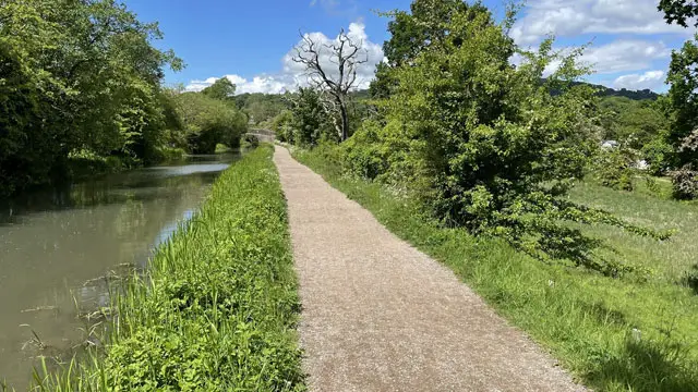
This walk begins at the historic Cromford Mill and climbs to the dramatic viewpoint of Black Rocks, with sweeping views across the Derwent Valley.
This walk then descends along the High Peak Trail and beside the peaceful Cromford Canal back to the wharf, offering a rewarding mix of history, woodland and waterside scenery.
Download the Derbyshire Walks App to follow this route with real-time GPS navigation.


At a glance
The walk
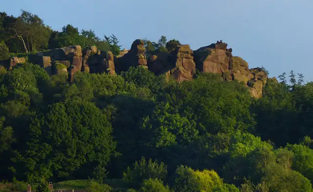
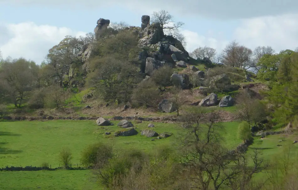
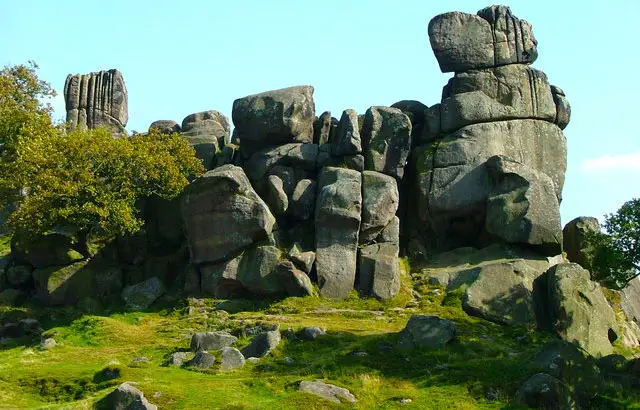
This lovely walk starts at the fascinating Arkwright Mill (also known as Cromford Mill) and then climbs across countryside up to 'The Black Rocks'. Here you can look across the beautiful Derwent Valley to the remains of Riber Castle, Crich Stand and the Derwent Gorge to Matlock.
From here, the rest of the walk is mainly downhill travelling along the High Peak Trail, through pleasant forest paths and finally onto the path alongside the Cromford Canal back to Cromford Wharf.
For refreshments, there is a cafe at Arkwright Mill plus further pubs and cafes at Cromford.
The paths may be muddy and slippery after wet weather.
Based on 5 user ratings
A very popular walk
Very dog friendly
Reasonable paths
Hard going with a buggy
Very limited access
Good facilities
Good stop on route
Mostly accurate
Real feedback from people who have completed this walk using the Derbyshire Walks app.
First-hand experiences
First time user, after a stuttery start it was was terrific tool. Very well plotted and easy to follow route. Felt safe as a lone, female walker. While the paths were excellent, however, lack of signposts made it a bit of challenge finding them, especially when to the signal dropped. Many thanks to all involved in delivering this app. (Note from developer: So glad you enjoyed it! FYI the app doesn’t use phone signal at all, so the signal dropping won’t stop the navigation working at all)
Lovely cafe at Wheatcroft wharf, but little on the actual walk. Lots of interesting things to read, great views, very steep in patches
Comments from walkers who have completed the Cromford walk.
Time for a stop
Navigate the walks
The easiest way to follow this route is with the Derbyshire Walks app. Choose the walk and follow the pointer showing your live position on the route map, so you can see you're on the right path.
The app works without a phone signal, so you can keep following the route wherever the walk takes you.

Explore the area
 1-2.25 miles
 5.25 miles
 5.25-6.5 miles
 1 miles
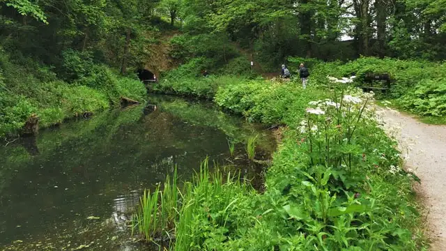 3.25-5.25 miles
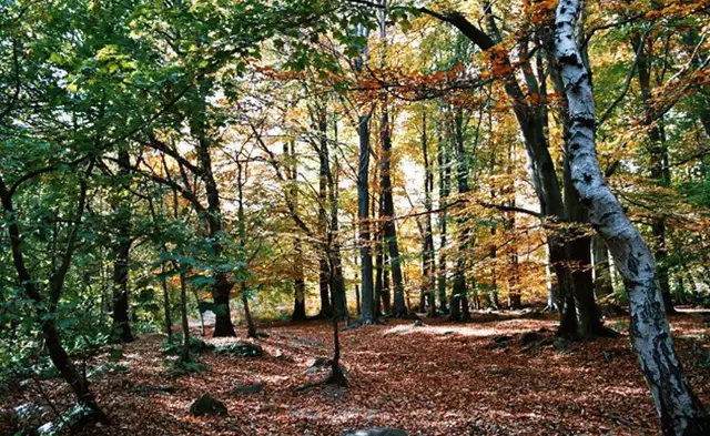 2-5.25 miles
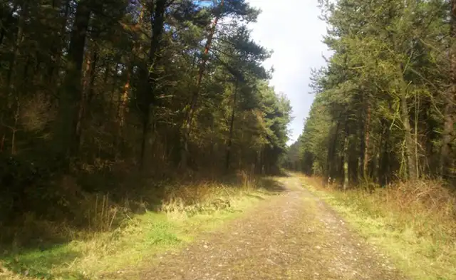 1.5-4.25 miles
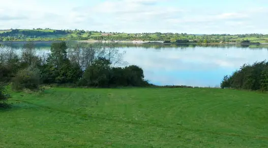 4.25-8.5 miles
 1.75-2.75 miles
 1-9.25 miles
 4.5-8 miles
 3.25 miles
 2.25-3 miles
 1.5-3 miles
 3.5-7 miles
Explore the county
See where the walks start, explore the area and tap a pin to find a route for your next adventure.
Search Derbyshire walks