

Derbyshire Walks

The 3 best Matlock Walks

Matlock walk, Derbyshire
Matlock · Photo: Nikki Mahadevan

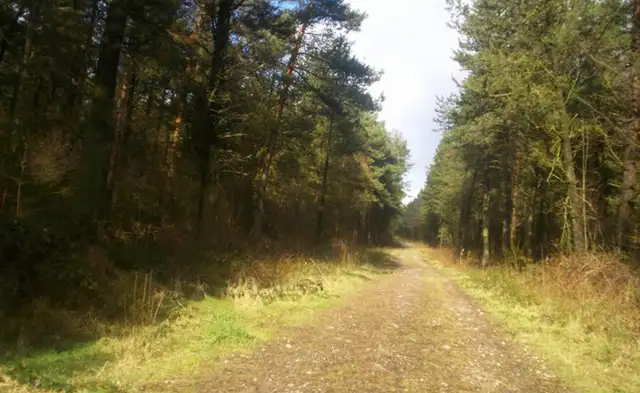
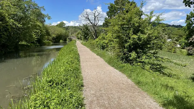
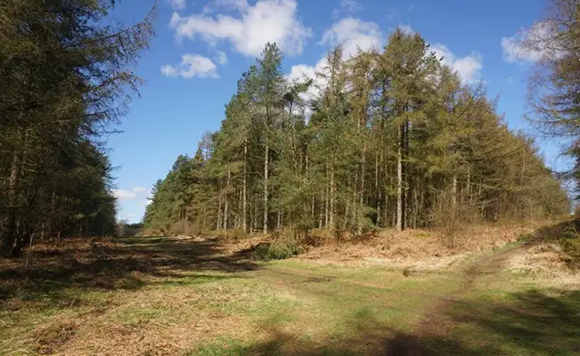
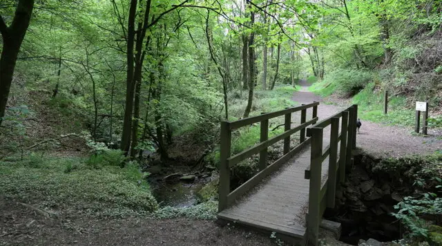
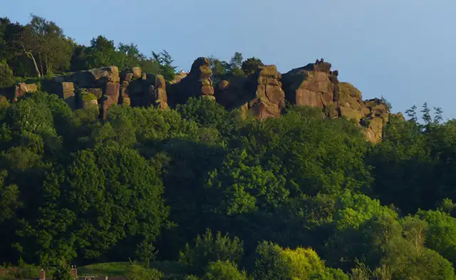
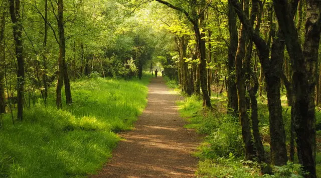
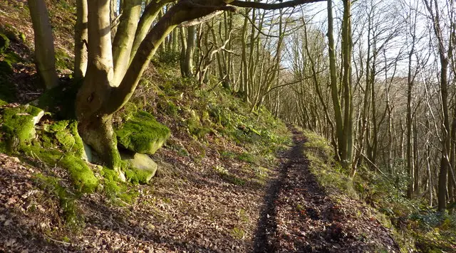
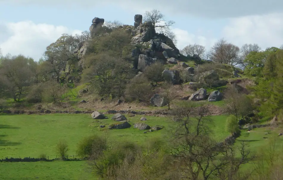
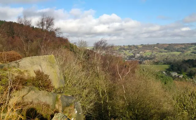
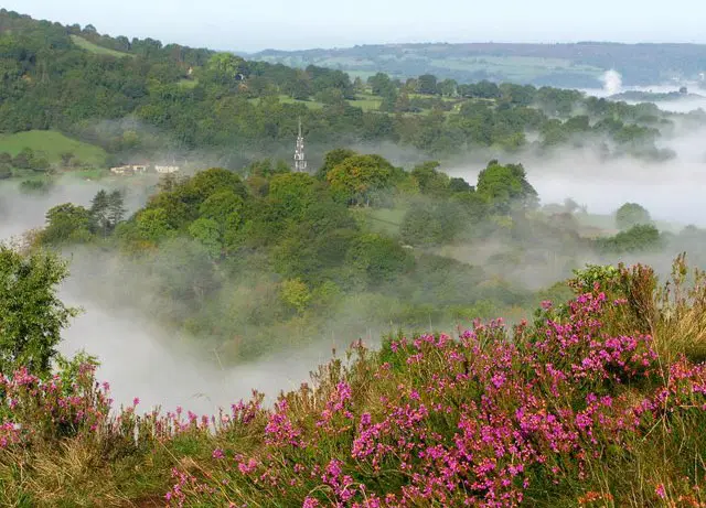
Matlock is located on the edge of the Peak District in Derbyshire. It’s surrounded by beautiful scenery and is a popular place to walk and explore.

Here are our best 3 Matlock walks on the Derbyshire Walks app.

Download the Derbyshire Walks App to follow these routes with real-time GPS navigation.

Download on the App Store Get it on Google Play

On a computer? Scan the QR code with your phone's camera to get the Derbyshire Walks app.

Walk information

Matlock Walk 1

Walk distance
5¼ miles
Time
3.5 hours
Route type
Circular

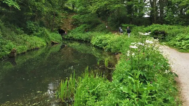
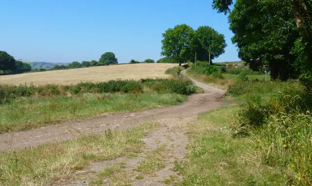
This strenous and hilly walk follows the River Derwent south out of Matlock before crossing the river and ascending steeply to the Heights of Abraham. The Heights of Abraham is a park including a network of caverns and a hilltop estate.

A fee applies to enter the attraction and exceptional views are available on a clear day from the top. From there it is a short descent back to the car park.

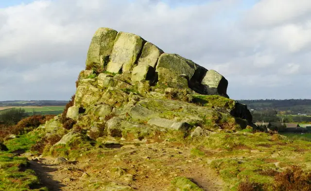
About a third of the way around the route, there is a short detour to 'Giddy Edge' which is a scary cliff edge path section - this is only for the brave.

We haven't taken this route actually along Giddy Edge, but it passes close and as there are still cliff edges around this area, please be very careful at all times.

Walk information

Matlock Walk 2

Walk distance
6½ miles
Time
4 hours
Route type
Circular

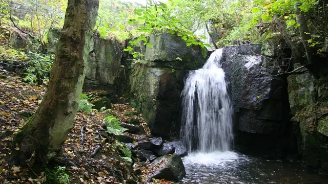
This alternative longer walk heads out of Matlock along the River Derwent and on to the Heights of Abraham (see route 1 for details of Heights of Abraham) but then follows the Limestone Way for a longer but more gradual return to the car park.

About a fifth of the way around the route, there is a short detour to 'Giddy Edge' which is a scary cliff edge path section - this is only for the brave.

We haven't taken our route actually along Giddy Edge, but it passes close and as there are still cliff edges around this area, please be very careful at all times.
This is also a very hilly and strenuous walk with lots of steep climbing, to please go prepared with the energy, clothing and refreshments you need to tackle this adventure.

These Matlock walks start at coordinates: 53.139079, -1.558935

Navigate the walks

Derbyshire Walks App

Follow the Matlock walks with GPS guidance

It's like sat-nav, but for footpaths.

Choose a walk and follow the pointer showing your live position on the route map, so you always know you're on the right path.

The app works without a phone signal, so you can keep following the route wherever the walk takes you.

Download the app

Download on the App Store Get it on Google Play

On a computer? Scan the QR code with your phone's camera to get the Derbyshire Walks app.

Derbyshire Walks app showing the walker's live position on a route map

Designed to be simple

  • Choose a walk and follow the pointer
  • See your live position on the route map
  • Works without a phone signal
  • Includes 250 Derbyshire walks
  • Free one-month trial
  • Available for iPhone and Android

Explore the area

Nearby walks

Explore the county

Derbyshire walks map

Map data © OpenStreetMap contributors

Search Derbyshire walks

See where the walks start, explore the area and tap a pin to find a route for your next adventure.

Search Derbyshire walks
Expanded route map for Matlock Walk 2, a 6.5 mile circular walk in Derbyshire