

Derbyshire Walks

Whatstandwell Walks & Route Maps

Whatstandwell walk, Derbyshire
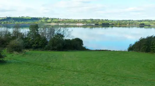
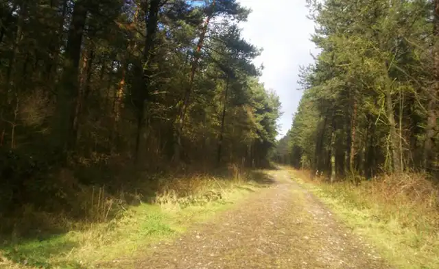
Whatstandwell · Photo: Chris Morgan

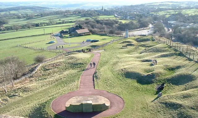
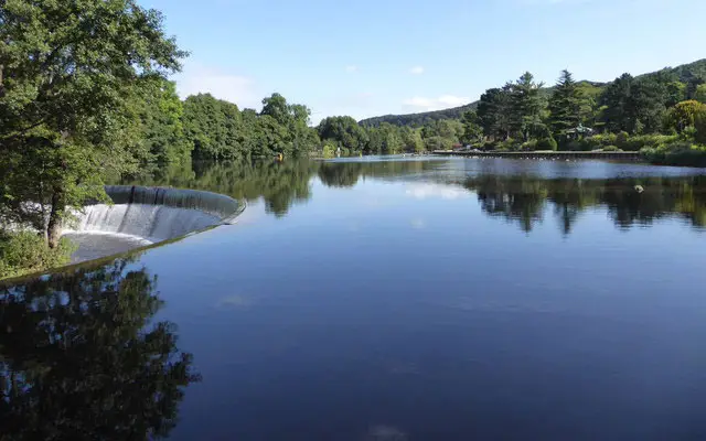
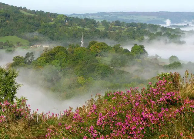
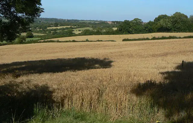
These walks start from Whatstandwell in the Derwent Valley, linking wooded hillside paths with stretches along historic waterways and former transport routes.

Both routes pass through Oxhay Wood and meet the Cromford Canal, while the longer walk also climbs toward Round Wood Hill and connects with the Midshires Way and High Peak Trail, before dropping down to follow the River Derwent and return via the valley.

Download the Derbyshire Walks App to follow these routes with real-time GPS navigation.

Download on the App Store Get it on Google Play

Walk information

Whatstandwell Walk 1

Walk distance
3¼ miles
Time
1.5 hours
Route type
Circular

This short but strenuous walk from Whatstandwell explores the wooded slopes above the Derwent Valley.

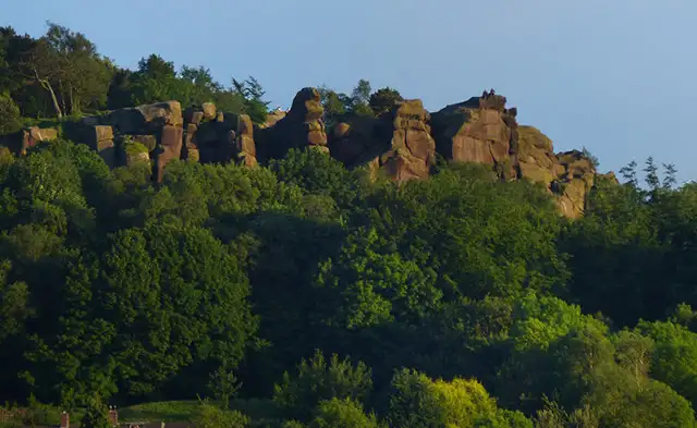
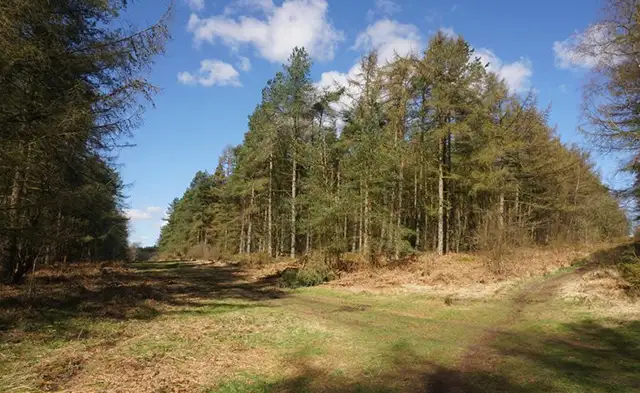
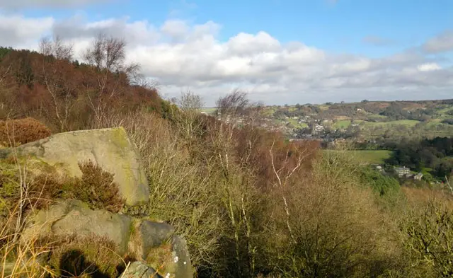
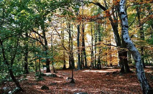
Paths pass through Oxhay Wood, where mixed woodland clings to the hillside and offers glimpses across the surrounding countryside.

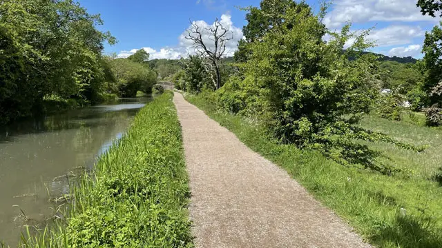
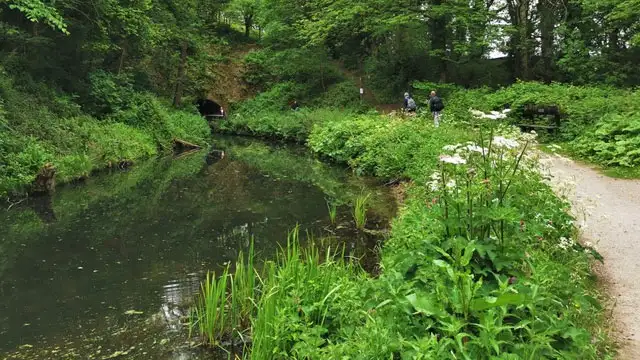
The route later links with the Cromford Canal, one of the earliest canals of the Industrial Revolution, opened in 1794 to move goods between the valley’s mills and the wider canal network.

A café along the way provides a welcome break, making this a rewarding little route with a mix of woodland, history, and waterside scenery.

Whatstandwell Walk 1 No ratings yet Be the first - rate this walk in the Derbyshire Walks App

Walk information

Whatstandwell Walk 2

Walk distance
5¼ miles
Time
2.5 hours
Route type
Circular

This much longer walk from Whatstandwell explores both the high ground and historic waterways of the Derwent Valley.

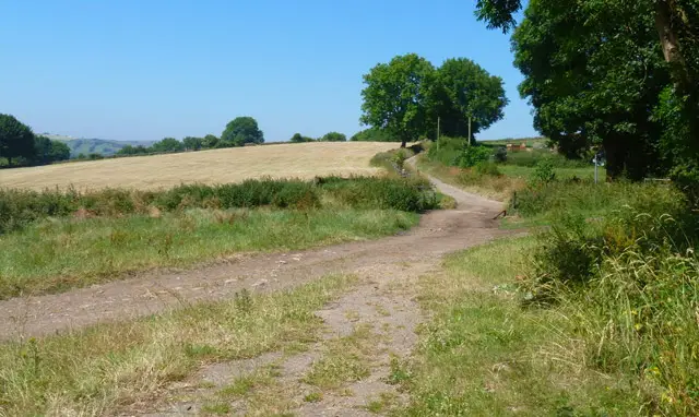
The route climbs toward Round Wood Hill before linking with sections of the Midshires Way and the High Peak Trail, a former railway that once carried goods across the Peak District.

Down in the valley, the walk passes High Peak Junction, where the Cromford Canal once met the Cromford and High Peak Railway.

Paths then follow stretches of the River Derwent and the Derwent Valley Heritage Way before returning through Oxhay Wood on the valley slopes.

With some steep sections and plenty of history along the way, it’s a rewarding hike through one of Derbyshire’s most distinctive landscapes.

Whatstandwell Walk 2 5.0 Ratings and reviews 1 rating

Based on 1 user rating

Community feedback

Overall rating5.0

An outstanding walk

Dog friendly5.0 / 5
Path condition5.0 / 5
Buggy friendly1.0 / 5
Wheelchair friendly1.0 / 5
Toilet facilities1.0 / 5
Pub or café5.0 / 5
Route accuracy5.0 / 5
ClimbingSome climbing
LivestockRarely any livestock
StilesA few stiles on route
Mud levelWellies when wet

Real feedback from people who have completed this walk using the Derbyshire Walks app.

Navigate the walks

Derbyshire Walks App

Follow the Whatstandwell walks with GPS guidance

It's like sat-nav, but for footpaths.

Choose a walk and follow the pointer showing your live position on the route map, so you always know you're on the right path.

The app works without a phone signal, so you can keep following the route wherever the walk takes you.

Download the app

Download on the App Store Get it on Google Play
Derbyshire Walks app showing the walker's live position on a route map

Designed to be simple

  • Choose a walk and follow the pointer
  • See your live position on the route map
  • Works without a phone signal
  • Includes 250 Derbyshire walks
  • Free one-month trial
  • Available for iPhone and Android

Explore the area

Nearby walks

Explore the county

Derbyshire walks map

Map data © OpenStreetMap contributors

Search Derbyshire walks

See where the walks start, explore the area and tap a pin to find a route for your next adventure.

Search Derbyshire walks
Expanded route map for Whatstandwell Walk 1, a 3.25 mile circular walk in Derbyshire