
At a glance
Matlock Bath Walk
- Distance
- 5.25 miles
- Estimated time
- 3 hours
- Route type
- Circular
- GPS app guided
- Yes
- Parking
- Artists Corner Car Park 53.13126, -1.55935
- Characteristics
- Woodland, Hills, Countryside, Pub
- Ascent
- 350 m
Derbyshire Walks
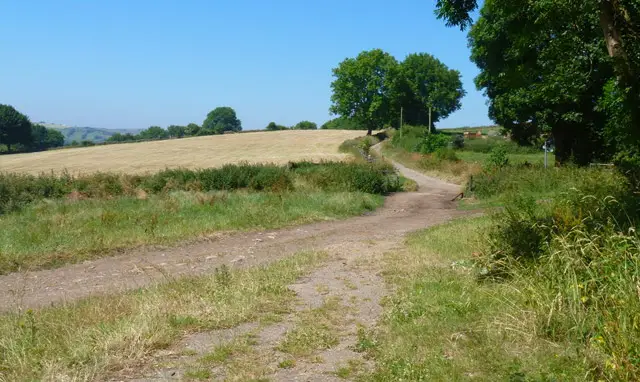
This walk climbs high above Matlock Bath for superb views across the dramatic Matlock Gorge and towards the White Peak.
This walk weaves through woodland, meadows and old lead-mining landscapes to the village of Bonsall, offering a varied and energetic day out with plenty of rewarding scenery.
Download the Derbyshire Walks App to follow this route with real-time GPS navigation.


At a glance
The walk
This is an enjoyable and energetic walk that climbs high above Matlock Bath, rewarding you with some wonderful views across Matlock Gorge and the surrounding countryside.
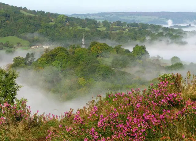
The walk begins by passing St John's Chapel before climbing through woodland, where you'll catch a glimpse of the Victoria Prospect Tower, part of the Heights of Abraham attraction.
The route then reaches open meadows on higher ground, with far-reaching views towards the White Peak, before continuing to the old lead-mining village of Bonsall. Here you'll pass the village's interesting church, and a short detour into the centre of Bonsall gives you a choice of two pubs for refreshments.
The remainder of the walk offers plenty of variety, passing old mine workings and quarries before crossing farmland and heading through some lovely sections of woodland.
If you have time, you could also make a short detour to Cromford to explore Cromford Mills and the canal, or take a trip on the cable car to the Heights of Abraham. Check their websites for current opening times and visitor information.
There is a fair amount of climbing on this route, and you'll need to cross a busy road near the start of the walk, so take care when crossing.
Time for a stop
Navigate the walks
The easiest way to follow this route is with the Derbyshire Walks app. Choose the walk and follow the pointer showing your live position on the route map, so you can see you're on the right path.
The app works without a phone signal, so you can keep following the route wherever the walk takes you.

Explore the area
 5.25-6.5 miles
 4.5 miles
 1-2.25 miles
 1.5-4.25 miles
 1.75-2.75 miles
 1 miles
 3.25-5.25 miles
 2.25-3 miles
 3.25 miles
 2-5.25 miles
 3.5-7 miles
 0.25 miles
 1-9.25 miles
 1.5-3 miles
 4.25-8.5 miles
Explore the county
See where the walks start, explore the area and tap a pin to find a route for your next adventure.
Search Derbyshire walks