

Derbyshire Walks

Black Rocks Walks & Route Maps

Black Rocks walk, Derbyshire
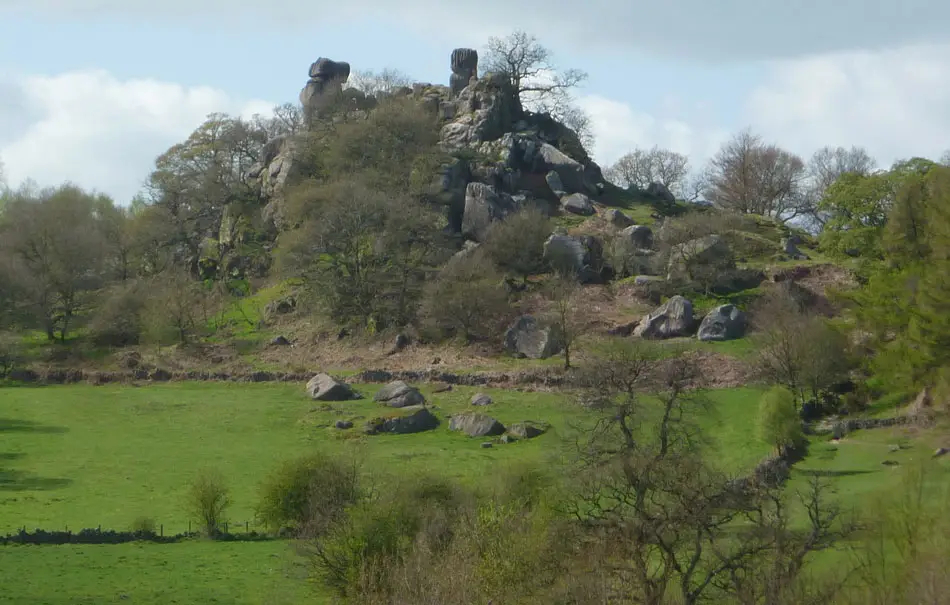
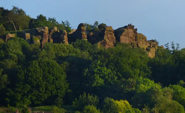
Black Rocks · Photo: Chris Gunns

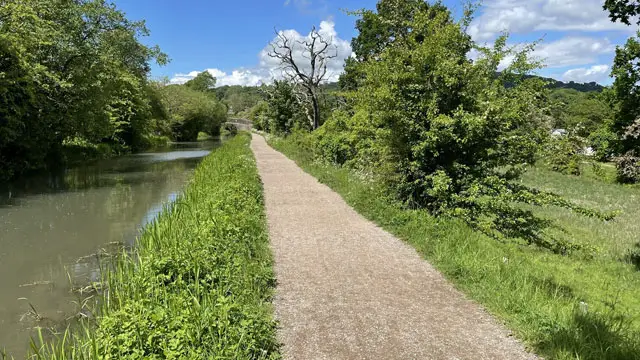
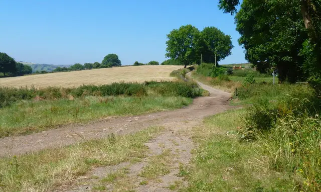
These walks around Black Rocks explore one of the southern Peak District’s best-known gritstone landscapes, with routes that combine rocky outcrops, open moorland and steeper hillside paths.

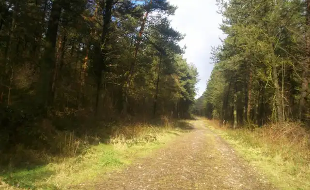
The walks pass beneath the towering formations of Black Rocks and across Cromford Moor, while the longer route also links into the historic High Peak Trail and surrounding woodland around Bone Hill, adding a mix of industrial history and upland scenery to the walk.

Download the Derbyshire Walks App to follow these routes with real-time GPS navigation.

Download on the App Store Get it on Google Play

Walk information

Black Rocks Walk 1

Walk distance
1 mile
Time
30 mins
Route type
Circular

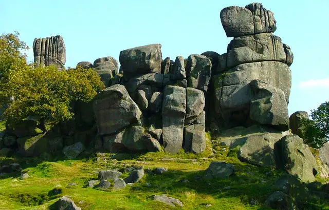
This short but punchy walk follows the waymarked Green Route around the dramatic gritstone edges of Black Rocks.

The towering Millstone Grit outcrops rise above the Derwent Valley and have become one of the most recognisable natural landmarks in the southern Peak District.

The route also crosses part of Cromford Moor, where the tough gritstone geology shapes the rugged upland landscape.

With some steep sections along the way, it’s a small adventure with plenty of character.

Black Rocks Walk 1 No ratings yet Be the first - rate this walk in the Derbyshire Walks App

Walk information

Black Rocks Walk 2

Walk distance
2¼ miles
Time
1 hour
Route type
Circular

This longer route option follows the waymarked Blue Route, exploring more of the rugged countryside around Black Rocks.

The dramatic gritstone formations overlook the Derwent Valley, while nearby paths link with the historic High Peak Trail, which follows the route of the 19th-century Cromford and High Peak Railway.

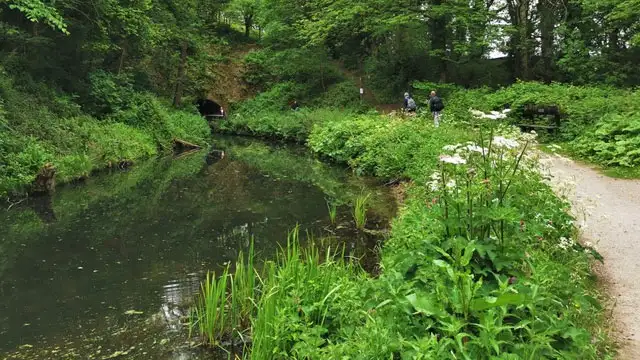
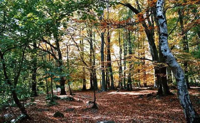
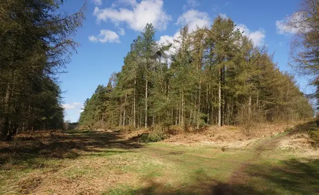
The route also weaves through Forestry England woodland and across the exposed slopes of Bone Hill and Cromford Moor.

Black Rocks Walk 2 No ratings yet Be the first - rate this walk in the Derbyshire Walks App

Navigate the walks

Derbyshire Walks App

Follow the Black Rocks walks with GPS guidance

It's like sat-nav, but for footpaths.

Choose a walk and follow the pointer showing your live position on the route map, so you always know you're on the right path.

The app works without a phone signal, so you can keep following the route wherever the walk takes you.

Download the app

Download on the App Store Get it on Google Play
Derbyshire Walks app showing the walker's live position on a route map

Designed to be simple

  • Choose a walk and follow the pointer
  • See your live position on the route map
  • Works without a phone signal
  • Includes 250 Derbyshire walks
  • Free one-month trial
  • Available for iPhone and Android

Explore the area

Nearby walks

Explore the county

Derbyshire walks map

Map data © OpenStreetMap contributors

Search Derbyshire walks

See where the walks start, explore the area and tap a pin to find a route for your next adventure.

Search Derbyshire walks
Expanded route map for Black Rocks Walk 1, a 1 mile circular walk in Derbyshire