

Derbyshire Walks

Higger Tor Walk and Map

Higger Tor walk, Derbyshire
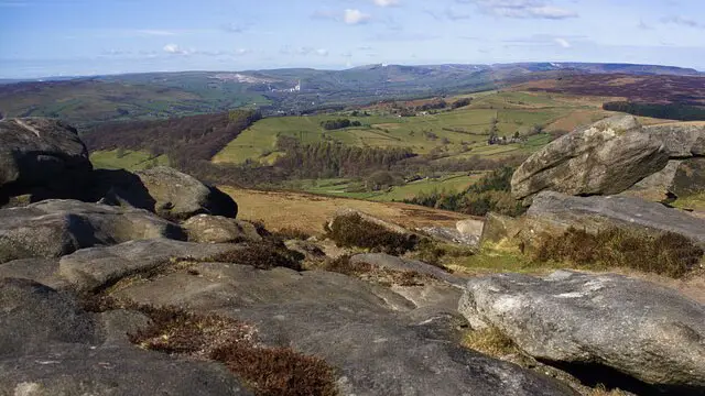
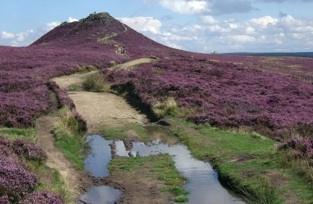
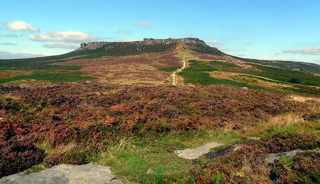
Higger Tor · Photo: Brian Frost

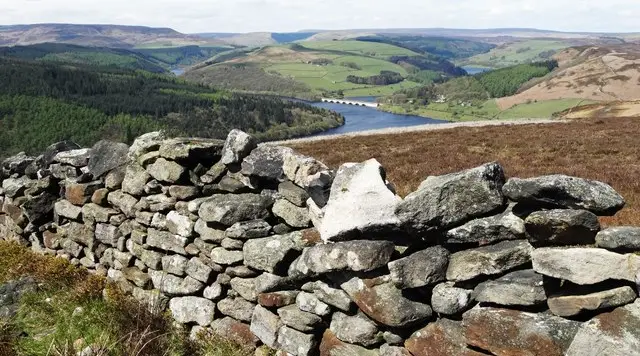
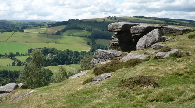
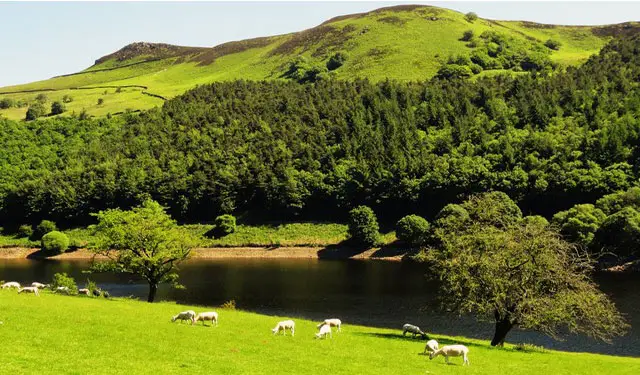
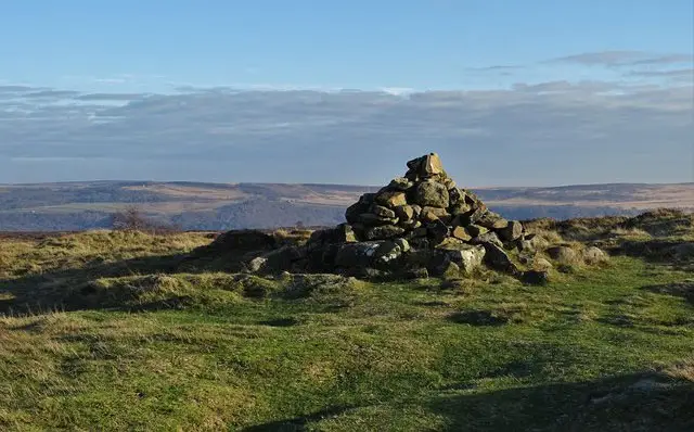
Higger Tor is a large gritstone rock formation in the north of the Peak District National Park. The climb up to the top will reward you with fantastic views over the Burbage Valley and across the Derbyshire countryside. Here are 5 Higger Tor walks on the Derbyshire Walks App ranging from 1.5 miles to 6 miles in length.

Download the Derbyshire Walks App to follow these routes with real-time GPS navigation.

Download on the App Store Get it on Google Play

On a computer? Scan the QR code with your phone's camera to get the Derbyshire Walks app.

Walk information

Higger Tor Walk 1

Walk distance
1½ miles
Time
1 hour
Route type
Circular

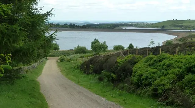
A lovely short walk that will take you along the side and then to the top of the valley and a short climb up to Higger Tor. Stand at the top and admire the gorgeous views back the valley.

From here you will return back to the car park along the top of the valley enjoying views all the way. Wonderful.

Walk information

Higger Tor Walk 2

Walk distance
2¾ miles
Time
1.5 hours
Route type
Circular

A fairly short walk which makes an excellent half days stroll especially for anyone who has not walked in this area before. Carl Wark and Higger Tor are the two features which dominate this walk and are intriguing places to explore.

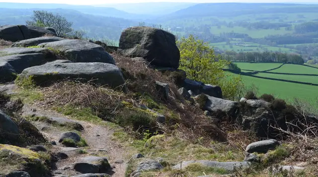
The walk travels along the top of two edges with good clear paths and the views are wide-ranging stretching across the moors to the Hope Valley and the prominent Win Hill. In Autumn, the ferns turn brown and the rocky outcrops and edges stand out magnificently.

There is a short steep climb and you may need to do a bit of scrambling but this iswithin the capability of anyone who is reasonably fit.

Walk information

Higger Tor Walk 3

Walk distance
3¼ miles
Time
2 hours
Route type
Circular

This wonderful walk will give you a real taste of walking in the Dark Peak with its feeling of remoteness, dramatic outcrops, gritstone and heather moors.

Although a high level walk, it is fairly easy to do and has plenty of interest. You will pass Cowper Stone on your right before travelling a short there and back route along Stanage Edge to Robin Hood's Cave.

From there you will walk to Higger Tor itself and then back along Fiddler's Elbow back to the start.

There are a couple of climbs and descents but nothing too demanding.

Walk information

Higger Tor Walk 4

Walk distance
4 miles
Time
2.5 hours
Route type
Circular

This is a lovely walk. There are some stunning views from the top of Higger Tor but can be a little tricky coming down. Heathersage Moor has delightful ferns, cotton grass and wildflowers.

After walking up Higger Tor you will experience Carl Wark, a prehistoric fort. The return to the start point follows a wonderful edge which overlooks the eastern side of the valley.

Walk information

Higger Tor Walk 5

Walk distance
6½ miles
Time
3.5 hours
Route type
Circular

Filming for many of the stunning outdoor scenes from the BBC's acclaimed 2006 version of Jayne Eyre were shot on Stanage Edge, the four-mile escarpment above Hathersage.

This reasonably long walk is quite challenging with quite steep descents and ascents but very rewarding with plenty of interest and wonderful views. The path travels alongside Birching Wood and then climbs up to the Sheffield Country Walk taking you back to the car park.

Refreshments are available at the Scotman's Pack country pub in nearby Hathersage.

These Higger Tor walks start at coordinates: 53.343147, -1.610389

Navigate the walks

Derbyshire Walks App

Follow the Higger Tor walks with GPS guidance

It's like sat-nav, but for footpaths.

Choose a walk and follow the pointer showing your live position on the route map, so you always know you're on the right path.

The app works without a phone signal, so you can keep following the route wherever the walk takes you.

Download the app

Download on the App Store Get it on Google Play

On a computer? Scan the QR code with your phone's camera to get the Derbyshire Walks app.

Derbyshire Walks app showing the walker's live position on a route map

Designed to be simple

  • Choose a walk and follow the pointer
  • See your live position on the route map
  • Works without a phone signal
  • Includes 250 Derbyshire walks
  • Free one-month trial
  • Available for iPhone and Android

Explore the area

Nearby walks

Explore the county

Derbyshire walks map

Map data © OpenStreetMap contributors

Search Derbyshire walks

See where the walks start, explore the area and tap a pin to find a route for your next adventure.

Search Derbyshire walks
Expanded route map for Higger Tor Walk 1, a 1.5 mile circular walk in Derbyshire