

Derbyshire Walks

Derwent Moors Walks & Route Maps

Derwent Moors walk, Derbyshire
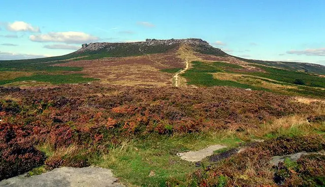
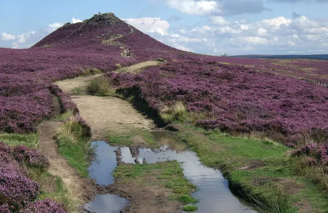
Derwent Moors · Photo: Dave Hudson

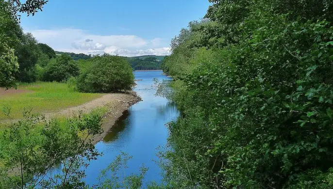
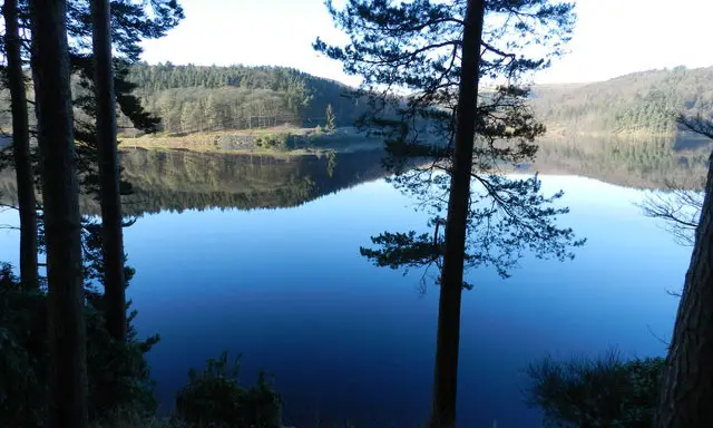
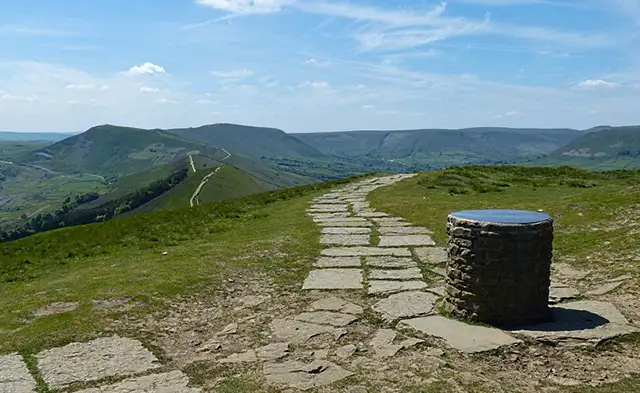
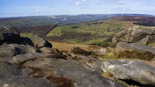
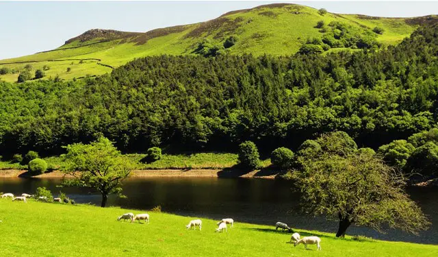
Set high above the Hope Valley, these walks explore the wild beauty of the Derwent Moors, with big skies, open moorland and sweeping reservoir views.

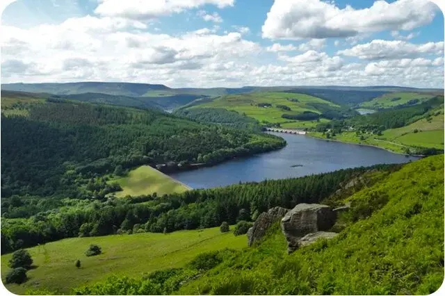
All three routes include steady climbs and descents, skirting the edge of Ladybower Woods and looking out across Ladybower Reservoir.

The shorter options still provide a satisfying challenge, while the longest of the walks ventures along Derwent Edge to Back Tor before looping back via Strines and Dale Dike Reservoirs.

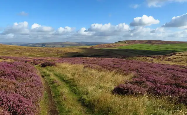
With remote moorland, seasonal wildflowers and far-reaching views throughout, these walks are ideal for those seeking a rewarding and invigorating day in the Peak District.

Download the Derbyshire Walks App to follow these routes with real-time GPS navigation.

Download on the App Store Get it on Google Play

Walk information

Derwent Moors Walk 1

Walk distance
3¼ miles
Time
2 hours
Route type
Circular

This is a shorter version of the next walk which although slightly shorter will still give you a challenging uphill climb and steep descent, the delights of remote Moreland and the wonderful nature reserve at Ladybower Woods.

You will need to cross a main road from the car park at the start and end of the walk. For refreshments, there is The Yorkshire Bridge Inn, and the Ladybower Inn nearby, or the Ladybower Cafe.

Derwent Moors Walk 1 4.0 Ratings and reviews 2 ratings

Based on 2 user ratings

Community feedback

Overall rating4.0

A very popular walk

Dog friendly4.5 / 5
Path condition4.0 / 5
Buggy friendly1.5 / 5
Wheelchair friendly3.5 / 5
Toilet facilities1.5 / 5
Pub or café3.0 / 5
Route accuracy5.0 / 5
ClimbingSteep climbs
LivestockLivestock likely
StilesA stile or two
Mud levelBoots recommended

Real feedback from people who have completed this walk using the Derbyshire Walks app.

Walk information

Derwent Moors Walk 2

Walk distance
4¼ miles
Time
2.5 hours
Route type
Circular

This is a lovely circular walk which is near Hope and the Hope Valley. There is plenty of variety which includes some quite steep climbs and descents, travelling along the edge of Ladybower Woods (a nature reserve), grassy paths and remote moorland.

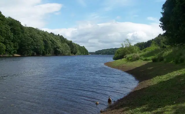
In the spring and summer there are lovely wild flowers and birdsong to admire. There are wonderful views over the river and reservoir.

For refreshments, there is The Yorkshire Bridge Inn, and the Ladybower Inn nearby, or the Ladybower Cafe.
You will need to cross a main road from the car park at the start and end of the walk.

Derwent Moors Walk 2 No ratings yet Be the first - rate this walk in the Derbyshire Walks App

Walk information

Derwent Moors Walk 3

Walk distance
9½ miles
Time
5.5 hours
Route type
Circular

This is quite a long strenuous walk but it is well worth doing and will give you some amazing views along the valley and over the reservoir. It travels along the Derwent Edge and on to the summit of Back Tor. The walk then descends along the Foulstone Road track to Strines and Dale Dike Reservoirs.

A final climb is needed at the end of the walk which will take you back to the path back to the car park. You will need to cross a main road from the car park at the start and end of the walk.

To reward yourself with some food and drink after this epic walk, there is The Yorkshire Bridge Inn or the Ladybower Inn nearby, or the Ladybower Cafe.
Derwent Moors Walk 3 5.0 Ratings and reviews 1 rating · 1 review

Based on 1 user rating

Community feedback

Overall rating5.0

An outstanding walk

Dog friendly0.0 / 5
Path condition5.0 / 5
Buggy friendly5.0 / 5
Wheelchair friendly1.0 / 5
Toilet facilities1.0 / 5
Pub or café0.0 / 5
Route accuracy5.0 / 5
ClimbingGentle slopes
LivestockLivestock likely
StilesA stile or two
Mud levelMay be muddy after wet weather

Real feedback from people who have completed this walk using the Derbyshire Walks app.

First-hand experiences

User reviews

Walker review

Great walk with some amazing views over Derwent, I coupled this with the walk round Dale Dyke for some extra views

Navigate the walks

Derbyshire Walks App

Follow the Derwent Moors walks with GPS guidance

It's like sat-nav, but for footpaths.

Choose a walk and follow the pointer showing your live position on the route map, so you always know you're on the right path.

The app works without a phone signal, so you can keep following the route wherever the walk takes you.

Download the app

Download on the App Store Get it on Google Play
Derbyshire Walks app showing the walker's live position on a route map

Designed to be simple

  • Choose a walk and follow the pointer
  • See your live position on the route map
  • Works without a phone signal
  • Includes 250 Derbyshire walks
  • Free one-month trial
  • Available for iPhone and Android

Explore the area

Nearby walks

Explore the county

Derbyshire walks map

Map data © OpenStreetMap contributors

Search Derbyshire walks

See where the walks start, explore the area and tap a pin to find a route for your next adventure.

Search Derbyshire walks
Expanded route map for Derwent Moors Walk 1, a 3.25 mile circular walk in Derbyshire