

Derbyshire Walks

Stanage Edge Walk and Route Map

Walks around Hathersage, plus a route map, Derbyshire
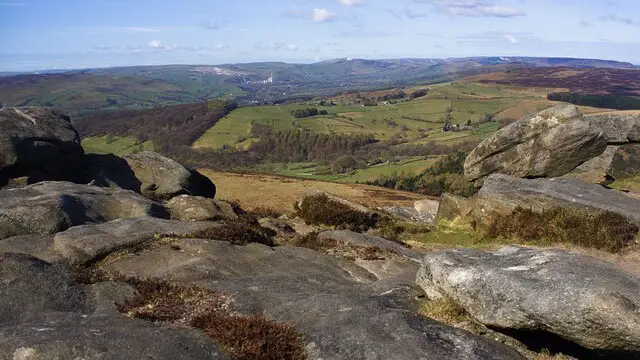
Walks around Hathersage, plus a route map · Photo: Graham Hogg

If you’re looking for the best walks at Stanage Edge, these three circular routes are a fantastic way to explore one of the most dramatic landscapes in the Peak District National Park.

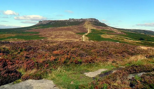
Stanage Edge is an impressive gritstone escarpment stretching for around four miles above Hathersage, with dramatic rocky outcrops, open heather moorland and wonderful views across the surrounding Dark Peak countryside.

Our three Stanage Edge walks offer a choice of distances and difficulty, from a relatively easy high-level route to a much longer and more strenuous adventure. Along the way you can explore some of the area’s best-known landmarks, including Cowper Stone, Robin Hood’s Cave and Higger Tor.

Download the Derbyshire Walks App to follow these routes with real-time GPS navigation.

Download on the App Store Get it on Google Play

On a computer? Scan the QR code with your phone's camera to get the Derbyshire Walks app.

Walk distance
3¼ miles
Time
2 hours
Route type
Circular

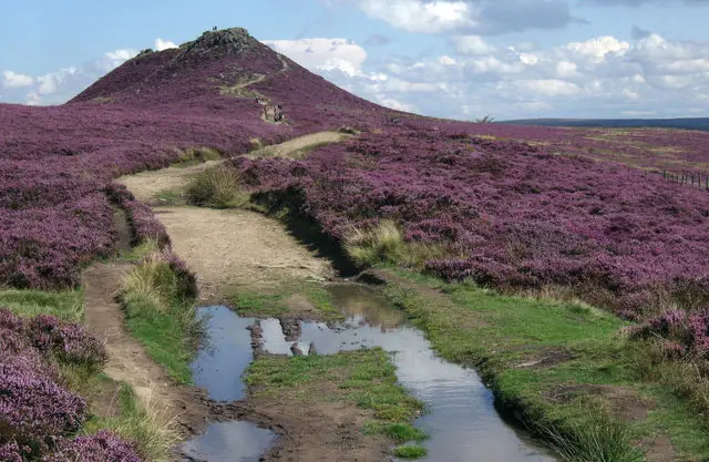
This first route gives you a real taste of walking in the Dark Peak, with its feeling of remoteness, dramatic gritstone outcrops and beautiful open heather moorland.

Despite being a high-level walk, the route is relatively easy and has plenty of interest along the way. You’ll pass the distinctive Cowper Stone before following a short there-and-back section along Stanage Edge to Robin Hood’s Cave.

From here, the walk continues towards Higger Tor before looping back via Fiddler’s Elbow to the start.

There are a couple of climbs and descents along the way, but nothing too demanding, making this a great option for experiencing some of the highlights of the area without taking on one of the longer routes.

View the walk and route map
Walk distance
6½ miles
Time
3.5 hours
Route type
Circular

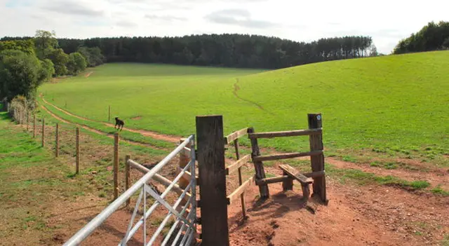
This second route is a longer and more challenging way to explore Stanage Edge, with some steep climbs and descents but plenty of wonderful scenery and views to reward your efforts.

Stanage Edge has provided the backdrop for a number of film and television productions, including outdoor scenes from the BBC’s acclaimed 2006 adaptation of *Jane Eyre*.

The route takes you through the dramatic surrounding countryside and alongside Birchen Wood before climbing to join the Sheffield Country Walk and eventually leading you back towards the car park.

After your walk, you can head into nearby Hathersage for some well-earned refreshments, including at the traditional Scotsman’s Pack country pub.

View the walk and route map
Walk distance
7¼ miles
Time
3.5 hours
Route type
Circular

If you want a truly epic adventure, this third route is our longest and most strenuous option, taking you through some wonderful landscapes in the Peak District National Park.

The walk initially heads east on a long climb towards the summit of the iconic Higger Tor. After enjoying the views from the top, you’ll continue north towards Upper Burbage Bridge before heading west towards White Path Moss.

From here, the route takes you along the top of the dramatic Stanage Edge, where you can enjoy some truly spectacular views across the surrounding Peak District countryside. There are significant drops from the Edge, so take particular care throughout this section and keep well away from exposed cliff edges.

After your adventure along Stanage Edge, the route heads back down through beautiful countryside towards the village, where you’ll find pubs and places to eat for some well-earned refreshments.

There is a short section alongside a fast road during the first part of the walk towards Higger Tor, so take particular care here.

This is a long and strenuous route through exposed upland countryside, so make sure you have suitable clothing and footwear, remain aware of changing weather conditions and take extra care around the rocky edges.

View the walk and route map

Navigate the walks

Derbyshire Walks App

Download the Derbyshire Walks app

It's like sat-nav, but for footpaths.

Choose a walk and follow the pointer showing your live position on the route map, so you always know you're on the right path.

The app works without a phone signal, so you can keep following the route wherever the walk takes you.

Download the app

Download on the App Store Get it on Google Play

On a computer? Scan the QR code with your phone's camera to get the Derbyshire Walks app.

Derbyshire Walks app showing the walker's live position on a route map

Designed to be simple

  • Choose a walk and follow the pointer
  • See your live position on the route map
  • Works without a phone signal
  • Includes 250 Derbyshire walks
  • Free one-month trial
  • Available for iPhone and Android

Explore the county

Derbyshire walks map

Map data © OpenStreetMap contributors

Search Derbyshire walks

See where the walks start, explore the area and tap a pin to find a route for your next adventure.

Search Derbyshire walks
Expanded route map for Stanage Edge & Robin Hood’s Cave