

Derbyshire Walks

Grindleford Walks & Route Maps

Grindleford walk, Derbyshire
Grindleford · Photo: Richard Vince

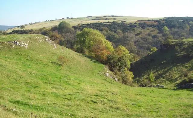
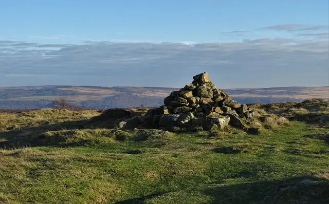
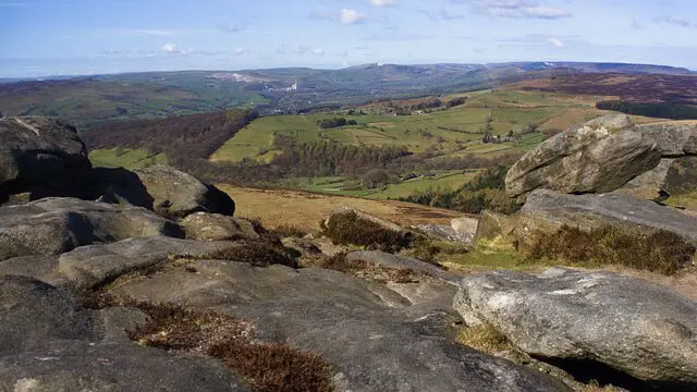
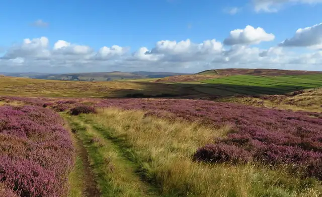
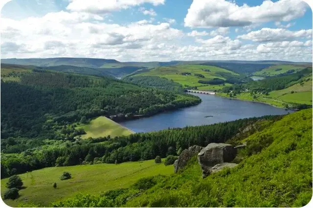
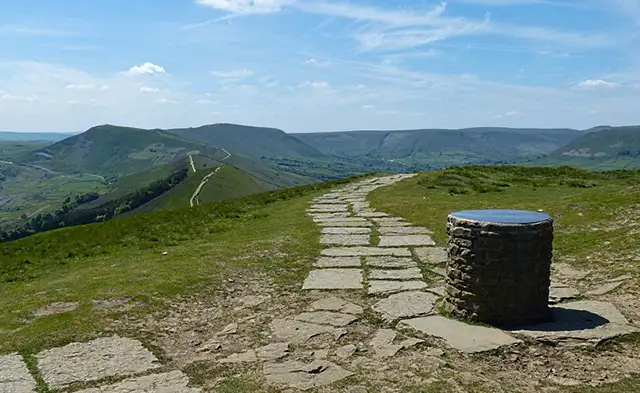
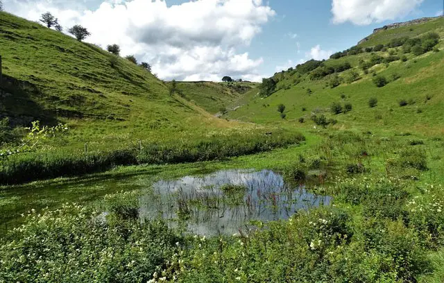
These walks take you through the valley landscape around Grindleford on the eastern edge of the Peak District, where the River Derwent winds between wooded slopes and steeper, rocky ground.

Both routes include sections along the river through Hay Wood, while the longer walk also visits the remains of Padley Manor and continues into higher ground above Nether Padley, with optional stops at Grindleford Station Café or the Grouse Inn along the way.

Download the Derbyshire Walks App to follow these routes with real-time GPS navigation.

Download on the App Store Get it on Google Play

Walk information

Grindleford Walk 1

Walk distance
2¾ miles
Time
1.5 hours
Route type
Circular

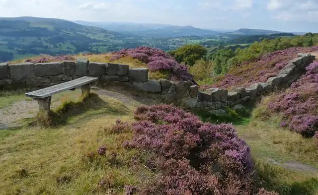
This lovely walk explores the wooded valley around Grindleford on the eastern edge of the Peak District.

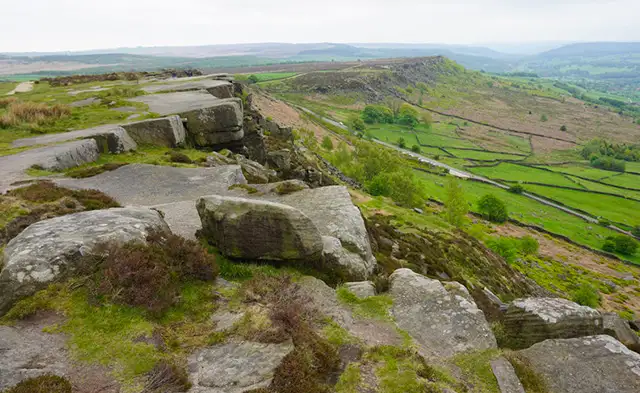
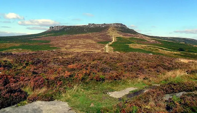
The landscape here is shaped by steep hillsides, rocky gritstone slopes, and woodland paths typical of the Derwent Valley.

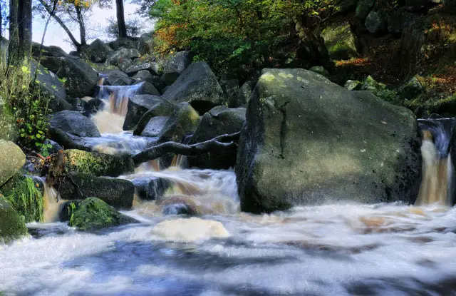
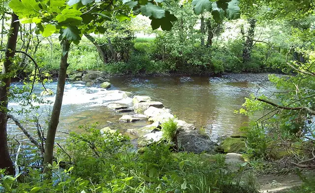
However, the highlight of this shorter route is the path tracking the River Derwent as it winds through the valley, one of the main rivers flowing through Derbyshire from the high moors toward the River Trent.

With a few steeper sections along the way, this route offers a pleasant stretch through riverside scenery and the wooded countryside surrounding the village.

Grindleford Walk 1 No ratings yet Be the first - rate this walk in the Derbyshire Walks App

Walk information

Grindleford Walk 2

Walk distance
4¾ miles
Time
2.5 hours
Route type
Circular

If you have a lot more time and energy, this longer Grindleford route explores much more of the wooded Derwent Valley and the rugged hills above it.

The walk follows pretty stretches near the River Derwent before passing the remains of Padley Manor, a 16th-century hall linked to the nearby hamlet of Nether Padley.

After that, you can expect a more adventurous outing, as you navigate steep climbs and rocky, uneven woodland trails in places on a gorgeous loop around this dramatic area.

There are optional detours that lead to a rocky viewpoint (please take care) and to the Grouse Inn for refreshments, while the café at Grindleford Station offers another welcome place to pause along the way.

Grindleford Walk 2 5.0 Ratings and reviews 1 rating

Based on 1 user rating

Community feedback

Overall rating5.0

An outstanding walk

Dog friendly3.0 / 5
Path condition4.0 / 5
Buggy friendly1.0 / 5
Wheelchair friendly1.0 / 5
Toilet facilities3.0 / 5
Pub or café4.0 / 5
Route accuracy5.0 / 5
ClimbingSome climbing
LivestockRarely any livestock
StilesA stile or two
Mud levelBoots recommended

Real feedback from people who have completed this walk using the Derbyshire Walks app.

Navigate the walks

Derbyshire Walks App

Follow the Grindleford walks with GPS guidance

It's like sat-nav, but for footpaths.

Choose a walk and follow the pointer showing your live position on the route map, so you always know you're on the right path.

The app works without a phone signal, so you can keep following the route wherever the walk takes you.

Download the app

Download on the App Store Get it on Google Play
Derbyshire Walks app showing the walker's live position on a route map

Designed to be simple

  • Choose a walk and follow the pointer
  • See your live position on the route map
  • Works without a phone signal
  • Includes 250 Derbyshire walks
  • Free one-month trial
  • Available for iPhone and Android

Explore the area

Nearby walks

Explore the county

Derbyshire walks map

Map data © OpenStreetMap contributors

Search Derbyshire walks

See where the walks start, explore the area and tap a pin to find a route for your next adventure.

Search Derbyshire walks
Expanded route map for Grindleford Walk 1, a 2.75 mile circular walk in Derbyshire