

Derbyshire Walks

Redmires Reservoir Walk and Route Maps

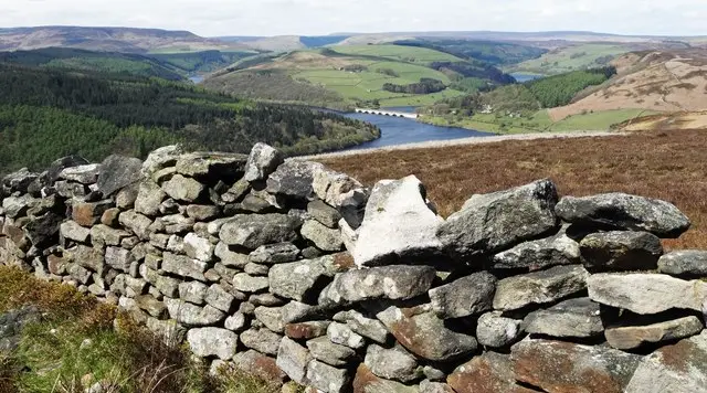
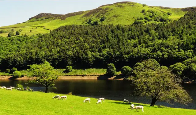
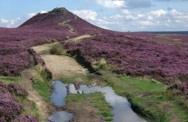
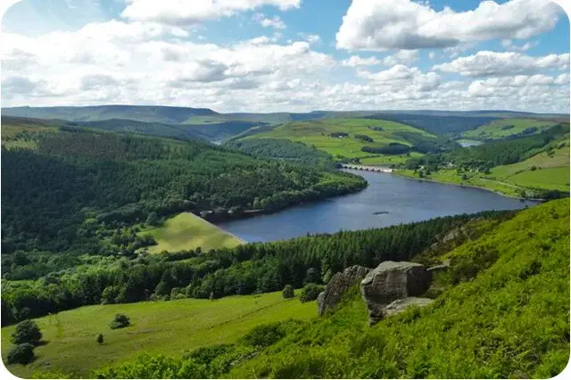
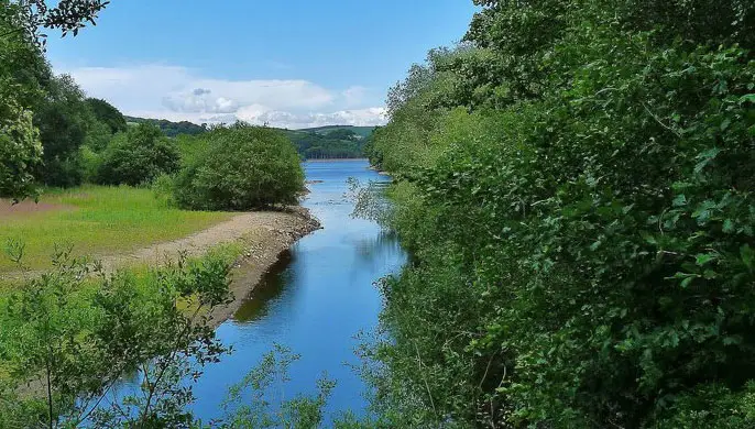
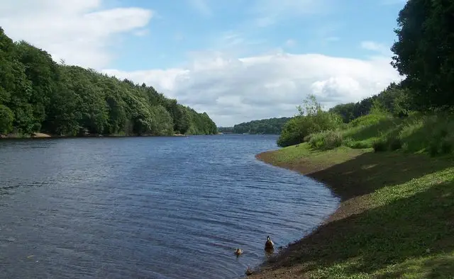
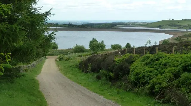
Redmires Reservoir with open heather moorland and wide skies on the edge of the Peak District
Redmires Reservoirs · Photo: Graham Hogg

The Redmires Reservoirs lie on the western edge of Sheffield, where the city gives way to the high moorland of the Peak District. Three Victorian reservoirs, Upper, Middle and Lower, were built between 1833 and 1854 to bring clean drinking water to a fast-growing Sheffield, and they still sit in a wide, open landscape of heather, streams and long views.

We have two circular walks on the Derbyshire Walks app, ranging from 2.7 to 4.5 miles. The shorter route is a gentle circuit of all three reservoirs, crossing Fairthorn Clough and Wyming Brook and passing Redmires Plantation, with water beside you for most of the way. It suits a relaxed outing with little climbing.

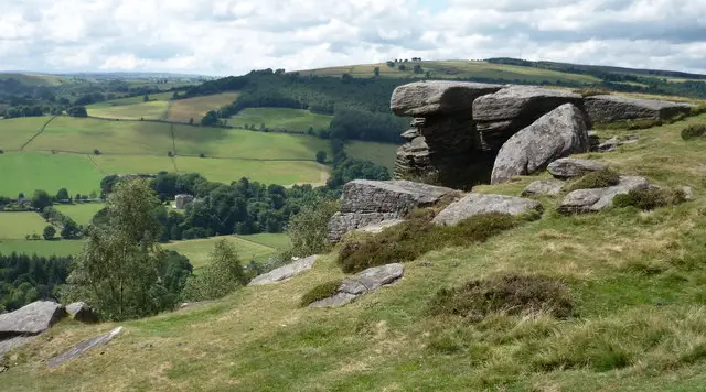
The longer walk heads up onto the moor to Stanedge Pole, an old boundary marker on the medieval Long Causeway, and then follows Stanage Edge, the famous gritstone escarpment loved by climbers. It returns past the preserved First World War training trenches on Quarry Hill and Hill 60 and finishes beside the Upper Reservoir. It has a steep early climb and exposed ground, so wear sturdy footwear and check the weather before you set out.

Download the Derbyshire Walks App to follow these routes with real-time GPS navigation.

Download on the App Store Get it on Google Play

On a computer? Scan the QR code with your phone's camera to get the Derbyshire Walks app.

Redmires Reservoirs walk 01

Redmires Reservoirs Circular Walk

Walk distance
2¾ miles
Time
1.5 hours
Route type
Circular

A gentle, mostly level circuit around the Redmires Reservoirs, with water beside you for almost the whole way.

It follows the Upper, Lower and Middle reservoirs in turn, three Victorian reservoirs built between 1833 and 1854 to bring clean drinking water to Sheffield after the cholera outbreak of 1832.

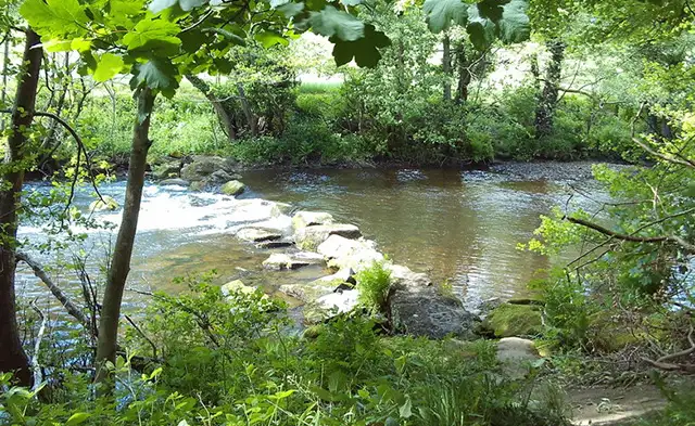
The walk begins on the old Long Causeway packhorse route and crosses Fairthorn Clough before reaching the Upper Reservoir. Further on it meets Wyming Brook, which tumbles down from the moor, and passes Redmires Plantation beside the water. Look out for the old intakes and conduits around the water's edge.

There is only a little climbing and it is a short, relaxed walk, with open moorland views throughout.

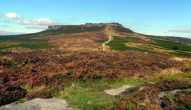
Redmires Reservoirs Circular Walk No ratings yet Be the first - rate this walk in the Derbyshire Walks App

Redmires Reservoirs walk 02

Redmires and Stanage Edge Walk

Walk distance
4½ miles
Time
2.5 hours
Route type
Circular

A higher, more exposed route that climbs from the Redmires Reservoirs onto the moor and along the famous gritstone of Stanage Edge. The walk begins with a steady, fairly steep pull up beside Fairthorn Clough to Stanedge Pole, an old boundary marker on the medieval Long Causeway packhorse route.

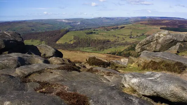
From there you reach Stanage and follow the edge past the crag sections of Enclosure Buttress and Broken Buttress. Stanage is one of England's best-known climbing crags, with wide views over the moors, and you may see climbers at work on the rock.

The return crosses open moor and passes the plantations of Oaking Clough and Broadshaw, before finishing beside the Upper Reservoir, where you can join the first route to explore the reservoirs if you wish.

Expect a sustained early climb, rough ground in places and exposure to the weather on the tops.

Redmires and Stanage Edge Walk No ratings yet Be the first - rate this walk in the Derbyshire Walks App

Navigate the walks

Derbyshire Walks App

Follow the Redmires Reservoirs walks with GPS guidance

It's like sat-nav, but for footpaths.

Choose a walk and follow the pointer showing your live position on the route map, so you always know you're on the right path.

The app works without a phone signal, so you can keep following the route wherever the walk takes you.

Download the app

Download on the App Store Get it on Google Play

On a computer? Scan the QR code with your phone's camera to get the Derbyshire Walks app.

Derbyshire Walks app showing the walker's live position on a route map

Designed to be simple

  • Choose a walk and follow the pointer
  • See your live position on the route map
  • Works without a phone signal
  • Includes 250 Derbyshire walks
  • Free one-month trial
  • Available for iPhone and Android

Explore the area

Nearby walks

Explore the county

Derbyshire walks map

Map data © OpenStreetMap contributors

Search Derbyshire walks

See where the walks start, explore the area and tap a pin to find a route for your next adventure.

Search Derbyshire walks
Expanded route map for Redmires Reservoirs Circular Walk, a 2.75 mile circular walk in Derbyshire