

Derbyshire Walks

Baslow Edge Walk and Route Map

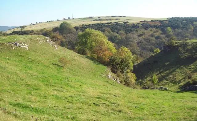
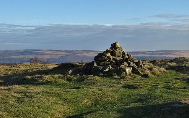
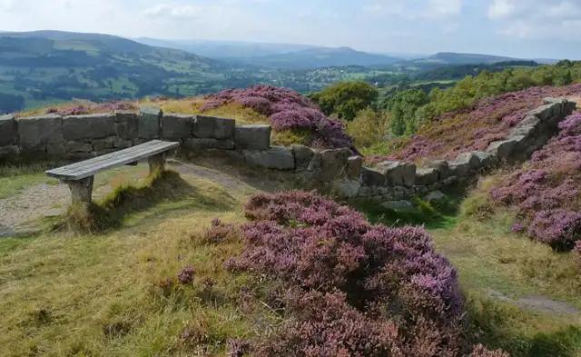
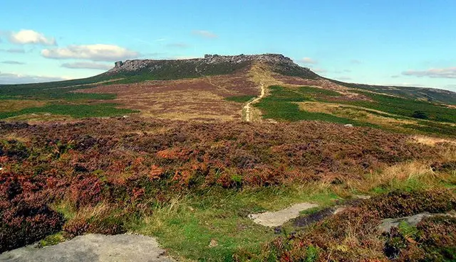
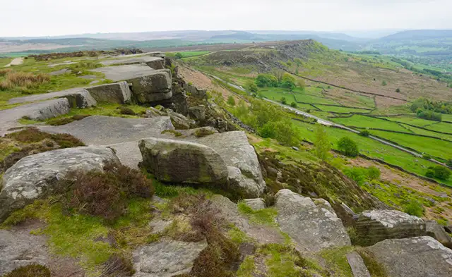
A path running along Baslow Edge with open Derbyshire countryside beyond
Baslow Edge · Photo: David Martin

Baslow Edge is a well-known stretch of high ground in Derbyshire, and a good base for walks of different lengths. The routes here start from the same point and share the Edge itself, with its viewpoint and information board, so you can choose how much further to go.

There are four walks on the Derbyshire Walks app, ranging from 1.6 miles to 5.8 miles. The shortest passes the Eagle Stone and Wellington's Monument. The longer routes add the Finger Post, the Swine Sty archaeological site, Clodhall Lane and Gardom's Edge.

The longest walk also visits Birchen Edge, where Nelsons Monument stands beside rocks named Three Ships, Victory, Defiance and Royal Soverin. It then reaches the hamlet of Robin Hood and The Robin Hood Inn. The longer walks include a few moderate climbs and some woodland, while the shortest is gentle underfoot.

Download the Derbyshire Walks App to follow these routes with real-time GPS navigation.

Download on the App Store Get it on Google Play

On a computer? Scan the QR code with your phone's camera to get the Derbyshire Walks app.

Baslow Edge walk 01

Baslow Edge Short Walk

Walk distance
1½ miles
Time
1 hour
Route type
Circular

A short walk along Baslow Edge, with plenty to see for its length and very little climbing. The route heads out past the Eagle Stone, a large rock just beside the path, and Wellington's Monument stands a short way off to one side.

You then follow Bar Road and cross Bar Brook before turning back along the Edge itself. The walk finishes at the Baslow Edge viewpoint, where there is also an information board, so it is worth leaving time to pause there.

Baslow Edge walk 02

Baslow Edge and Wellington's Monument Walk

Walk distance
3¼ miles
Time
1.5 hours
Route type
Circular

A mid-length circuit that starts out by the Finger Post and heads towards the Swine Sty, an archaeological site a little way off the route. It then follows Clodhall Lane and crosses Bar Brook.

A steady, sustained climb leads up to Wellington's Monument, which the path passes very close to. From there you join Bar Road and return along Baslow Edge, finishing at the viewpoint and information board.

Baslow Edge walk 03

Gardom's Edge and Baslow Edge Walk

Walk distance
5 miles
Time
2.5 hours
Route type
Circular

A longer circuit that adds Gardom's Edge to the Baslow Edge walk. After passing the Finger Post and the Swine Sty site, the route reaches Clodhall Lane and crosses a bridge beside Blake Brook, with some woodland along the way.

Gardom's Edge is the highlight, with its own viewpoint beside the route. The path then crosses Bar Brook and joins Bar Road, passing Wellington's Monument before the finish along Baslow Edge and its viewpoint.

The second half has several moderate climbs, so allow a little extra time.

Baslow Edge walk 04

Birchen Edge and Baslow Edge Walk

Walk distance
5¾ miles
Time
3 hours
Route type
Circular

The longest of the routes takes in two edges and a famous pub stop. After the Finger Post, the Swine Sty site and Clodhall Lane, a climb leads to Birchen Edge, where Nelsons Monument stands beside a group of named rocks: Three Ships, Victory, Defiance and Royal Soverin.

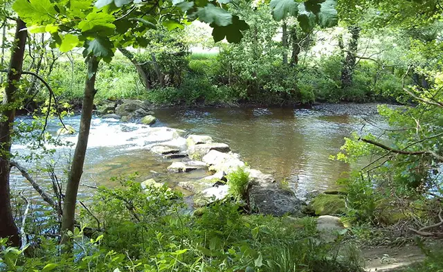
The route then drops to the hamlet of Robin Hood, passing Heathy Lea Brook and The Robin Hood Inn at roughly the halfway point, which makes a natural place for refreshments.

A series of moderate climbs follows, past Gardom's Edge and Wellington's Monument, before the walk finishes along Baslow Edge to its viewpoint and information board.

These Baslow Edge walks start at grid reference: 53.268726,-1.608016

Navigate the walks

Derbyshire Walks App

Follow the Baslow Edge walks with GPS guidance

It's like sat-nav, but for footpaths.

Choose a walk and follow the pointer showing your live position on the route map, so you always know you're on the right path.

The app works without a phone signal, so you can keep following the route wherever the walk takes you.

Download the app

Download on the App Store Get it on Google Play

On a computer? Scan the QR code with your phone's camera to get the Derbyshire Walks app.

Derbyshire Walks app showing the walker's live position on a route map

Designed to be simple

  • Choose a walk and follow the pointer
  • See your live position on the route map
  • Works without a phone signal
  • Includes 250 Derbyshire walks
  • Free one-month trial
  • Available for iPhone and Android

Explore the area

Nearby walks

Explore the county

Derbyshire walks map

Map data © OpenStreetMap contributors

Search Derbyshire walks

See where the walks start, explore the area and tap a pin to find a route for your next adventure.

Search Derbyshire walks
Expanded route map for Baslow Edge Short Walk, a 1.5 mile circular walk in Derbyshire