

Derbyshire Walks

Goyt Valley Walks

Goyt Valley walk, Derbyshire
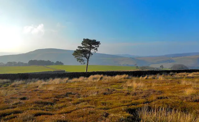
Goyt Valley · Photo: Philip Cornwall

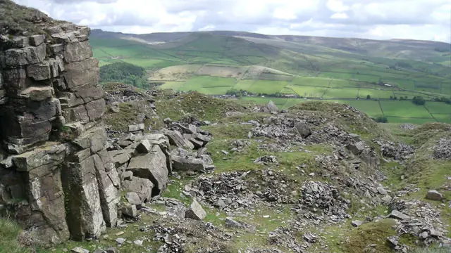
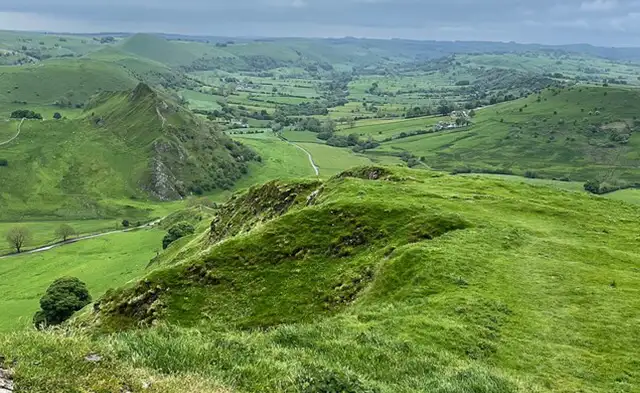
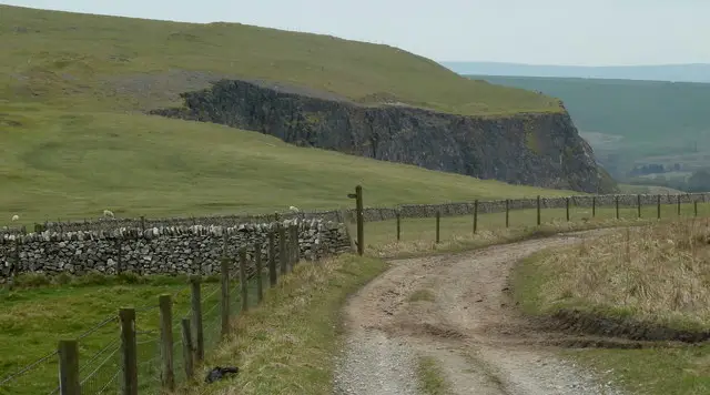
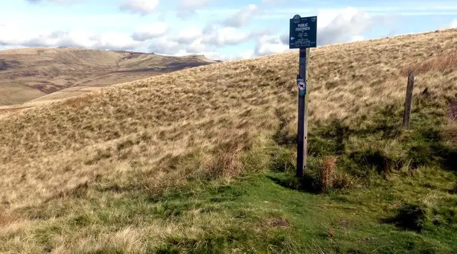
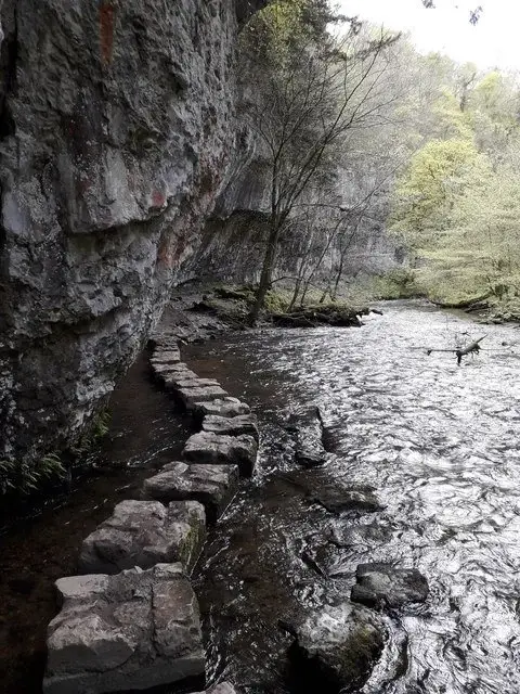
The Goyt Valley is located in the Peak District National Park and it’s a wonderful area to explore on foot.

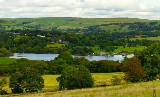
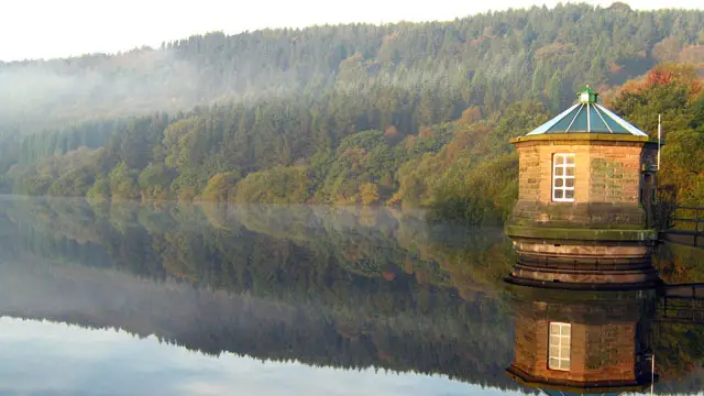
It’s surrounded by stunning scenery including the pretty Fernilee and Errwood reservoirs, rivers, moors and woodland. Due to it’s diverse and sometimes challenging terrain, it’s very popular with walkers and well worth the visit. We have 3 Goyt Valley Walks on the Derbyshire Walks app for you to explore.

Download the Derbyshire Walks App to follow these routes with real-time GPS navigation.

Download on the App Store Get it on Google Play

On a computer? Scan the QR code with your phone's camera to get the Derbyshire Walks app.

Goyt Valley walk 01

Goyt Valley and Errwood Reservoir walk

Walk distance
2¾ miles
Time
1.5 hours
Route type
Circular

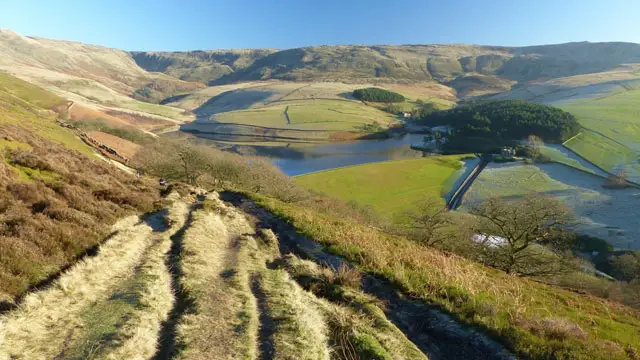
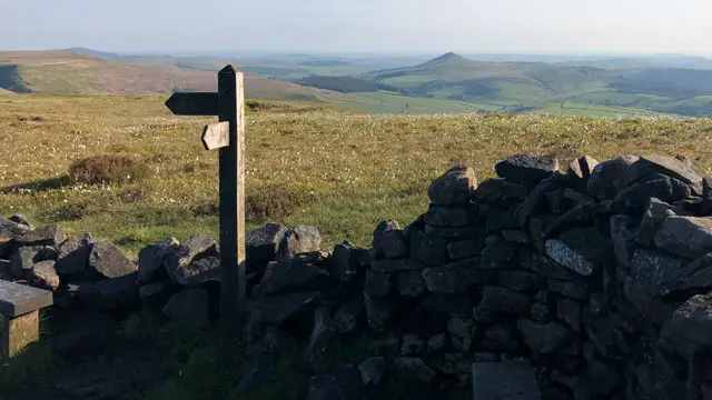
This is our shortest and easiest walk in the beautiful Goyt Valley. However, whilst it is quite short it will give your legs a good stretch as you climb up along Foxlow Edge. The views down the valley from here are simply beautiful.

The second half of the walk is downhill all the way through woodland along a path beside 'The Street'. This will take you to a final section on a path alongside the lovely Errwood Reservoir.

After your walk, you could visit the famous Cat & Fiddle Inn, perched high on the moors beside the Buxton to Macclesfield Road or there is a pub at Fernilee for refreshments.

Goyt Valley walk 02

Goyt Valley and Foxlow Edge walk

Walk distance
5½ miles
Time
2.5 hours
Route type
Circular

This wonderful but quite strenuous walk starts with a steep climb up to a spur between the Goyt and Shooter's Clough. The then walk meanders through woodlands and country pastures and around the ruins of Errwood Hall, a once-magnificent country house.

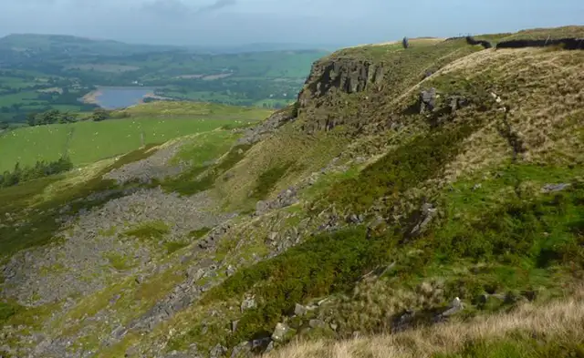
You will then go uphill to a wild, part wooded comb and past The Spanish Shrine. The final part of the walk travels across the wild moors and along the crest of Foxlow Edge. At this point you will have lovely views over Errwood Reservoir.

After your walk, you could visit the famous Cat & Fiddle Inn, perched high on the moors beside the Buxton to Macclesfield Road or there is a pub at Fernilee for refreshments.
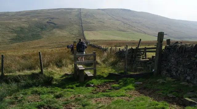
You will need good footwear for this walk and it can get muddy and slippery in places.

Goyt Valley walk 03

Goyt Valley adventure walk

Walk distance
5½ miles
Time
3 hours
Route type
Circular

If you want more of an adventure, our third walk in the stunning Goyt Valley is our longest and most challenging but also the most rewarding! There is plenty of variety both in terms of terrain but also the wonderful views.

The first part of the walk is a long strenuous hike up to Shining Tor at a height of 1,833 ft. From here you travel along the ridge over wild, open heather moorland and then up to Cats Tor. From here you can get wide views of the countryside around you. On a clear day you can see Derbyshire, Cheshire, Staffordshire and Yorkshire and even into Wales!

The final part of the walk takes you over moorland, through beautiful woodland and along riverside paths. You will walk along Foxlow Edge and past the ruins of Errwood Hall before returning to your start point.

For well earned refreshments after your epic adventure, you could visit the famous Cat & Fiddle Inn, perched high on the moors beside the Buxton to Macclesfield Road or there is a pub at Fernilee.

You will need good footwear for this walk and it can get muddy and slippery in places.

These Goyt Valley walks start at coordinates: 53.270666, -1.983107

Navigate the walks

Derbyshire Walks App

Follow the Goyt Valley walks with GPS guidance

It's like sat-nav, but for footpaths.

Choose a walk and follow the pointer showing your live position on the route map, so you always know you're on the right path.

The app works without a phone signal, so you can keep following the route wherever the walk takes you.

Download the app

Download on the App Store Get it on Google Play

On a computer? Scan the QR code with your phone's camera to get the Derbyshire Walks app.

Derbyshire Walks app showing the walker's live position on a route map

Designed to be simple

  • Choose a walk and follow the pointer
  • See your live position on the route map
  • Works without a phone signal
  • Includes 250 Derbyshire walks
  • Free one-month trial
  • Available for iPhone and Android

Explore the area

Nearby walks

Explore the county

Derbyshire walks map

Map data © OpenStreetMap contributors

Search Derbyshire walks

See where the walks start, explore the area and tap a pin to find a route for your next adventure.

Search Derbyshire walks
Expanded route map for Goyt Valley and Errwood Reservoir walk, a 2.75 mile circular walk in Derbyshire