

Derbyshire Walks

Fernilee Reservoir Walk

Fernilee Reservoir walk, Derbyshire
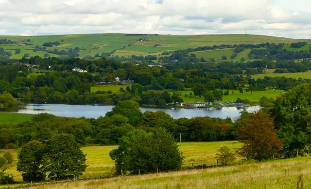
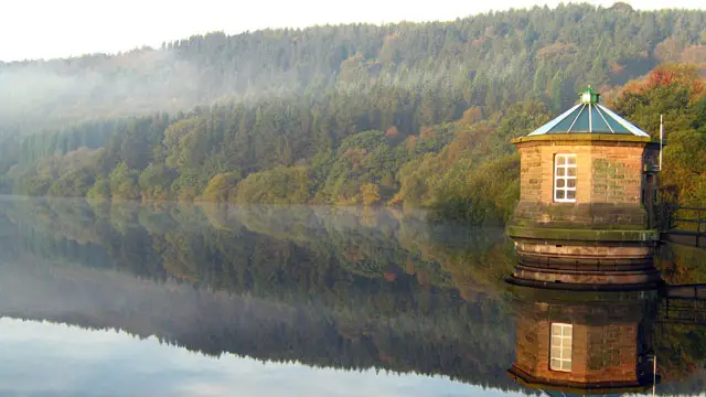
Fernilee Reservoir · Photo: Roger Lombard

Here are 4 great Fernilee Reservoir walks.

Download the Derbyshire Walks App to follow these routes with real-time GPS navigation.

Download on the App Store Get it on Google Play

On a computer? Scan the QR code with your phone's camera to get the Derbyshire Walks app.

Fernilee Reservoir walk 01

Fernilee Reservoir walk

Walk distance
3¼ miles
Time
1.5 hours
Route type
Circular

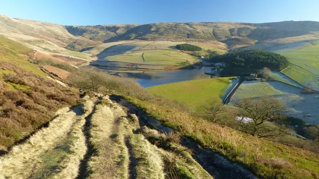
This lovely easy going walk takes you right around Fernilee Reservoir, the lower of the two reservoirs in the Goyt Valley and is perfect for the whole family (unfortunately though not suitable for pushchairs). The draw of this walk is the combination of waterside, picturesque scenery and peaceful woodland.

For refreshments, visit the famous Cat & Fiddle Inn, perched high on the moors beside the Buxton to Macclesfield Road or there is a pub at Fernilee.

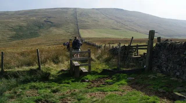
The terrain is mainly easy with a few rougher sections, a few steps but no stiles and a short moderate climb towards the end of the walk.

Fernilee Reservoir walk 02

Fernilee Reservoir and woodland walk

Walk distance
4½ miles
Time
2 hours
Route type
Circular

This walk is a slight extension to Walk 1. Again it's an easy walk around Fernilee Reservoir firstly through the delightful woods but then travels further north following countryside paths and woodland trails. Eventually you will arrive at a small footbridge and cross the concrete bridge over the River Goyt.

The second half of this walk takes you firstly on the beautiful riverside path which gives wonderful scenery all around you. Finally you will follow the peaceful track alongside the reservoir to take you back to your start point.

For refreshments, visit the famous Cat & Fiddle Inn, perched high on the moors beside the Buxton to Macclesfield Road or there is a pub at Fernilee.

The terrain is mainly easy with more rough sections than walk 1 and has steps, stiles and some moderate climbs. It may be muddy after rain.

Fernilee Reservoir walk 03

Errwood Reservoir walk

Walk distance
5½ miles
Time
3 hours
Route type
Circular

This easy and enjoyable walk is not around Fernilee at all but in fact travels around Errwood Reservoir to the south of Fernilee. If you do this walk on a fine day - take your time, there are plenty of wonderful places to stop for a picnic on route.

You wlll travel alongside the reservoir, take a slight detour to visit the ruins of Errwood Hall and then continue on a picturesque track above the river in the beautiful Goyt Valley.

After crossing the pretty packhorse bridge across the river, the walk becomes more open and wild. You will have some wonderful views of the countryside and the reservoir to enjoy as you walk, rest or play! As you walk along the road between the two reservoirs and take in the view you can imagine the old small hamlet of Goyt's Bridge that lies under the water!

For refreshments, visit the famous Cat & Fiddle Inn, perched high on the moors beside the Buxton to Macclesfield Road or there is a pub at Fernilee.

Parts of the walk may get muddy after rain and there is a small amount of walking on the road (which is quiet with grassy verges).

Fernilee Reservoir walk 04

Fernilee Reservoir and Taxal Edge

Walk distance
7½ miles
Time
3.5 hours
Route type
Circular

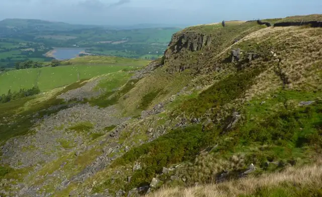
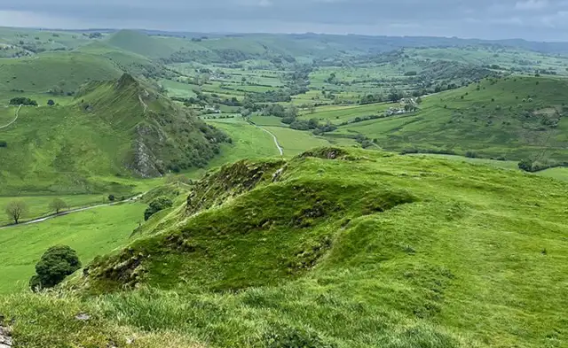
This walk takes in a higher route above the Fernilee Reservoir and is both longer and more challenging than the other walks. After a short climb, the walk travels downhill through delightful woodland above the reservoir. From here the path takes you on quite a long steep climb up to the ridge of Taxal Edge. Your reward will be breathtaking views, so take time to enjoy! Following this is a very steep descent back down to lower ground to the hamlet of Taxal and its pretty church.

The final leg of the walk takes you along the very peaceful and scenic bank of the River Goyt and then the woodland path besides the Fernilee Reservoir. For refreshments, visit the famous Cat & Fiddle Inn, perched high on the moors beside the Buxton to Macclesfield Road or there is a pub at Fernilee.

Good footwear is essential. There are steps, stiles and fords to cross and you will need to take great care after wet weather as the paths will be slippery.

These Fernilee Reservoir walks start at coordinates: 53.277825, -1.980997

Navigate the walks

Derbyshire Walks App

Follow the Fernilee Reservoir walks with GPS guidance

It's like sat-nav, but for footpaths.

Choose a walk and follow the pointer showing your live position on the route map, so you always know you're on the right path.

The app works without a phone signal, so you can keep following the route wherever the walk takes you.

Download the app

Download on the App Store Get it on Google Play

On a computer? Scan the QR code with your phone's camera to get the Derbyshire Walks app.

Derbyshire Walks app showing the walker's live position on a route map

Designed to be simple

  • Choose a walk and follow the pointer
  • See your live position on the route map
  • Works without a phone signal
  • Includes 250 Derbyshire walks
  • Free one-month trial
  • Available for iPhone and Android

Explore the area

Nearby walks

Explore the county

Derbyshire walks map

Map data © OpenStreetMap contributors

Search Derbyshire walks

See where the walks start, explore the area and tap a pin to find a route for your next adventure.

Search Derbyshire walks
Expanded route map for Fernilee Reservoir walk, a 3.25 mile circular walk in Derbyshire