

Derbyshire Walks

Buxton Walks

Buxton walk, Derbyshire
Buxton · Photo: Ruth Sharville

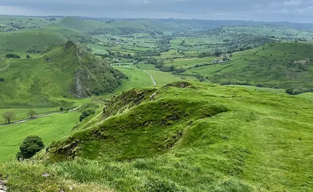
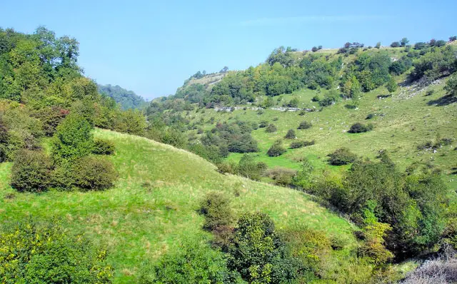
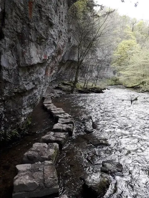
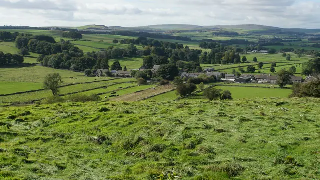
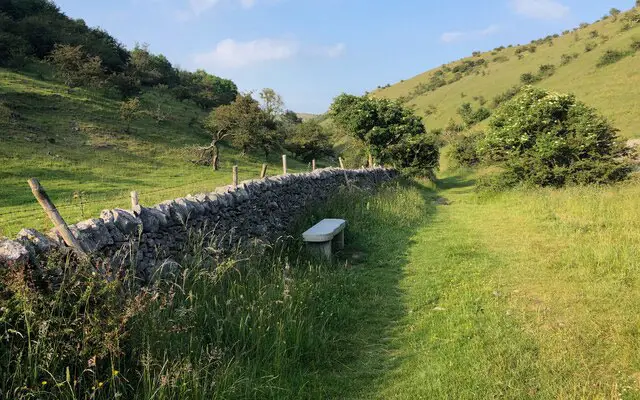
These two walks are a great way to explore Buxton and its beautiful surroundings, with a choice of an easy stroll through the Pavilion Gardens or a more energetic route into the hills above the town.

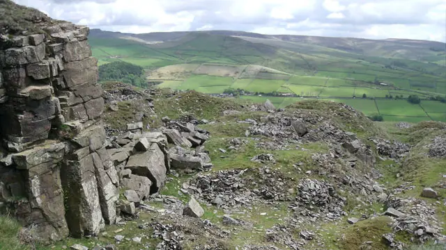
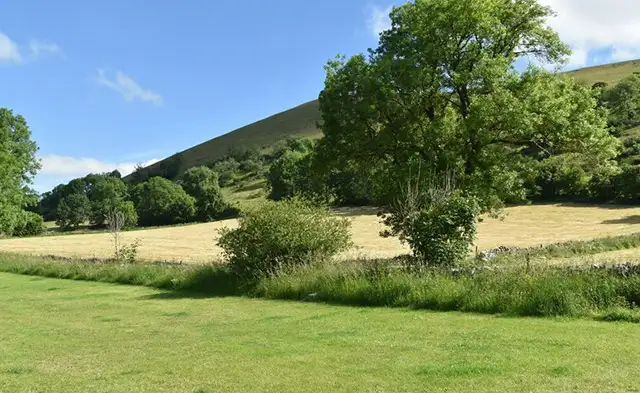
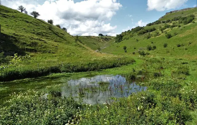
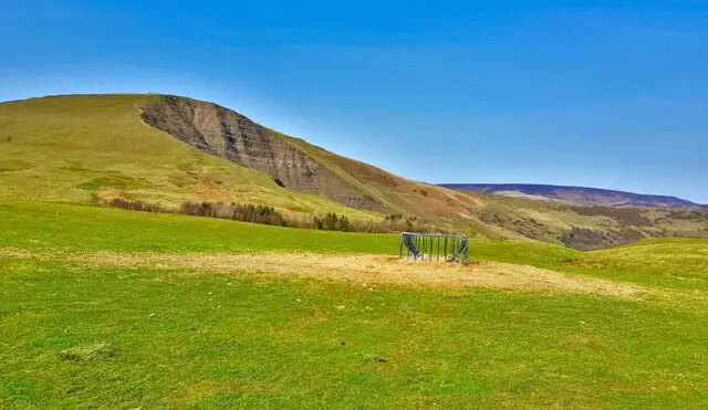
Along the way, you'll discover some of Buxton's best-known landmarks, attractive gardens and wonderful Peak District views.

Download the Derbyshire Walks App to follow these routes with real-time GPS navigation.

Download on the App Store Get it on Google Play

Walk information

Buxton Walk 1

Walk distance
1¼ miles
Time
30 mins
Route type
Circular

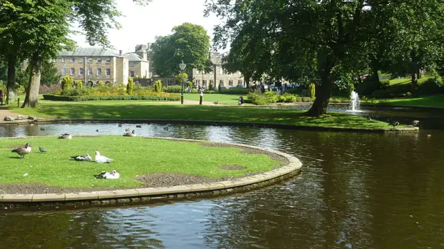
This first route is an easy, family-friendly and wheel-friendly stroll from the spa town of Buxton, taking you into and around the beautiful Pavilion Gardens.

Along the way, you'll explore the Victorian gardens with their attractive lakes, tree-lined paths, children's play areas, miniature railway and the River Wye. The walk also passes some of Buxton's best-known landmarks, including the impressive Buxton Crescent and Opera House, with plenty of pubs, cafés and other places to stop for refreshments nearby.

Walk information

Buxton Walk 2

Walk distance
3¼ miles
Time
1.5 hours
Route type
Circular

This second route is a varied walk that begins by exploring the town of Buxton, where you can visit the museum and art gallery, before heading out of town and climbing into the surrounding hills.

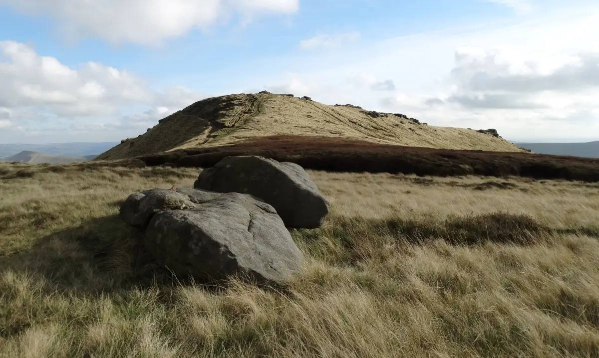
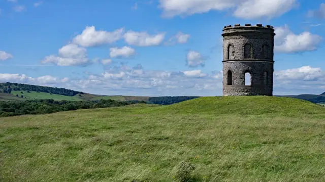
After leaving Buxton behind, there's a fairly steep climb up to Grin Low, a Bronze Age barrow topped by the distinctive Grin Low Tower, also known as Solomon's Temple. On a clear day, the tower offers wonderful views across Buxton and towards the surrounding Peak District, including Kinder Scout and Mam Tor.

You can climb to the top of the tower for even better views, but take extra care as the steps are narrow, steep and worn in places.

The return journey takes you back towards Buxton through the beautiful Pavilion Gardens. If you have time, it's well worth exploring the 23 acres of gardens and stopping for some food or a drink before following the route back to the start of the walk.

These Buxton walks start at grid reference: 53.260059,-1.913001

Navigate the walks

Derbyshire Walks App

Follow the Buxton walks with GPS guidance

It's like sat-nav, but for footpaths.

Choose a walk and follow the pointer showing your live position on the route map, so you always know you're on the right path.

The app works without a phone signal, so you can keep following the route wherever the walk takes you.

Download the app

Download on the App Store Get it on Google Play
Derbyshire Walks app showing the walker's live position on a route map

Designed to be simple

  • Choose a walk and follow the pointer
  • See your live position on the route map
  • Works without a phone signal
  • Includes 250 Derbyshire walks
  • Free one-month trial
  • Available for iPhone and Android

Explore the area

Nearby walks

Explore the county

Derbyshire walks map

Map data © OpenStreetMap contributors

Search Derbyshire walks

See where the walks start, explore the area and tap a pin to find a route for your next adventure.

Search Derbyshire walks
Expanded route map for Buxton Walk 1, a 1.25 mile circular walk in Derbyshire