

Wiltshire Walks

Shearwater Walks and Route Maps

Shearwater walk, Wiltshire
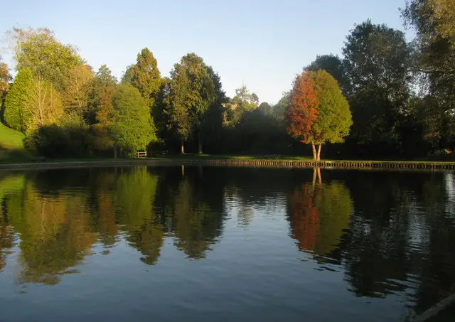
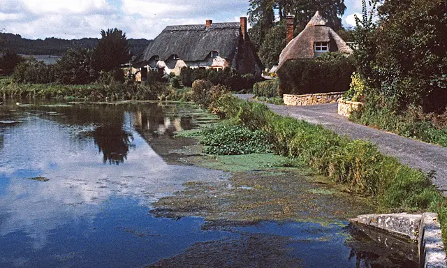
Shearwater · Photo: Maurice Pullin

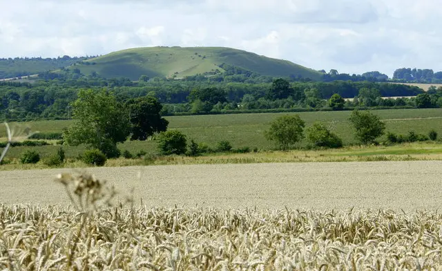
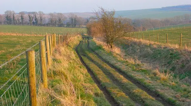
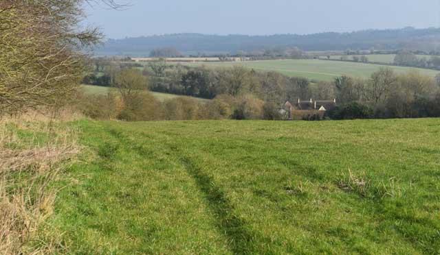
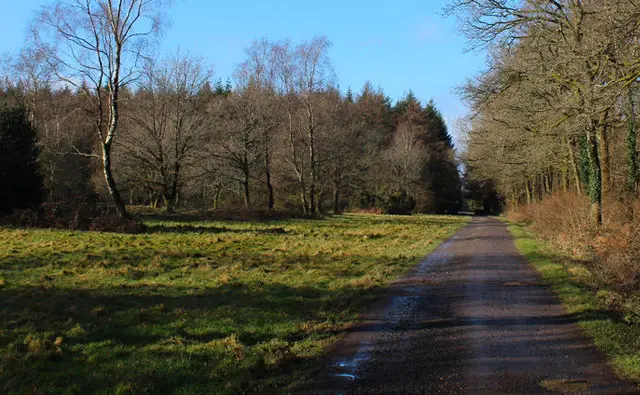
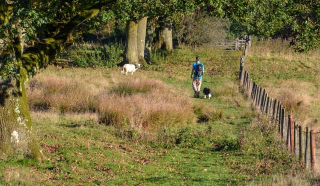
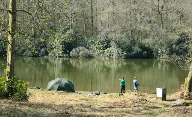
These walks explore the area around Shearwater in the Wylye Valley, where a calm lake is framed by wooded hills and open countryside.

With two route options available, you can choose a shorter circuit close to the water or a longer loop that reaches further into the surrounding landscape.

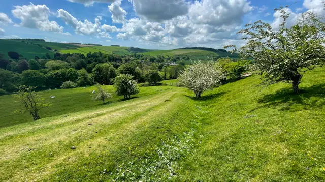
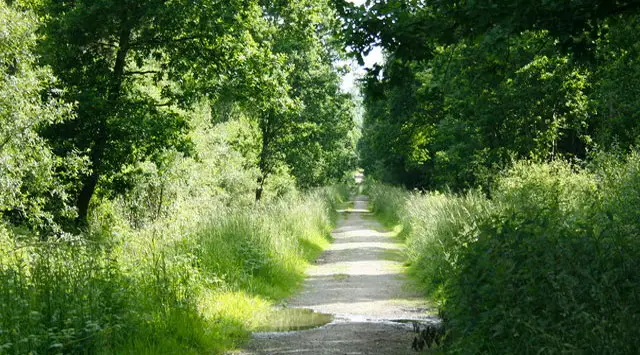
The shorter route keeps a steady focus on the lakeside and nearby woodland, where the path rises gently into Swancombe Bottom before looping back with changing views of water and trees.

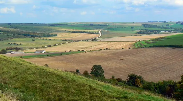
The longer walk expands the journey into wider countryside near Crockerton, combining woodland climbs with open fields and airy views that give a real sense of space.

Both routes include a short stretch of road walking to be aware of, but overall these walks offer an easy-going mix of water, woodland, and open Wiltshire scenery.

Download the Wiltshire Walks App to follow these routes with real-time GPS navigation.

Download on the App Store Get it on Google Play

On a computer? Scan the QR code with your phone's camera to get the Wiltshire Walks app.

Shearwater walk 01

Short Route

Walk distance
2¾ miles
Time
1.5 hours
Route type
Circular

This short walk circles the peaceful waters of Shearwater, combining lakeside paths with climbs into the surrounding woodland of Swancombe Bottom. The scenery changes nicely, with reflections on the lake giving way to shaded woodland and gentle hills.

Later on, the route returns through quieter edges of the landscape, with a brief stretch of road walking to be aware of.

It’s a varied little route offering a good mix of water, trees, and fresh air without taking up too much of the day.

Shearwater walk 02

Long Route

Walk distance
6½ miles
Time
3.5 hours
Route type
Circular

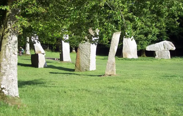
This much longer route offers a rewarding circuit around the countryside near Crockerton, blending lakeside scenery with woodland climbs and open fields.

The walk begins around Shearwater, where calm water and wide views set an inviting tone before the landscape rises into the surrounding hills.

Later on, the route threads through the hilly woodland around the lake, then opens out into airy farmland that brings a real sense of space and fresh air.

These Shearwater walks start at coordinates: 51.177164, -2.209933

Navigate the walks

Wiltshire Walks App

Follow the Shearwater walks with GPS guidance

It's like sat-nav, but for footpaths.

Choose a walk and follow the pointer showing your live position on the route map, so you always know you're on the right path.

The app works without a phone signal, so you can keep following the route wherever the walk takes you.

Download the app

Download on the App Store Get it on Google Play

On a computer? Scan the QR code with your phone's camera to get the Wiltshire Walks app.

Wiltshire Walks app showing the walker's live position on a route map

Designed to be simple

  • Choose a walk and follow the pointer
  • See your live position on the route map
  • Works without a phone signal
  • Includes 300 Wiltshire walks
  • Free one-month trial
  • Available for iPhone and Android

Explore the area

Nearby walks

Explore the county

Wiltshire walks map

Map data © OpenStreetMap contributors

Search Wiltshire walks

See where the walks start, explore the area and tap a pin to find a route for your next adventure.

Search Wiltshire walks
Expanded route map for Short Route, a 2.75 mile circular walk in Wiltshire