

Wiltshire Walks

Heytesbury Walks & Route Maps

Heytesbury walk, Wiltshire
Heytesbury · Photo: Andrew Smith

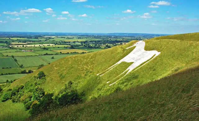
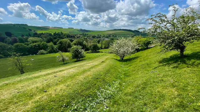
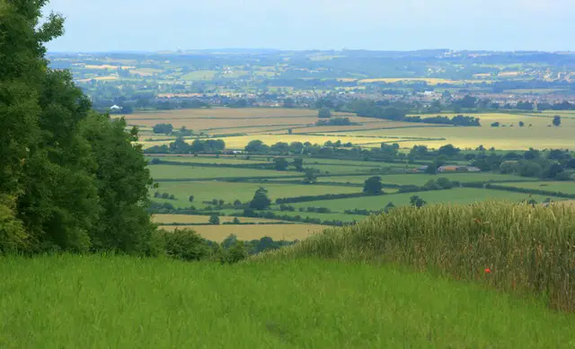
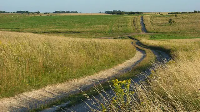
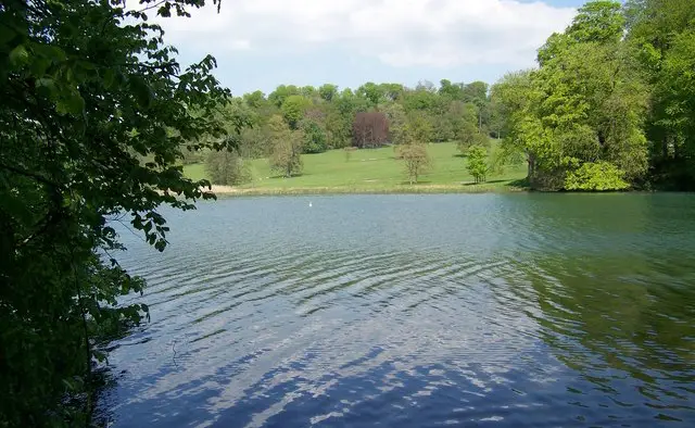
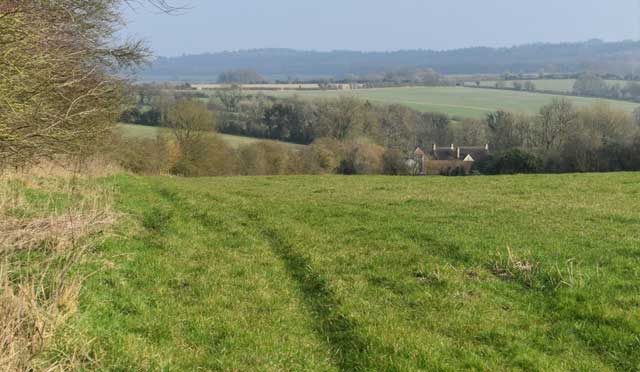
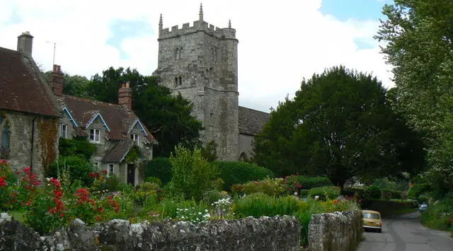
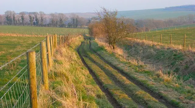
These walks explore the countryside between Heytesbury and the Knook Downs, combining riverside paths along the River Wylye with open hilltop walking and wide views across the surrounding landscape.

The shorter route stays low level with a relaxed village-to-village feel, while the longer options head up onto Knook Down and beyond for increasingly challenging hill walking and bigger views.

Download the Wiltshire Walks App to follow these routes with real-time GPS navigation.

Download on the App Store Get it on Google Play

Walk information

Heytesbury Walk 1

Walk distance
2 miles
Time
1 hour
Route type
Circular

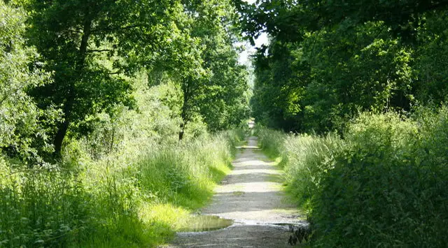
This is a lovely short family-friendly walk in the countryside between the villages of Heytesbury and Knook.

There are a couple of stretches of walking alongside the River Wylye and some nice pubs in the village if you want to make this a Pub Walk.

Refreshments:

The Angel Inn, Heytesbury

Heytesbury Walk 1 4.0 Ratings and reviews 3 ratings · 1 review

Based on 3 user ratings

Community feedback

Overall rating4.0

A very popular walk

Dog friendly2.7 / 5
Path condition1.3 / 5
Buggy friendly1.0 / 5
Wheelchair friendly0.7 / 5
Toilet facilities1.3 / 5
Pub or café2.3 / 5
Route accuracy2.7 / 5
ClimbingTotally level
LivestockSome livestock
StilesNo stiles
Mud levelMay be muddy after wet weather

Real feedback from people who have completed this walk using the Wiltshire Walks app.

First-hand experiences

User reviews

Walker review

Quite overgrown in places with cows in the last field

Walk information

Heytesbury Walk 2

Walk distance
5½ miles
Time
3 hours
Route type
Circular

If you want a bit more of a workout on your walk, then the other three routes from Heytesbury are for you.

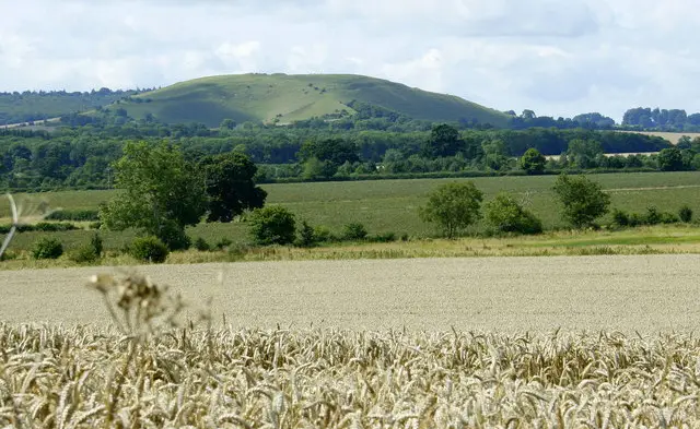
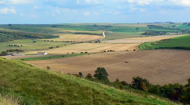
This second route option takes you up into the big hills to the north of the village and you'll be rewarded for your efforts with some fantastic views from Knook Down.

You'll then enjoy a lot of undulating walking with views all around before getting back to the village and it's pubs for refreshments.

Refreshments:

The Angel Inn, Heytesbury
The Red Lion, Heytesbury

Heytesbury Walk 2 4.0 Ratings and reviews 2 ratings · 3 reviews

Based on 2 user ratings

Community feedback

Overall rating4.0

A very popular walk

Dog friendly5.0 / 5
Path condition3.5 / 5
Buggy friendly1.5 / 5
Wheelchair friendly1.0 / 5
Toilet facilities1.5 / 5
Pub or café1.5 / 5
Route accuracy4.5 / 5
ClimbingGentle slopes
LivestockSome livestock
StilesA stile or two
Mud levelMay be muddy after wet weather

Real feedback from people who have completed this walk using the Wiltshire Walks app.

First-hand experiences

User reviews

Walker review

It should be noted that you go through army training barracks at the beginning. It is not clear and we went through an army shooting training session.. while it was fine for us to do so, it was a bit alarming.

Walker review

Lovely walk although not my favourite. The walk around the Imber path is a bit dull, but overall, a great workout. Lovely pint at the Red Lion to finish!

Walker review

We did this walk late afternoon, early evening. Lovely and quiet. Beautiful views. Not a walk for a very hot day as minimal shade!

Walk information

Heytesbury Walk 3

Walk distance
7 miles
Time
3.5 hours
Route type
Circular

This third route again heads north into the Knook downs, but adds some extra distance by visiting the village of Knook and enjoying a short stretch of walking alongside the river Wylye.

There is a lot of climbing on this route, so you'll work up an appetite for a visit to the village pub after your walk.

Heytesbury Walk 3 No ratings yet Be the first - rate this walk in the Wiltshire Walks App

Walk information

Heytesbury Walk 4

Walk distance
10¾ miles
Time
5.5 hours
Route type
Circular

This final route is only for the brave, as it greatly extends the third route for even more epic hill walking in this lovely area of undulating countryside.

If you need an energy top up, the walk visits the village of Chitterne half way around where there is another pub for some refreshments.

Heytesbury Walk 4 4.5 Ratings and reviews 4 ratings · 4 reviews

Based on 4 user ratings

Community feedback

Overall rating4.5

An outstanding walk

Dog friendly3.3 / 5
Path condition3.8 / 5
Buggy friendly1.5 / 5
Wheelchair friendly1.5 / 5
Toilet facilities1.0 / 5
Pub or café3.3 / 5
Route accuracy5.0 / 5
ClimbingSome climbing
LivestockSome livestock
StilesA few stiles on route
Mud levelMay be muddy after wet weather

Real feedback from people who have completed this walk using the Wiltshire Walks app.

First-hand experiences

User reviews

Walker review

Lovely walk but couple of fields with livestock to be aware of. Turned out we did 11 miles and it took us 3.5 hours. Route was perfectly mapped out.

Walker review

Footpath off the road in chitterne very overgrown with nettles and not marked. Stiles not secure/safe and way markers faded/smashed. Had to lift the dog over cattle grids as the gates next to them were locked. Lots of signs about aggressive cows but didnt see any. Had to use OS map to help. Otherwise a lovely walk, mostly easy walking on gravel/concrete tracks. Had a swim in the river in Heytesbury to cool off! Dont think i would of been brave enough to do such a long walk without having this app so thank you :)

Walker review

Loads of game at the top of the hill over the 36 from Upton Lovell, pretty much until you get to Chitterne. Tough with a partially gun trained Spaniel. From Chitterne over Salisbury plain was a delight. Incredible views and well maintained paths. Not a phesant in sight!!

Walker review

This was my first walk using the app and it was spot on! I have been nervous about walking on Salisbury Plain in case I got lost but the route was very clear and the views stunning,

Navigate the walks

Wiltshire Walks App

Follow the Heytesbury walks with GPS guidance

It's like sat-nav, but for footpaths.

Choose a walk and follow the pointer showing your live position on the route map, so you always know you're on the right path.

The app works without a phone signal, so you can keep following the route wherever the walk takes you.

Download the app

Download on the App Store Get it on Google Play
Wiltshire Walks app showing the walker's live position on a route map

Designed to be simple

  • Choose a walk and follow the pointer
  • See your live position on the route map
  • Works without a phone signal
  • Includes 300 Wiltshire walks
  • Free one-month trial
  • Available for iPhone and Android

Explore the area

Nearby walks

Explore the county

Wiltshire walks map

Map data © OpenStreetMap contributors

Search Wiltshire walks

See where the walks start, explore the area and tap a pin to find a route for your next adventure.

Search Wiltshire walks
Expanded route map for Heytesbury Walk 1, a 2 mile circular walk in Wiltshire