

Wiltshire Walks

Westbury White Horse Walks and Route Maps

Westbury White Horse walk, Wiltshire
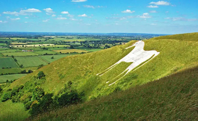
Westbury White Horse · Photo: Mary and Angus Hogg

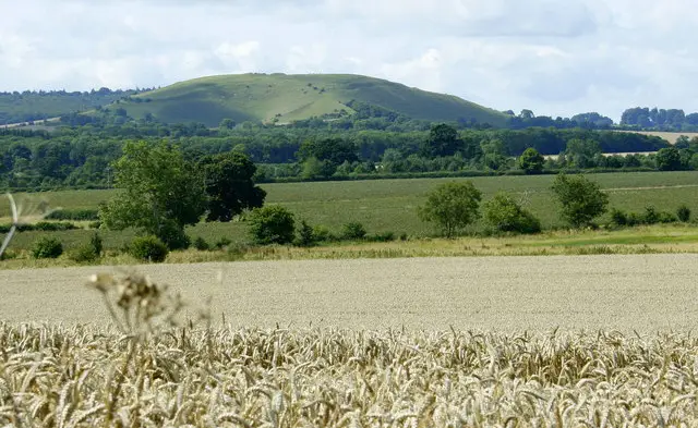
These walks explore the chalk downland above the Westbury White Horse, one of Wiltshire’s most distinctive hillside landmarks.

With three route options available, you can choose a short visit to the viewpoint or extend the outing into a longer countryside circuit.

The shorter routes focus on the impressive hillside carving and wide views across the surrounding countryside, while the longest option continues on to Bratton and St James Church for a more varied and energetic walk.

Whichever you choose, these walks offer a rewarding mix of open landscapes, fresh air, and far-reaching scenery.

Download the Wiltshire Walks App to follow these routes with real-time GPS navigation.

Download on the App Store Get it on Google Play

On a computer? Scan the QR code with your phone's camera to get the Wiltshire Walks app.

Westbury White Horse walk 01

Short Route

Walk distance
½ miles
Time
30 mins
Route type
Circular

This short walk offers a quick but memorable visit to one of Wiltshire’s most striking landmarks.

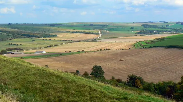
The route leads up onto the open chalk downland above the Westbury White Horse, where the scale of the hillside carving really comes into its own.

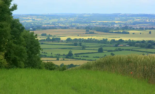
Although brief, the walk packs in huge rewards, with absolutely fantastic views stretching across the surrounding countryside on clear days.

Westbury White Horse walk 02

Alternative Short Route

Walk distance
2 miles
Time
1 hour
Route type
Circular

This slightly longer route builds on the classic visit to the Westbury White Horse by adding a relaxed loop through the surrounding countryside.

Building on the first route, this one drifts away from the main viewpoint and into quieter fields and tracks, giving the walk a gentler, more varied feel.

It’s a nice balance of landmark scenery and easy-going countryside, ideal for a small adventure with plenty of fresh air and space to slow the pace.

Westbury White Horse walk 03

Longer Route

Walk distance
3½ miles
Time
1.5 hours
Route type
Circular

This is the longest route from the Westbury White Horse, turning a landmark visit into a more substantial countryside walk and work out.

After enjoying the dramatic chalk downland around the famous hillside figure, the route pushes further out into open scenery before the walk drops towards the village of Bratton, where St James Church provides a quiet point of interest before the return.

There are some steep climbs and descents along the way on this route, giving this route a more energetic feel, but the effort is well rewarded with big views and a varied slice of Wiltshire countryside.

These Westbury White Horse walks start at coordinates: 51.261435, -2.145496

Navigate the walks

Wiltshire Walks App

Follow the Westbury White Horse walks with GPS guidance

It's like sat-nav, but for footpaths.

Choose a walk and follow the pointer showing your live position on the route map, so you always know you're on the right path.

The app works without a phone signal, so you can keep following the route wherever the walk takes you.

Download the app

Download on the App Store Get it on Google Play

On a computer? Scan the QR code with your phone's camera to get the Wiltshire Walks app.

Wiltshire Walks app showing the walker's live position on a route map

Designed to be simple

  • Choose a walk and follow the pointer
  • See your live position on the route map
  • Works without a phone signal
  • Includes 300 Wiltshire walks
  • Free one-month trial
  • Available for iPhone and Android

Explore the area

Nearby walks

Explore the county

Wiltshire walks map

Map data © OpenStreetMap contributors

Search Wiltshire walks

See where the walks start, explore the area and tap a pin to find a route for your next adventure.

Search Wiltshire walks
Expanded route map for Short Route, a 0.5 mile circular walk in Wiltshire