

Sussex Walks

Sullington Warren Walks & Route Maps

Sullington Warren walk, Sussex
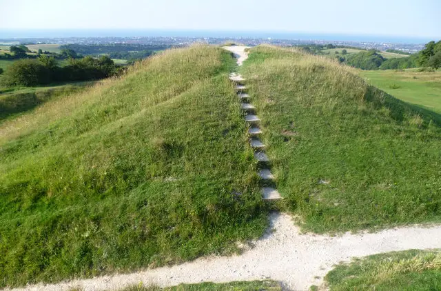
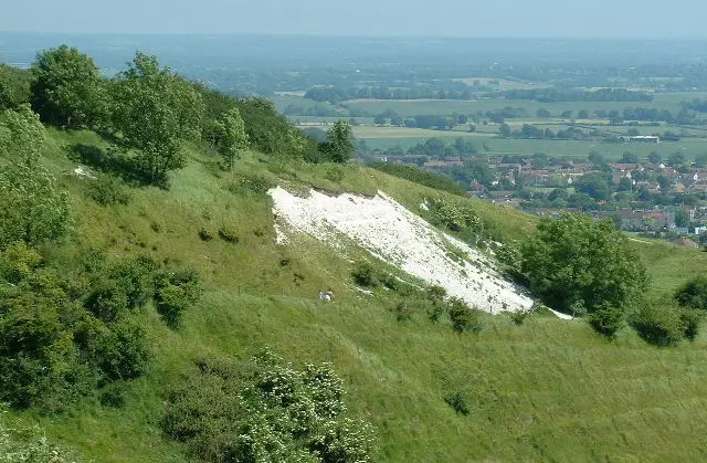
Sullington Warren · Photo: Peter Holmes

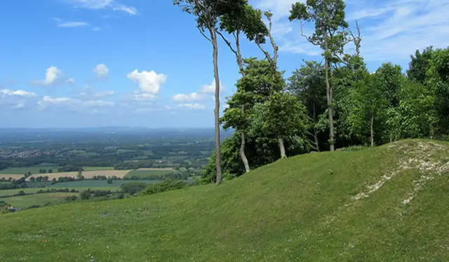
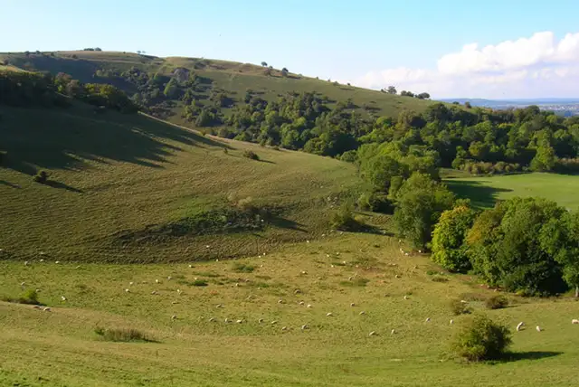
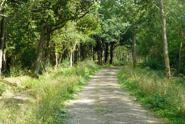
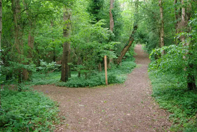
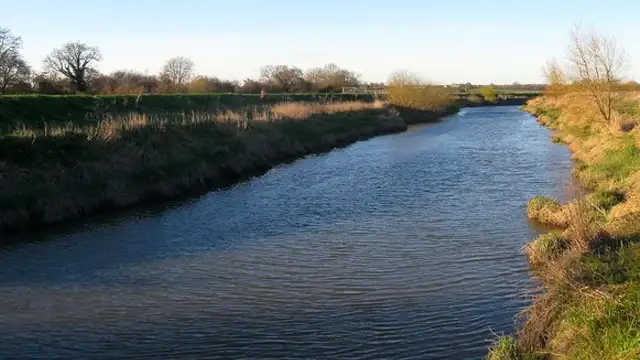
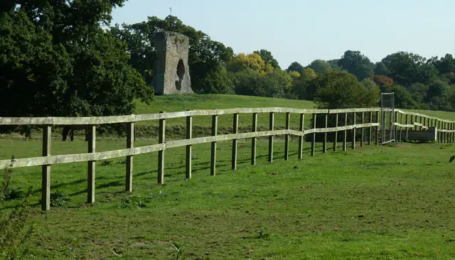
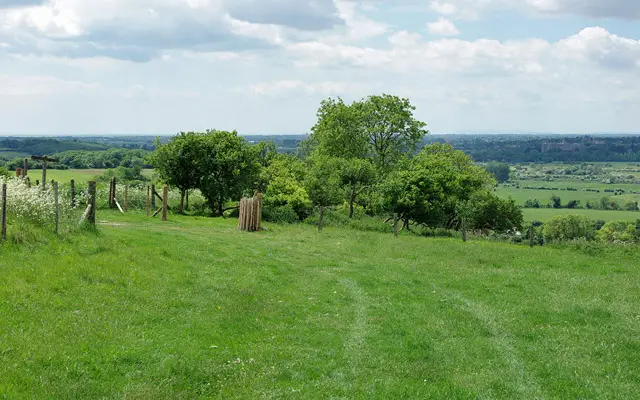
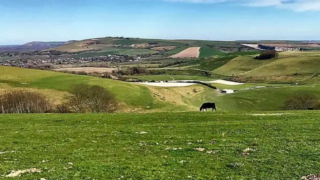
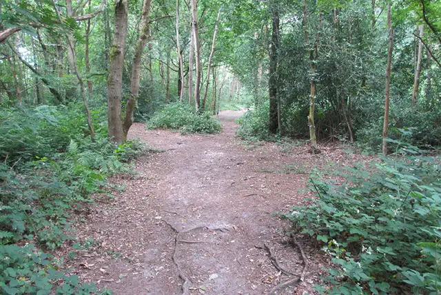
Set within the South Downs National Park in Sussex, the walks around Sullington Warren explore a mix of heathland, woodland, and open countryside just below the main chalk ridge.

These walks have a quiet, slightly wild character, with sandy paths and scattered trees shaping much of the landscape.

The shorter walk stays within Sullington Warren, while the longer route extends towards Sandgate Park near Storrington.

Together, the walks offer a relaxed way to experience this part of the South Downs, with a good mix of natural and village-edge scenery.

Download the Sussex Walks App to follow these routes with real-time GPS navigation.

Download on the App Store Get it on Google Play

Walk information

Sullington Warren Walk 1

Walk distance
1¼ miles
Time
30 mins
Route type
Circular

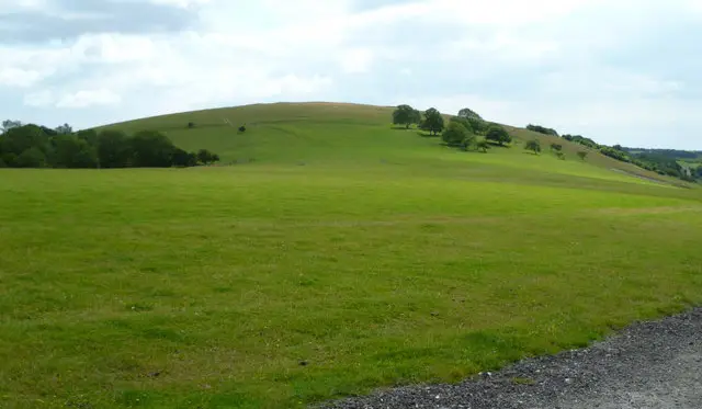
This short route explores Sullington Warren, a distinctive area of heath and woodland within the South Downs National Park.

It’s an easy-going wander that captures the quieter, wilder feel just below the South Downs ridge.

Sullington Warren Walk 1 No ratings yet Be the first - rate this walk in the Sussex Walks App

Walk information

Sullington Warren Walk 2

Walk distance
2¼ miles
Time
1 hour
Route type
Circular

The second walk stretches further across this contrasting corner of the National Park.

Alongside the Warren’s woodland and open ground, the route links with Sandgate Park near Storrington, where open green space and areas of trees add a more parkland atmosphere.

Together, they create a varied countryside ramble, blending heath, woodland and village-edge landscape into one satisfying walk.

Sullington Warren Walk 2 4.0 Ratings and reviews 1 rating · 1 review

Based on 1 user rating

Community feedback

Overall rating4.0

A very popular walk

Dog friendly5.0 / 5
Path condition5.0 / 5
Buggy friendly1.0 / 5
Wheelchair friendly1.0 / 5
Toilet facilities1.0 / 5
Pub or café1.0 / 5
Route accuracy5.0 / 5
ClimbingSteep climbs
LivestockNo livestock
StilesNo stiles
Mud levelMay be muddy after wet weather

Real feedback from people who have completed this walk using the Sussex Walks app.

First-hand experiences

User reviews

Walker review

The description suggested and easy flat walk, however there are more than 1 vary steep hills to climb.

Navigate the walks

Sussex Walks App

Follow the Sullington Warren walks with GPS guidance

It's like sat-nav, but for footpaths.

Choose a walk and follow the pointer showing your live position on the route map, so you always know you're on the right path.

The app works without a phone signal, so you can keep following the route wherever the walk takes you.

Download the app

Download on the App Store Get it on Google Play
Sussex Walks app showing the walker's live position on a route map

Designed to be simple

  • Choose a walk and follow the pointer
  • See your live position on the route map
  • Works without a phone signal
  • Includes 400 Sussex walks
  • Free one-month trial
  • Available for iPhone and Android

Explore the area

Nearby walks

Explore the county

Sussex walks map

Map data © OpenStreetMap contributors

Search Sussex walks

See where the walks start, explore the area and tap a pin to find a route for your next adventure.

Search Sussex walks
Expanded route map for Sullington Warren Walk 1, a 1.25 mile circular walk in Sussex