

Sussex Walks

Chanctonbury Ring Walk and Map

Chanctonbury Ring walk, Sussex
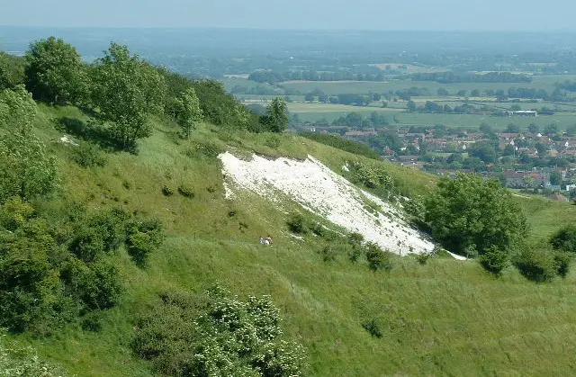
Chanctonbury Ring · Photo: Chris Heaton

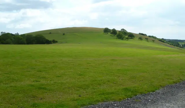
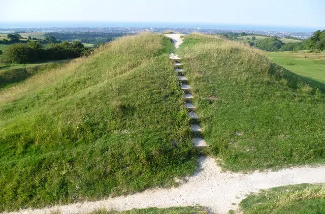
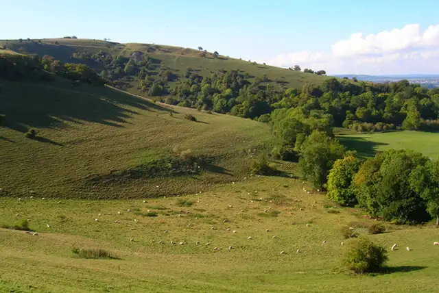
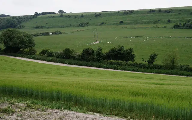
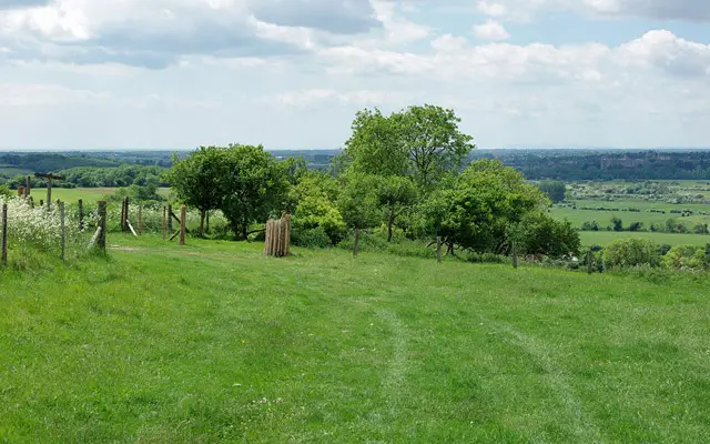
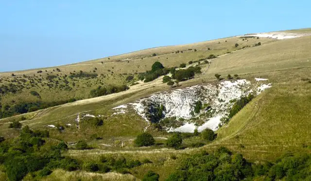
Chanctonbury Ring is an Iron Age hill fort at the top of Chanctonbury Hill in West Sussex and it’s believed that it may even date back as far as the Bronze Age. It also forms part of the South Downs Way which runs along the hill and is a great walking location with challenging walks and spectacular views over the Sussex countryside.

Download the Sussex Walks App to follow this route with real-time GPS navigation.

Download on the App Store Get it on Google Play

On a computer? Scan the QR code with your phone's camera to get the Sussex Walks app.

Walk information

Chanctonbury Ring


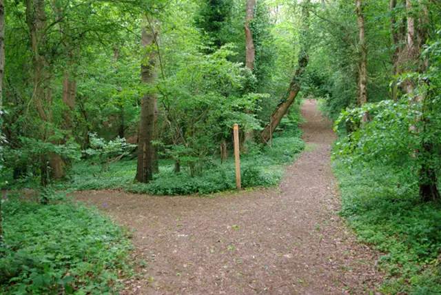
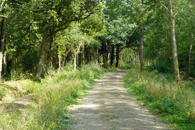
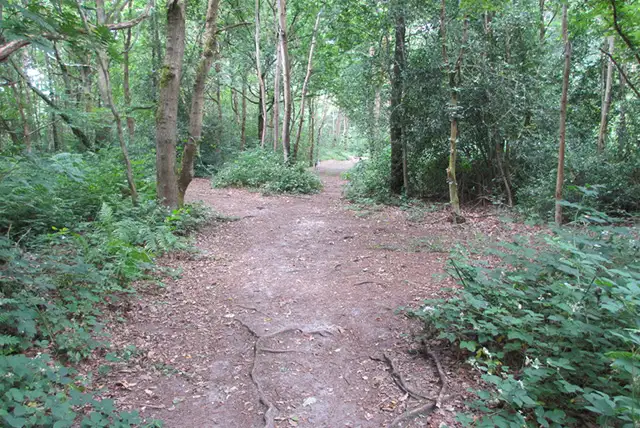
If you are looking for a short but strenuous walk with great views then the first walk on the app is for you. The 2.5 mile walk will take you through woodland, along part of the South Downs Way and to the Chanctonbury Ring Iron Age hill fort.

If you would prefer to venture a little further, the second walk includes more woodland and takes you to a village called Washington where you can find a pub. This walk also takes you along the South downs Way and like the first route, you will need plenty of energy for the hill climbs.

The third strenuous 5 mile walk is for those of you who really want to expel some energy. This walk includes Chanctonbury Ring and the woodland like the first walk but explores much more of the downs and rewards you with lovely views. There are no places for refreshments on this walk so please go prepared for an energetic hilly walk.

The longest Chanctonbury Ring walk in an extension of the previous route and also takes you along the Monarch's way. This walk is a long 8.75 mile trek with lots of hills and wonderful views all around. Like before, there are no places for refreshments so please be prepared with plenty of food, water and appropriate equipment.

This Chanctonbury Ring walk starts at coordinates: 50.896652, -0.408426

Navigate the walks

Sussex Walks App

Follow the Chanctonbury Ring walk with GPS guidance

It's like sat-nav, but for footpaths.

Choose a walk and follow the pointer showing your live position on the route map, so you always know you're on the right path.

The app works without a phone signal, so you can keep following the route wherever the walk takes you.

Download the app

Download on the App Store Get it on Google Play

On a computer? Scan the QR code with your phone's camera to get the Sussex Walks app.

Sussex Walks app showing the walker's live position on a route map

Designed to be simple

  • Choose a walk and follow the pointer
  • See your live position on the route map
  • Works without a phone signal
  • Includes 400 Sussex walks
  • Free one-month trial
  • Available for iPhone and Android

Explore the area

Nearby walks

Explore the county

Sussex walks map

Map data © OpenStreetMap contributors

Search Sussex walks

See where the walks start, explore the area and tap a pin to find a route for your next adventure.

Search Sussex walks
Expanded route map for Chanctonbury Ring, a 2.5 mile circular walk in Sussex