

Sussex Walks

Steyning Bowl Walks & Route Maps

Steyning Bowl walk, Sussex
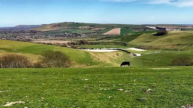
Steyning Bowl · Photo: Ian Hawfinch

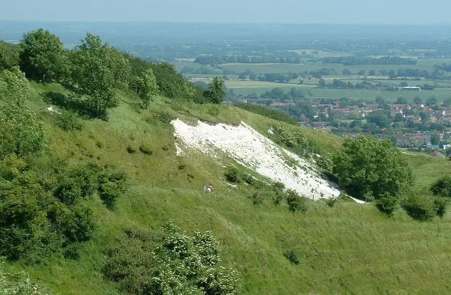
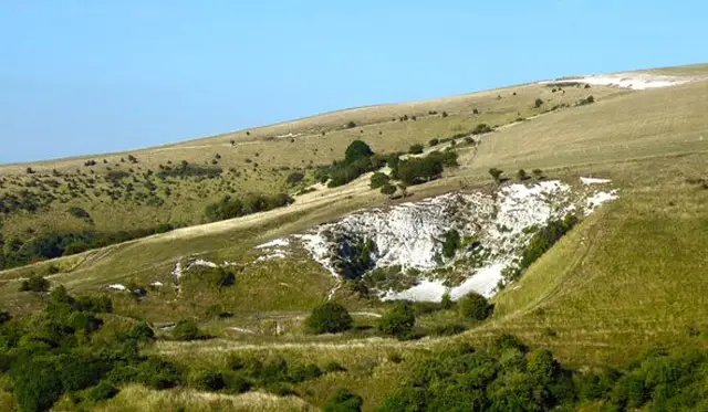
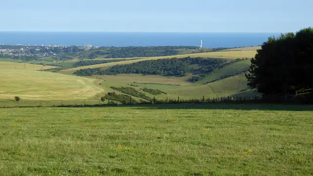
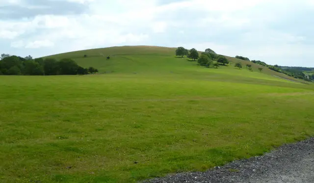
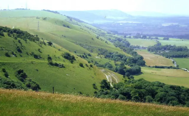
Set within the South Downs in Sussex, the walks around Steyning Bowl explore a striking natural hollow surrounded by rolling chalk hills.

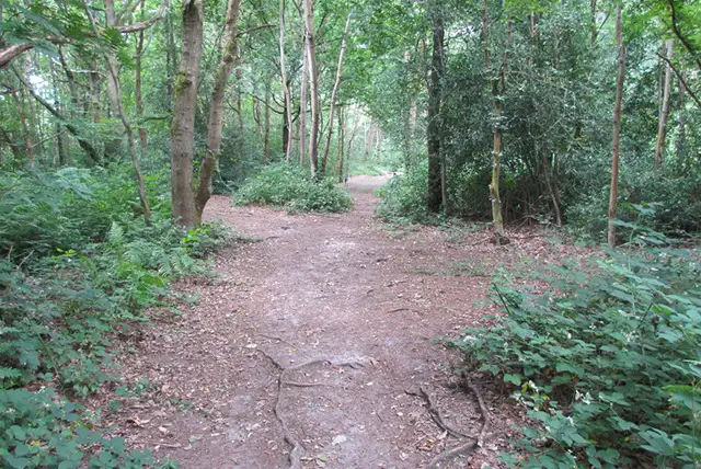
These walks follow open downland paths with wide views and a clear sense of the landscape’s shape and geology.

One option is a shorter, more relaxed circuit within the Bowl itself, focusing on its distinctive amphitheatre-like form.

The longer route is far more energetic, climbing out onto the surrounding ridges and linking with the Monarch’s Way before continuing towards Cissbury Ring and its Iron Age hillfort.

Together, the walks offer two very different ways to experience this distinctive part of the South Downs.

Download the Sussex Walks App to follow these routes with real-time GPS navigation.

Download on the App Store Get it on Google Play

Walk information

Steyning Bowl Walk 1

Walk distance
2¾ miles
Time
1.5 hours
Route type
Circular

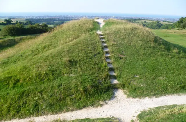
This short Steyning Bowl walk explores the distinctive hollow formed by the South Downs around Steyning.

The route keeps to classic downland terrain, with rolling slopes and open views that reflect the geology of the Downs.

It’s a straightforward, rewarding stroll that captures the shape and feel of this unique South Downs landscape.

Steyning Bowl Walk 1 5.0 Ratings and reviews 1 rating

Based on 1 user rating

Community feedback

Overall rating5.0

An outstanding walk

Dog friendly4.0 / 5
Path condition4.0 / 5
Buggy friendly1.0 / 5
Wheelchair friendly1.0 / 5
Toilet facilities1.0 / 5
Pub or café1.0 / 5
Route accuracy5.0 / 5
ClimbingGentle slopes
LivestockSome livestock
StilesNo stiles
Mud levelDry underfoot

Real feedback from people who have completed this walk using the Sussex Walks app.

Walk information

Steyning Bowl Walk 2

Walk distance
7 miles
Time
3.5 hours
Route type
Circular

This second option is a much more energetic walk, taking you on a sweeping South Downs route that climbs from the natural hollow around Steyning onto the open chalk hills above.

The amphitheatre-like landscape gives way to broad ridges and far-reaching views.

The path also links with the Monarch’s Way, the 625-mile trail tracing King Charles II’s escape in 1651, before heading towards Cissbury Ring, one of England’s largest Iron Age hillforts, set within earlier Neolithic flint mines.

It’s a walk that combines geology, national history and classic downland scenery in one memorable outing.

Steyning Bowl Walk 2 No ratings yet Be the first - rate this walk in the Sussex Walks App

Navigate the walks

Sussex Walks App

Follow the Steyning Bowl walks with GPS guidance

It's like sat-nav, but for footpaths.

Choose a walk and follow the pointer showing your live position on the route map, so you always know you're on the right path.

The app works without a phone signal, so you can keep following the route wherever the walk takes you.

Download the app

Download on the App Store Get it on Google Play
Sussex Walks app showing the walker's live position on a route map

Designed to be simple

  • Choose a walk and follow the pointer
  • See your live position on the route map
  • Works without a phone signal
  • Includes 400 Sussex walks
  • Free one-month trial
  • Available for iPhone and Android

Explore the area

Nearby walks

Explore the county

Sussex walks map

Map data © OpenStreetMap contributors

Search Sussex walks

See where the walks start, explore the area and tap a pin to find a route for your next adventure.

Search Sussex walks
Expanded route map for Steyning Bowl Walk 1, a 2.75 mile circular walk in Sussex