

Sussex Walks

Angmering Park Walks & Route Maps

Angmering Park walk, Sussex
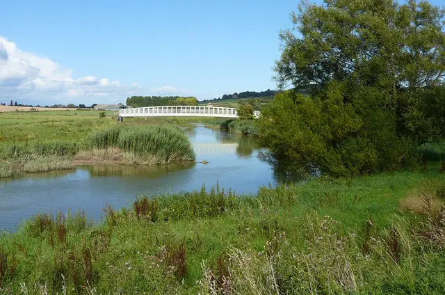
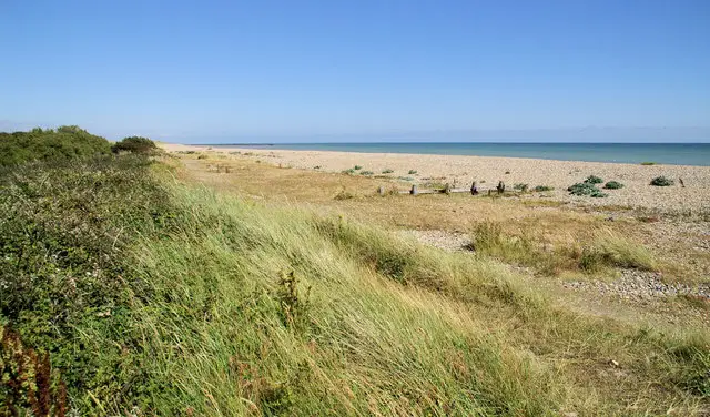
Angmering Park · Photo: Robin Webster

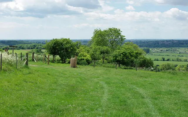
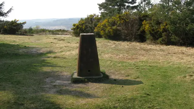
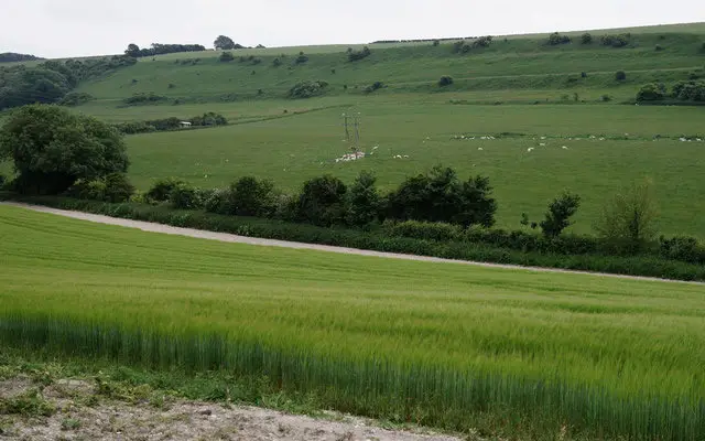
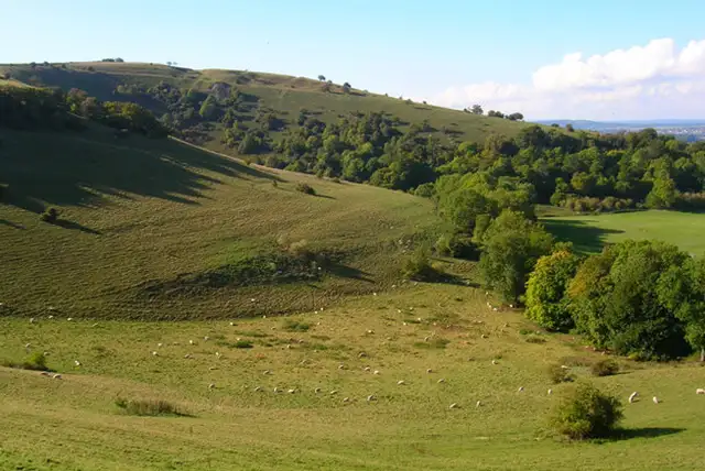
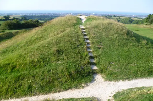
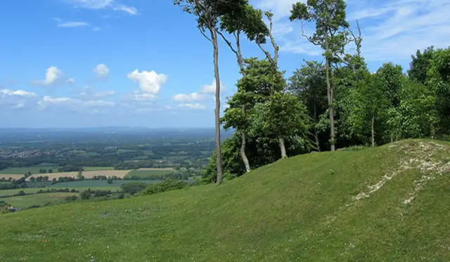
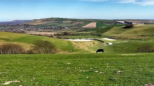
These walks explore the edge of the South Downs National Park around Angmering Park, combining open parkland, woodland, and gently rolling farmland.

At the heart of the area is the historic Angmering Park Estate, with its 18th-century house and wide downland views.

Whether you choose the shorter circuit or the longer route extending into Wephams Wood and along the Monarch’s Way, these walks offer a peaceful and varied outing through classic West Sussex countryside.

Download the Sussex Walks App to follow these routes with real-time GPS navigation.

Download on the App Store Get it on Google Play

Walk information

Angmering Park Walk 1

Walk distance
3¼ miles
Time
1.5 hours
Route type
Circular

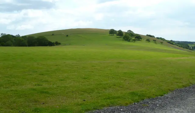
This shorter route offers a relaxed circuit (after an initial steep section) on the edge of the South Downs National Park.

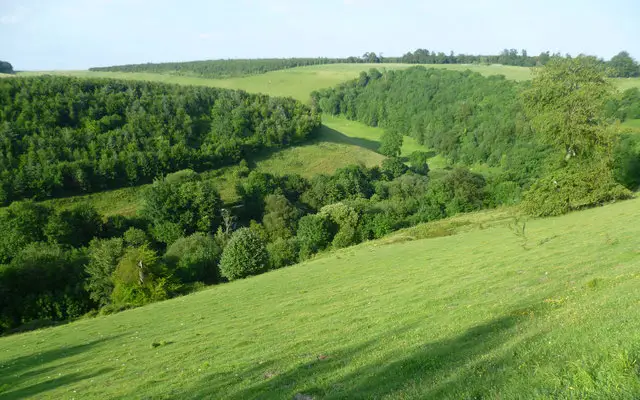
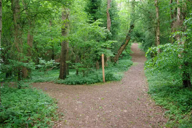
Open parkland, woodland, and nearby farmland create a wide, open downland landscape with gentle slopes and broad views typical of this part of West Sussex.

At its centre sits Anmering Park Estate, focused on Anmering Park House, originally built in the 18th century.

Angmering Park Walk 1 5.0 Ratings and reviews 1 rating

Based on 1 user rating

Community feedback

Overall rating5.0

An outstanding walk

Dog friendly5.0 / 5
Path condition5.0 / 5
Buggy friendly2.0 / 5
Wheelchair friendly1.0 / 5
Toilet facilities1.0 / 5
Pub or café1.0 / 5
Route accuracy5.0 / 5
ClimbingSome climbing
LivestockRarely any livestock
StilesA stile or two
Mud levelBoots recommended

Real feedback from people who have completed this walk using the Sussex Walks app.

Walk information

Angmering Park Walk 2

Walk distance
6 miles
Time
3 hours
Route type
Circular

The longer option builds on that same setting, venturing further into the surrounding landscape.

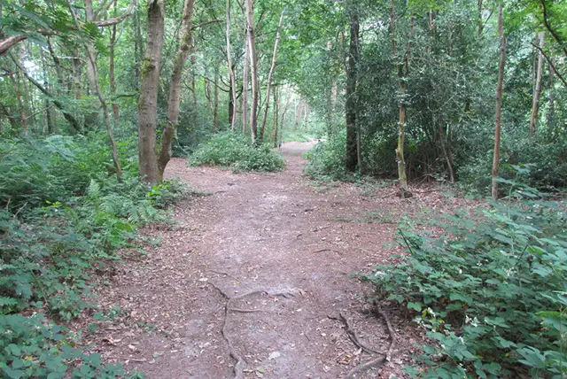
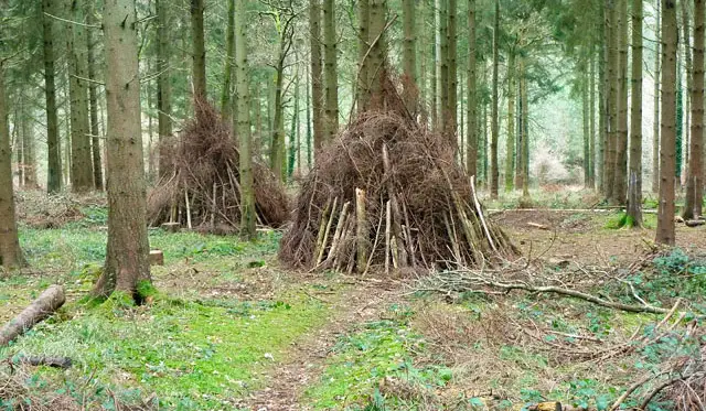
The estate remains a focal point, before the scenery deepens into Wephams Wood, an area of ancient woodland within the National Park.

The route also meets the Monarch's Way, the long-distance trail tracing the escape of Charles II in 1651.

Angmering Park Walk 2 4.0 Ratings and reviews 1 rating

Based on 1 user rating

Community feedback

Overall rating4.0

A very popular walk

Dog friendly5.0 / 5
Path condition3.0 / 5
Buggy friendly3.0 / 5
Wheelchair friendly2.0 / 5
Toilet facilities1.0 / 5
Pub or café1.0 / 5
Route accuracy5.0 / 5
ClimbingGentle slopes
LivestockNo livestock
StilesNo stiles
Mud levelWellies when wet

Real feedback from people who have completed this walk using the Sussex Walks app.

Navigate the walks

Sussex Walks App

Follow the Angmering Park walks with GPS guidance

It's like sat-nav, but for footpaths.

Choose a walk and follow the pointer showing your live position on the route map, so you always know you're on the right path.

The app works without a phone signal, so you can keep following the route wherever the walk takes you.

Download the app

Download on the App Store Get it on Google Play
Sussex Walks app showing the walker's live position on a route map

Designed to be simple

  • Choose a walk and follow the pointer
  • See your live position on the route map
  • Works without a phone signal
  • Includes 400 Sussex walks
  • Free one-month trial
  • Available for iPhone and Android

Explore the area

Nearby walks

Explore the county

Sussex walks map

Map data © OpenStreetMap contributors

Search Sussex walks

See where the walks start, explore the area and tap a pin to find a route for your next adventure.

Search Sussex walks
Expanded route map for Angmering Park Walk 1, a 3.25 mile circular walk in Sussex