

Sussex Walks

Waltham Brooks Walks & Route Maps

Waltham Brooks walk, Sussex
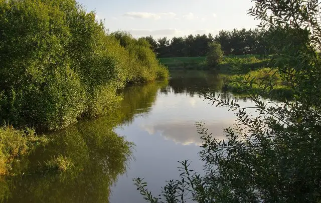
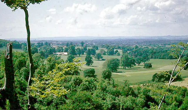
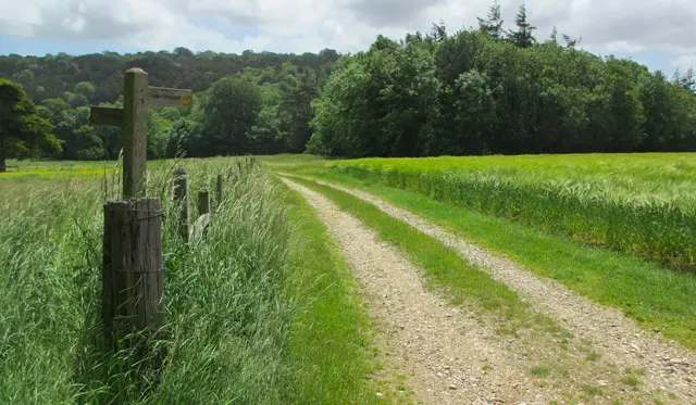
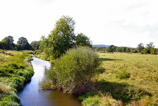
Waltham Brooks · Photo: Robin Webster

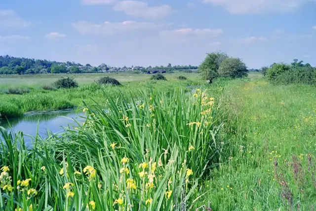
Set in the Arun Valley in Sussex, the walks around Waltham Brooks explore a flat, open wetland landscape shaped by grazing and seasonal water levels.

These walks are generally easy-going, with wide views across marsh, ditches, and farmland.

The shorter walk stays within Waltham Brooks Nature Reserve, while the longer route continues towards Amberley Wild Brooks and the River Arun, returning past local cafés and pubs such as Amberley Tea Rooms and The Black Horse.

Together, the walks give a simple way to explore this part of Sussex, with plenty of open countryside and wetland scenery.

Download the Sussex Walks App to follow these routes with real-time GPS navigation.

Download on the App Store Get it on Google Play

Walk information

Waltham Brooks Walk 1

Walk distance
1½ miles
Time
1 hour
Route type
Circular

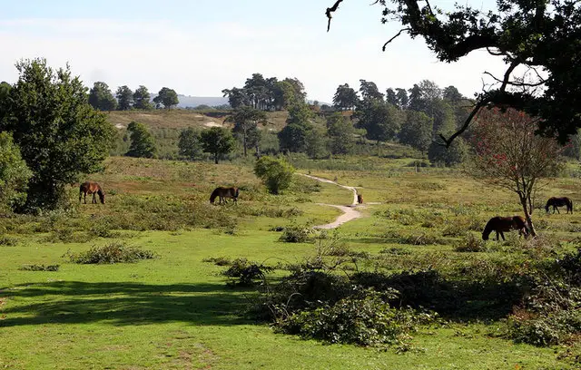
Our first route is a short walk into the open marshland of the Arun Valley.

Waltham Brooks Nature Reserve, managed by Sussex Wildlife Trust, protects a broad landscape of wet grassland and drainage ditches shaped by centuries of grazing and seasonal flooding.

Waltham Brooks Walk 1 No ratings yet Be the first - rate this walk in the Sussex Walks App

Walk information

Waltham Brooks Walk 2

Walk distance
6½ miles
Time
3.5 hours
Route type
Circular

This longer walk expands the experience across more of the valley’s floodplain.

After crossing Waltham Brooks, the route reaches Amberley Wild Brooks, another historic sweep of marsh beside the River Arun, known for its winter birdlife and wide, open views.

The second half follows a linear there-and-back section.

Along the way, Amberley Tea Rooms and The Black Horse offer well-earned stopping points on this long walk through one of Sussex’s most distinctive wetland landscapes.

Waltham Brooks Walk 2 No ratings yet Be the first - rate this walk in the Sussex Walks App

Navigate the walks

Sussex Walks App

Follow the Waltham Brooks walks with GPS guidance

It's like sat-nav, but for footpaths.

Choose a walk and follow the pointer showing your live position on the route map, so you always know you're on the right path.

The app works without a phone signal, so you can keep following the route wherever the walk takes you.

Download the app

Download on the App Store Get it on Google Play
Sussex Walks app showing the walker's live position on a route map

Designed to be simple

  • Choose a walk and follow the pointer
  • See your live position on the route map
  • Works without a phone signal
  • Includes 400 Sussex walks
  • Free one-month trial
  • Available for iPhone and Android

Explore the area

Nearby walks

Explore the county

Sussex walks map

Map data © OpenStreetMap contributors

Search Sussex walks

See where the walks start, explore the area and tap a pin to find a route for your next adventure.

Search Sussex walks
Expanded route map for Waltham Brooks Walk 1, a 1.5 mile circular walk in Sussex